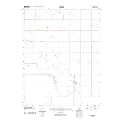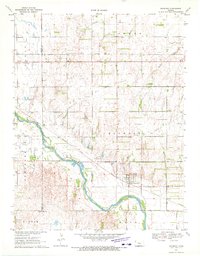
1970 Map of Raymond
USGS Topo · Published 1972About this map
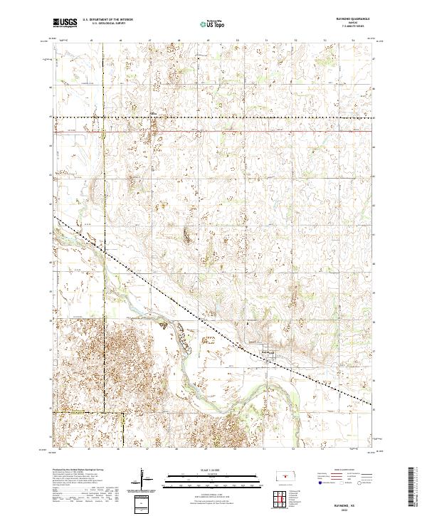
The Arkansas River meanders across this central Kansas landscape, defining the character of the riverbottom land and the small settlements that grew along its banks. By the late 1960s, the region reflected a complex overlap of agricultural life and industrial extraction, most notably within the expansive Chase Silica Oil Field and the nearby operations of a sandpit. The small town of Raymond serves as a local hub, situated alongside the Atchison Topeka and Santa Fe railroad line. For those researching family history in Rice County, the map provides precise locations for the Immanuel Cem and Hilltop Cem. Remote aviation is noted at Peters Landing Field, while the hamlet of Silica marks a rail point further west. The topography is further etched by a significant pipeline corridor and drainage from Spring Creek.
Find a feature on this map
20 named features on this map. Tap any name to fly to it.
Don’t see what you’re looking for? This feature index may not catch every label — zoom into the map to look around manually.
Map Details
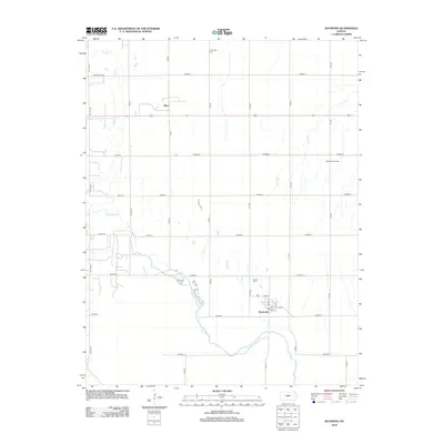
Editions of this 1970 Raymond Map
This is the sole edition of this map. No revisions or reprints were ever made.
Historical Maps of Raymond Through Time
6 maps found