
1967 Map of Alden NW
USGS Topo · Published 1968About this map
The Quivira National Wildlife Refuge dominates the western landscape of this mid-century survey, revealing a complex network of wetlands and water management where Stafford, Rice, and Reno counties meet. The convergence of Arkansas River and Salt Creek in the northeast contrasts with the managed hydrologic features of the refuge, such as Lake Darrynane and Park Smith Lake. This area of Kansas was clearly transitioning through industrial development, evidenced by the numerous Oil Wells and a significant Pipeline corridor cutting through the township sections. Local water dynamics are meticulously captured through features like the Gaging Station on Salt Creek and the winding course of Rattlesnake Creek, illustrating the intersection of natural prairie drainage and mid-century land use.
Find a feature on this map
16 named features on this map. Tap any name to fly to it.
Don’t see what you’re looking for? This feature index may not catch every label — zoom into the map to look around manually.
Map Details
Editions of this 1967 Alden NW Map
This is the sole edition of this map. No revisions or reprints were ever made.
Other maps of this area

1891 · Great Bend
USGS Topo · 1:125,000

1893 · Great Bend
USGS Topo · 1:125,000

1894 · Lyons
USGS Topo · 1:125,000

1955 · Great Bend
USGS Topo · 1:250,000

1957 · Great Bend
USGS Topo · 1:250,000

1957 · Ellinwood
USGS Topo · 1:24,000

1958 · Great Bend
USGS Topo · 1:250,000

1967 · Alden
USGS Topo · 1:24,000
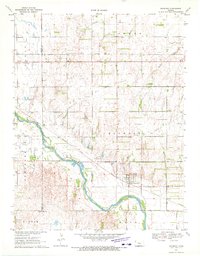
1970 · Raymond
USGS Topo · 1:24,000
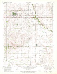
1970 · Chase
USGS Topo · 1:24,000