Old Maps of Crawford, Kansas for Genealogy
Trace your family roots with 11 historic maps of Crawford. These high-res maps reveal old neighborhoods, homesites, landmarks, and streets — helping you uncover where your ancestors lived and how the area evolved over time.
- Explore historic neighborhoods: Identify where your relatives may have lived in the 1800s or 1900s.
- Compare maps over time: Trace the changes in streets, buildings, and landmarks for multi-generational research.
- Perfect for genealogy & ancestry research: Used by family historians and researchers to map out lineage and migration.
These maps are an incredible resource for exploring your personal connection to Crawford's past.
Crawford, KS maps
(11)- 1894 Map of Ellsworth
 1894 Ellsworth1894 Print · USGSCentral Kansas was undergoing a period of rapid railway expansion in the late nineteenth century, transforming the prairie into a network of grid-organized townships. Genealogists and historians can trace early town sites and rail junctions like Ellsworth, Holyrood, and the path of the Union Pacific Railway.4 unique versions available
 - 1955 Map of Great Bend, 1966 Print
 1955 Great Bend1966 Print · USGSCentral Kansas during the mid-sixties transition reveals a landscape defined by new reservoirs and enduring rail corridors. Researchers can trace the development of towns like Hays and Great Bend or locate natural landmarks such as Round Mound and the wetlands of the Quivira National Wildlife Refuge.3 unique versions available
 - 1957 Map of Great Bend
 1957 Great Bend1957 Print · USGSCentral Kansas at the peak of the postwar era shows a landscape of growing rail hubs and massive new water projects. Trace the routes of the Union Pacific through Hays or locate the newly formed shorelines of Cedar Bluff Reservoir and Kanopolis Reservoir.
 - 1958 Map of Great Bend
 1958 Great Bend1958 Print · USGSCentral Kansas in the late fifties reveals a landscape of high-plains agriculture and vital river crossings. Researchers can trace the development of regional hubs like Hays and Russell, or locate historic sites such as Fort Larned and the Cheyenne Bottoms wildlife area.2 unique versions available
 - 1964 Map of Crawford, 1965 Print
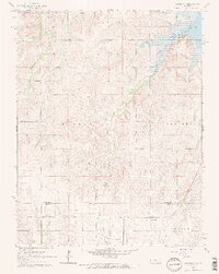 1964 Crawford1965 Print · USGSCentral Kansas agriculture meets the petroleum industry in the mid-1960s as the MISSOURI PACIFIC railroad connects rural townships. Genealogists can trace family footprints across several rural burial sites, including Scaife Cem and Forest Grove Cem, near the Click Southeast Oil Field.2 unique versions available
 - 1985 Map of Russell
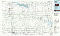 1985 Russell1985 Print · USGSCentral Kansas in the mid-eighties shows a landscape defined by the energy industry and massive water projects. Genealogists and researchers can trace the rural road networks connecting Russell and Ellsworth to smaller locales like Dubuque and Black Wolf.2 unique versions available
 - 2010 Map of Crawford, 2010 Print
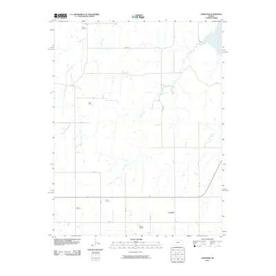 2010 Crawford2010 Print · USGSCentral Kansas remains a landscape of quiet rural industry and family legacy in this recent survey. Genealogists and researchers can locate old burial sites like Scates Cemetery and Liscum Cemetery or trace the reach of the Rush Field oil works.
 - 2012 Map of Crawford, 2012 Print
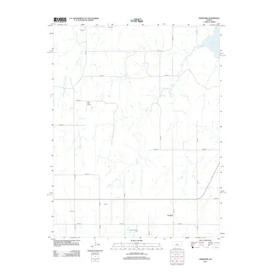 2012 Crawford2012 Print · USGSRice County agriculture and small-town infrastructure are on display here in the early twenty-first century. Genealogists and local historians can locate early family-named sites such as Scates Cem and the Click Southeast Oil Field.
 - 2015 Map of Crawford, 2015 Print
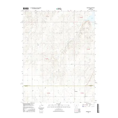 2015 Crawford2015 Print · USGSRice County agricultural lands and the southern waters of the Smoky Hill River region are captured here in the mid-2010s. Genealogists and local historians can locate several rural burial sites, including Scates Cem and Forest Grove Cem, near the town of Crawford.
 - 2018 Map of Crawford, 2018 Print
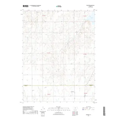 2018 Crawford2018 Print · USGSThe rural border of Rice and Ellsworth counties is captured here in the late 2010s, centered on the settlement of Crawford. Researchers can locate several historical burial sites including Scates Cemetery, Click Cemetery, and Forest Grove Cemetery.
 - 2022 Map of Crawford, 2022 Print
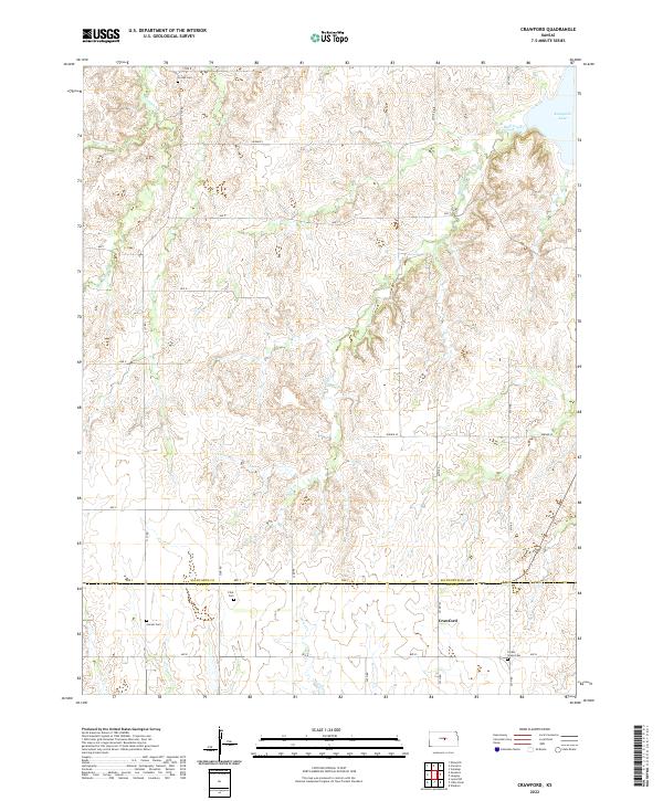 2022 Crawford2022 Print · USGSThe rural borderlands of Ellsworth and Rice Counties are mapped here in the 2020s, showing a landscape of prairie creeks and section-line roads. Genealogists can locate several historic burial sites, including Scates Cem, Liscum Cem, and the settlement at Crawford.
End of results
Showing maps 1-11 of 11
Top cities near Crawford
- Lyons historical maps
- Ellsworth historical maps
- Marquette historical maps
- Little River historical maps
- Kanopolis historical maps
- Geneseo historical maps
See more
Frequently asked questions
- What are the different types of historical maps available for Crawford?
- What is the oldest map of Crawford?
- Where can I purchase historical maps of Crawford for my home or office?
- Where can I download high-res historical maps of Crawford?
- Are there historical topographic maps available for Crawford?
- Is there historical aerial imagery available for Crawford?
- Where are historical maps of Crawford sourced from?