Old Maps of Russell, Kansas for Metal Detecting
Plan your next treasure hunt with 17 historic maps of Russell. Find old homesites, ghost towns, trails, and gathering spots that may be lost to time — perfect for identifying promising metal detecting locations.
- Locate forgotten sites: Uncover places like long-lost settlements, abandoned rail lines, or gathering spots.
- Plan better hunts: Use map overlays combined with LiDAR or satellite views to narrow in on historically rich areas.
- Made for detectorists: Thousands of hobbyists use these maps to discover relics, coins, and hidden history.
Use these historic maps to boost your research and find new opportunities beneath the surface of Russell.
Russell, KS maps
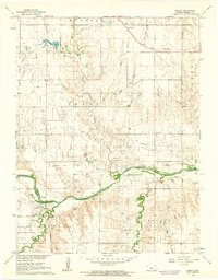
(17)- 1896 Map of Russell
 1896 Russell1896 Print · USGSCentral Kansas at the end of the nineteenth century reveals a landscape shaped by the Union Pacific and Missouri Pacific railroads. Genealogists can trace early homesteads near Maherville P.O., Dubuque, and the marshy Cheyenne Bottoms.4 unique versions available
 - 1955 Map of Great Bend, 1966 Print
 1955 Great Bend1966 Print · USGSCentral Kansas during the mid-sixties transition reveals a landscape defined by new reservoirs and enduring rail corridors. Researchers can trace the development of towns like Hays and Great Bend or locate natural landmarks such as Round Mound and the wetlands of the Quivira National Wildlife Refuge.3 unique versions available
 - 1957 Map of Great Bend
 1957 Great Bend1957 Print · USGSCentral Kansas at the peak of the postwar era shows a landscape of growing rail hubs and massive new water projects. Trace the routes of the Union Pacific through Hays or locate the newly formed shorelines of Cedar Bluff Reservoir and Kanopolis Reservoir.
 - 1958 Map of Great Bend
 1958 Great Bend1958 Print · USGSCentral Kansas in the late fifties reveals a landscape of high-plains agriculture and vital river crossings. Researchers can trace the development of regional hubs like Hays and Russell, or locate historic sites such as Fort Larned and the Cheyenne Bottoms wildlife area.2 unique versions available
 - 1961 Map of Homer, 1962 Print
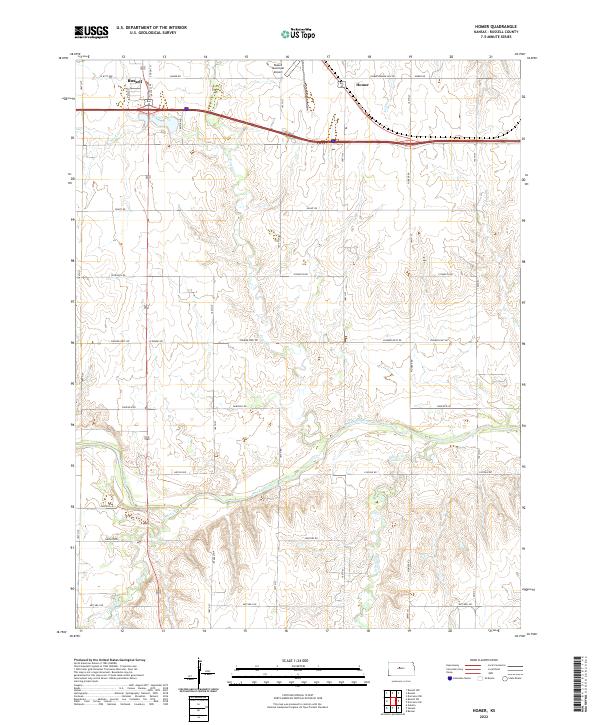
 1961 Homer1962 Print · USGSRussell County during the early sixties shows a landscape shaped by petroleum and river-valley extraction. Genealogists can locate rural schoolhouses like Grant Sch and Hawley Sch alongside the tracks of the Union Pacific railroad.2 unique versions available
 - 1967 Map of Russell, 1968 Print
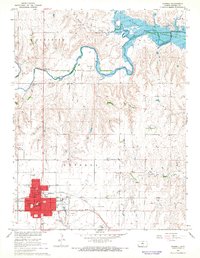 1967 Russell1968 Print · USGSMid-century Russell County is captured here just as the Wilson Reservoir began to alter the local drainage. Family history researchers can locate specific town institutions like Bickerdyke Sch, the local Cemetery, and landmarks along the Union Pacific line.
 - 1985 Map of Russell
 1985 Russell1985 Print · USGSCentral Kansas in the mid-eighties shows a landscape defined by the energy industry and massive water projects. Genealogists and researchers can trace the rural road networks connecting Russell and Ellsworth to smaller locales like Dubuque and Black Wolf.2 unique versions available
 - 2009 Map of Russell, 2009 Print
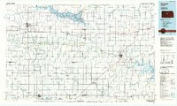
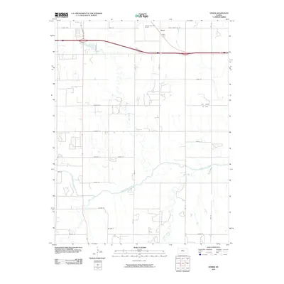
 2009 Russell2009 Print · USGSCovers Russell, including Russell County, United States, and other nearby areas
 - 2010 Map of Homer, 2010 Print
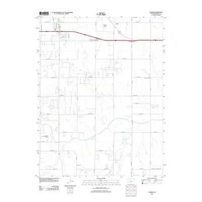
 2010 Homer2010 Print · USGSCovers Russell, including Homer, Russell County, and other nearby areas
 - 2012 Map of Homer, 2012 Print
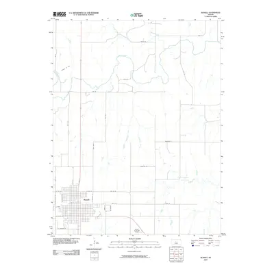
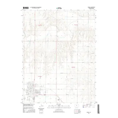
 2012 Homer2012 Print · USGSCovers Russell, including Homer, Russell County, and other nearby areas
 - 2012 Map of Russell, 2012 Print
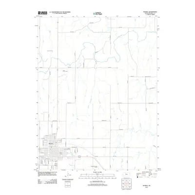 2012 Russell2012 Print · USGSCovers Russell, including Russell County, United States, and other nearby areas
 - 2015 Map of Russell, 2015 Print
 2015 Russell2015 Print · USGSCovers Russell, including Russell County, United States, and other nearby areas
 - 2016 Map of Homer, 2016 Print
 2016 Homer2016 Print · USGSCovers Russell, including Homer, Russell County, and other nearby areas
 - 2018 Map of Russell, 2018 Print
 2018 Russell2018 Print · USGSCovers Russell, including Russell County, United States, and other nearby areas
 - 2018 Map of Homer, 2018 Print
 2018 Homer2018 Print · USGSCovers Russell, including Homer, Russell County, and other nearby areas
 - 2022 Map of Homer, 2022 Print
 2022 Homer2022 Print · USGSRussell and the settlement of Homer are shown in the twenty-first century, as the local landscape transitions from town to the Smoky Hill River valley. Genealogists and local historians can trace the rural grid from 4 Corners Rd to Russell Municipal Airport.
 - 2022 Map of Russell, 2022 Print
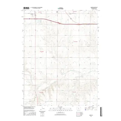
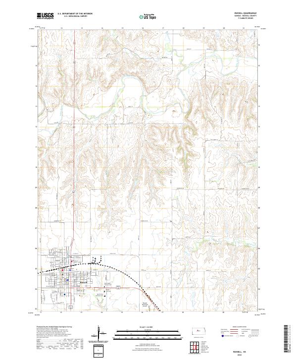 2022 Russell2022 Print · USGSRussell stands as a thriving county seat in the early twenty-first century, surrounded by the open prairie of central Kansas. Genealogists can trace local roots at Russell City Cem or Saint Johns Lutheran Cem while following the path of the Saline River.
End of results
Showing maps 1-17 of 17
Top cities near Russell
Frequently asked questions
- What are the different types of historical maps available for Russell?
- What is the oldest map of Russell?
- Where can I purchase historical maps of Russell for my home or office?
- Where can I download high-res historical maps of Russell?
- Are there historical topographic maps available for Russell?
- Is there historical aerial imagery available for Russell?
- Where are historical maps of Russell sourced from?