Old Maps of Morton Township, Kansas for Hiking & Exploration
Hike through history with 31 historic maps of Morton Township. Explore old trails, ghost towns, and forgotten backroads — perfect for outdoor adventurers and local explorers.
- Rediscover forgotten places: Map out old mining camps, roads, and footpaths that no longer exist on modern maps.
- Layer with modern tools: Combine with LiDAR or satellite views to plan hikes through historical terrain.
- Made for exploration: Popular among hikers, overlanders, and local history lovers.
Use these maps to find adventure and explore the hidden past of Morton Township.
Morton Township, KS maps
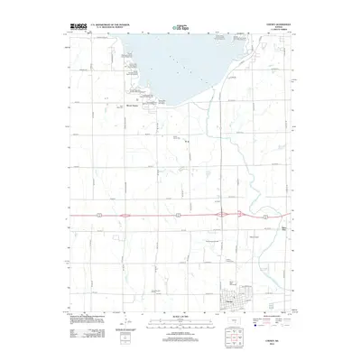
(31)- 1889 Map of Cheney
 1889 Cheney1889 Print · USGSSouthern Kansas in the late nineteenth century was a landscape of emerging rail towns and river crossings. Genealogists and historians can trace early post offices like Waterloo P.O. and Ost P.O. alongside established hubs like Cheney and Mt. Hope.2 unique versions available
 - 1891 Map of Cheney
 1891 Cheney1891 Print · USGSKansas prairie life in the 1890s centered on the arrival of the rails and the flow of the rivers. Genealogists and historians can trace early post offices like Stella P.O. and Mona P.O. or follow the path of the Wichita and Western Railroad through Cheney.2 unique versions available
 - 1901 Map of Cheney, 1910 Print
 1901 Cheney1910 Print · USGSSouth Central Kansas was a landscape of budding rail towns and rural post offices at the turn of the century. Genealogists can trace family roots through now-vanished locales like Stella P.O. and Mona P.O. or early hubs like Cheney and Mt. Hope.2 unique versions available
 - 1955 Map of Wichita, 1959 Print
 1955 Wichita1959 Print · USGSSouth-central Kansas comes alive in the mid-1950s as Wichita grows into its role as a regional industrial and military powerhouse. Trace the rail-and-river network connecting El Dorado and Arkansas City through the Atchison Topeka and Santa Fe lines.3 unique versions available
 - 1958 Map of Wichita
 1958 Wichita1958 Print · USGSSouth Central Kansas in the late fifties was a landscape of aviation industry, oil exploration, and expanding turnpikes. Researchers can trace mid-century growth through McConnell Air Force Base, major facilities for Cessna Aircraft Company, and the active El Dorado Oil Field.
 - 1964 Map of Cheney, 1966 Print
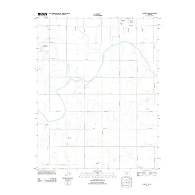
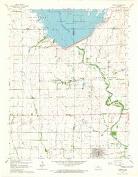 1964 Cheney1966 Print · USGSCheney and the surrounding Kansas plains appear here just as the landscape was being reshaped by the waters of the Cheney Reservoir. Researchers can trace the legacy of the Atchison Topeka and Santa Fe railroad or locate family roots at the Mt Vernon Cem and Cheney Cem.2 unique versions available
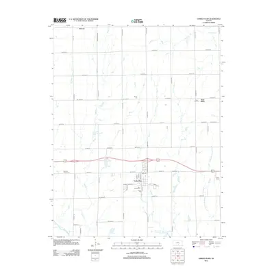
 - 1965 Map of Garden Plain, 1966 Print
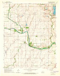
 1965 Garden Plain1966 Print · USGSGarden Plain and the surrounding Sedgwick County countryside are captured here in the mid-1960s, showing a landscape defined by rail and river. Family historians can locate St Anthony Cem, St Pauls Ch, and the small settlements of St Joe and St Marys.2 unique versions available
 - 1965 Map of Cheney SE, 1966 Print
 1965 Cheney SE1966 Print · USGSThe rural prairie of Kingman County is captured here in the mid-1960s as the river economy and oil industry shaped local life. Genealogists can locate family ties at Vinita Cem or Mt Pleasant Cem, and trace the rail line through Lansdowne.
 - 1965 Map of Lake Afton, 1966 Print
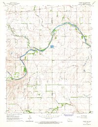
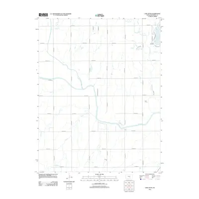
 1965 Lake Afton1966 Print · USGSWestern Sedgwick County in the mid-sixties reveals a landscape defined by the winding Ninnescah River and the emerging recreational hub at Lake Afton. Genealogists and local historians can trace the Peotone Cem and old institutional sites like the Lake Afton Boys Ranch and Camp Hyde.2 unique versions available
 - 1985 Map of Wichita
 1985 Wichita1985 Print · USGSThe mid-1980s landscape of the Wichita metro area is captured here during a peak era for the local aviation industry. Researchers can trace the sprawling rail network of the Santa Fe and Frisco or locate family landmarks at White Chapel Cem and Cheney Reservoir.
 - 1990 Map of Wichita
 1990 Wichita1990 Print · USGSThe Wichita metropolitan area and its surrounding agricultural plains are captured in the late twentieth century, showing a landscape defined by rapid suburban expansion and massive water projects. Genealogists can locate family landmarks in small towns like Garden Plain and Clonmel, or trace the development around Cheney Reservoir and McConnell Air Force Base.
 - 2009 Map of Cheney SE, 2009 Print
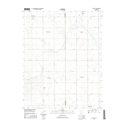
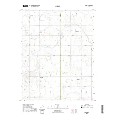
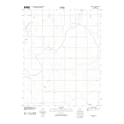 2009 Cheney SE2009 Print · USGSCovers Morton Township, including Cheney, Suppesville, and other nearby areas
 - 2009 Map of Lake Afton, 2009 Print
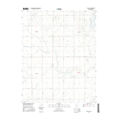
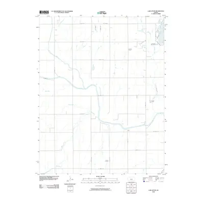 2009 Lake Afton2009 Print · USGSCovers Morton Township, including Wichita, Viola Township, and other nearby areas
 - 2009 Map of Cheney, 2009 Print
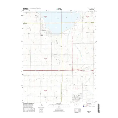
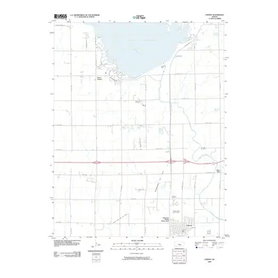 2009 Cheney2009 Print · USGSCovers Morton Township, including Cheney, Saint Paul, and other nearby areas
 - 2009 Map of Garden Plain, 2009 Print
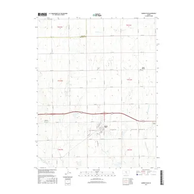
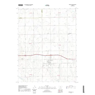
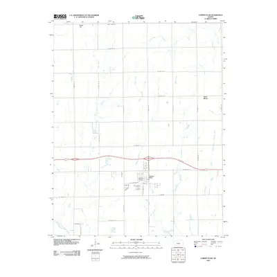 2009 Garden Plain2009 Print · USGSCovers Morton Township, including Garden Plain, Afton Township, and other nearby areas
 - 2012 Map of Cheney, 2012 Print
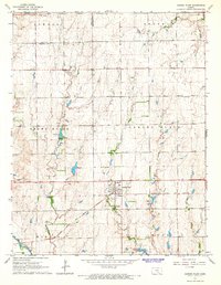
 2012 Cheney2012 Print · USGSCovers Morton Township, including Cheney, Saint Paul, and other nearby areas
 - 2012 Map of Garden Plain, 2012 Print
 2012 Garden Plain2012 Print · USGSCovers Morton Township, including Garden Plain, Afton Township, and other nearby areas
 - 2012 Map of Cheney SE, 2012 Print
 2012 Cheney SE2012 Print · USGSCovers Morton Township, including Cheney, Suppesville, and other nearby areas
 - 2012 Map of Lake Afton, 2012 Print
 2012 Lake Afton2012 Print · USGSCovers Morton Township, including Wichita, Viola Township, and other nearby areas
 - 2015 Map of Cheney SE, 2015 Print
 2015 Cheney SE2015 Print · USGSCovers Morton Township, including Cheney, Suppesville, and other nearby areas
 - 2015 Map of Garden Plain, 2015 Print
 2015 Garden Plain2015 Print · USGSCovers Morton Township, including Garden Plain, Afton Township, and other nearby areas
 - 2015 Map of Lake Afton, 2015 Print
 2015 Lake Afton2015 Print · USGSCovers Morton Township, including Wichita, Viola Township, and other nearby areas
 - 2015 Map of Cheney, 2015 Print
 2015 Cheney2015 Print · USGSCovers Morton Township, including Cheney, Saint Paul, and other nearby areas
 - 2018 Map of Cheney SE, 2018 Print
 2018 Cheney SE2018 Print · USGSCovers Morton Township, including Cheney, Suppesville, and other nearby areas
 - 2018 Map of Garden Plain, 2018 Print
 2018 Garden Plain2018 Print · USGSCovers Morton Township, including Garden Plain, Afton Township, and other nearby areas
Showing maps 1-25 of 31
Top cities near Morton Township
- Wichita historical maps
- Goddard historical maps
- Cheney historical maps
- Colwich historical maps
- Conway Springs historical maps
- Garden Plain historical maps
See more
Top neighborhoods of Morton Township
Frequently asked questions
- What are the different types of historical maps available for Morton Township?
- What is the oldest map of Morton Township?
- Where can I purchase historical maps of Morton Township for my home or office?
- Where can I download high-res historical maps of Morton Township?
- Are there historical topographic maps available for Morton Township?
- Is there historical aerial imagery available for Morton Township?
- Where are historical maps of Morton Township sourced from?