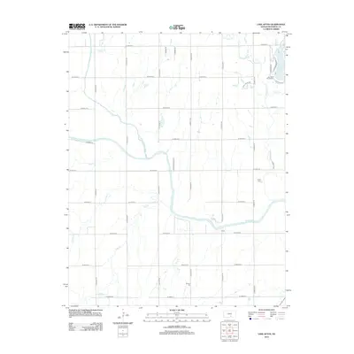
2012 Map of Lake Afton
USGS Topo · Published 2012About this map
The Ninnescah River and its major tributaries, the N Fork Ninnescah River and the S-Fork Ninnescah River, converge in this agricultural region west of Wichita. This 2012 survey shows a landscape defined by a rigid section-line road grid, including W 39th St S and S 343rd St W, which organizes the drainage of several named streams like Sand Cr and Jocelyn Cr. The northeastern corner is anchored by the recreation and institutional grounds of Lake Afton, featuring the Lake Afton Boys Ranch and the residential development of Quail Valley Est. For local historians and genealogists, the Peotone Cem in the southern portion of the sheet provides a tangible link to the area's early rural communities. The map also identifies Camp Hyde, reflecting the area's long-standing use for both agricultural production and regional youth recreation.
Find a feature on this map
37 named features on this map. Tap any name to fly to it.
Don’t see what you’re looking for? This feature index may not catch every label — zoom into the map to look around manually.
Map Details
Editions of this 2012 Lake Afton Map
This is the sole edition of this map. No revisions or reprints were ever made.
Other maps of this area

1889 · Cheney
USGS Topo · 1:125,000

1889 · Caldwell
USGS Topo · 1:125,000

1891 · Cheney
USGS Topo · 1:125,000

1893 · Caldwell
USGS Topo · 1:125,000

1897 · Caldwell
USGS Topo · 1:125,000

1901 · Cheney
USGS Topo · 1:125,000

1955 · Wichita
USGS Topo · 1:250,000

1958 · Wichita
USGS Topo · 1:250,000

1964 · Cheney
USGS Topo · 1:24,000

1965 · Garden Plain
USGS Topo · 1:24,000