
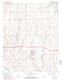
1965 Map of Garden Plain
USGS Topo · Published 1966About this map
Garden Plain serves as a central hub for this portion of the Kansas plains, situated along the Atchison Topeka and Santa Fe railway. The agricultural landscape is defined by a dense network of watercourses, including Polecat Creek, Spring Creek, and Clearwater Creek, which drain toward the Ninnescah River in the southwest. This mid-1960s survey captures a well-established rural community organized around traditional local centers like St Joe, St Marys, and the St Pauls Ch community. Genealogy researchers will find significant detail in the vicinity of Garden Plain, where both St Anthony Cem and Calvary Cem are located near the town's southern edge. The presence of Sunset Lake and other small water bodies like Lake 1430 suggests the importance of water management and local recreation in this prairie environment.
Find a feature on this map
20 named features on this map. Tap any name to fly to it.
Don’t see what you’re looking for? This feature index may not catch every label — zoom into the map to look around manually.
Map Details
Editions of this 1965 Garden Plain Map
2 editions found
Other maps of this area

1889 · Cheney
USGS Topo · 1:125,000

1891 · Cheney
USGS Topo · 1:125,000

1901 · Cheney
USGS Topo · 1:125,000

1955 · Wichita
USGS Topo · 1:250,000

1958 · Wichita
USGS Topo · 1:250,000
1958 · Colwich
USGS Topo · 1:24,000

1959 · Mount Hope
USGS Topo · 1:24,000

1964 · Cheney
USGS Topo · 1:24,000

1965 · Cheney SE
USGS Topo · 1:24,000
1965 · Clearwater
USGS Topo · 1:24,000