
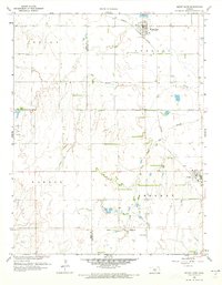
1959 Map of Mount Hope
USGS Topo · Published 1960About this map
Mount Hope and Andale anchor this late-1950s landscape where the agricultural plains meet the emerging industrial infrastructure of south-central Kansas. The Missouri Pacific Railroad cuts a diagonal path through the terrain, dictating the development of the small towns and grain-handling areas along its route. Across the southern section of the quadrangle, the Old Indian Boundary remains a marked legal line, bisecting the township divisions of Sherman and Sumner.
Find a feature on this map
19 named features on this map. Tap any name to fly to it.
Don’t see what you’re looking for? This feature index may not catch every label — zoom into the map to look around manually.
Map Details
Editions of this 1959 Mount Hope Map
2 editions found
Other maps of this area

1889 · Cheney
USGS Topo · 1:125,000

1891 · Cheney
USGS Topo · 1:125,000

1901 · Cheney
USGS Topo · 1:125,000

1955 · Wichita
USGS Topo · 1:250,000

1958 · Wichita
USGS Topo · 1:250,000

1958 · Patterson
USGS Topo · 1:24,000
1958 · Bentley
USGS Topo · 1:24,000
1958 · Colwich
USGS Topo · 1:24,000
1961 · Haven
USGS Topo · 1:24,000

1964 · Cheney
USGS Topo · 1:24,000