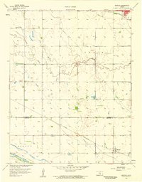
1958 Map of Bentley
USGS Topo · Published 1959About this map
Bentley and the southern edge of Halstead anchor this late-1950s landscape where the high plains of Kansas meet the drainage of the Arkansas River. The terrain is defined by the winding course of Kiskiwa Creek, which meanders across several townships including Lake and Lakin. This survey documents a rural society built on a precise grid of sections, punctuated by essential community institutions like Enterprise Sch, Bethany Ch, and Grace Ch.
Find a feature on this map
18 named features on this map. Tap any name to fly to it.
Don’t see what you’re looking for? This feature index may not catch every label — zoom into the map to look around manually.
Map Details
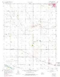
Editions of this 1958 Bentley Map
2 editions found
Other maps of this area

1889 · Newton
USGS Topo · 1:125,000

1889 · Cheney
USGS Topo · 1:125,000

1889 · Wichita
USGS Topo · 1:125,000

1891 · Hutchinson
USGS Topo · 1:125,000

1891 · Cheney
USGS Topo · 1:125,000

1893 · Hutchinson
USGS Topo · 1:125,000

1894 · Wichita
USGS Topo · 1:125,000

1894 · Newton
USGS Topo · 1:125,000

1901 · Cheney
USGS Topo · 1:125,000

1941 · Maize
USGS Topo · 1:31,680