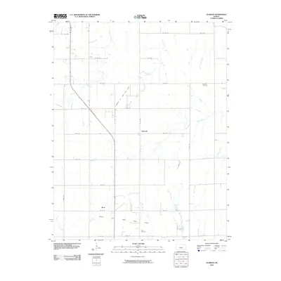
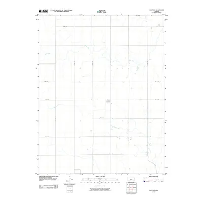
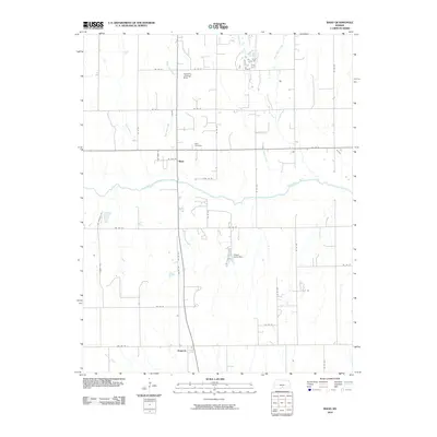
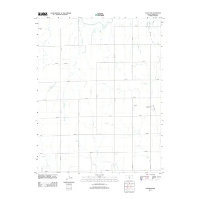
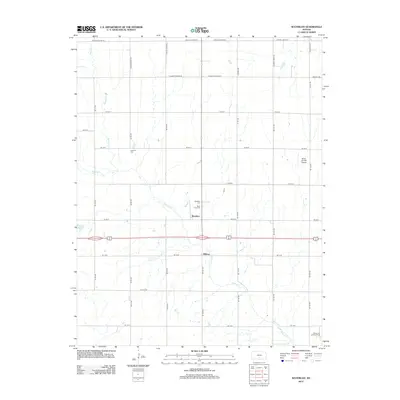
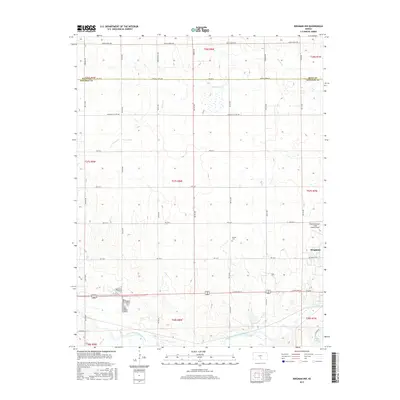
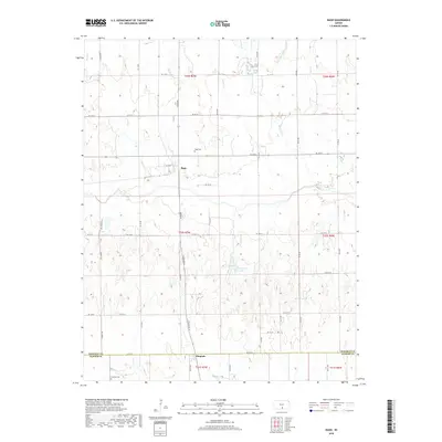
1965 Map of Cheney SE
USGS Topo · Published 1966About this map
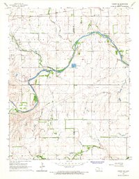
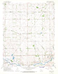
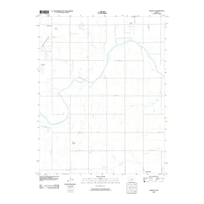
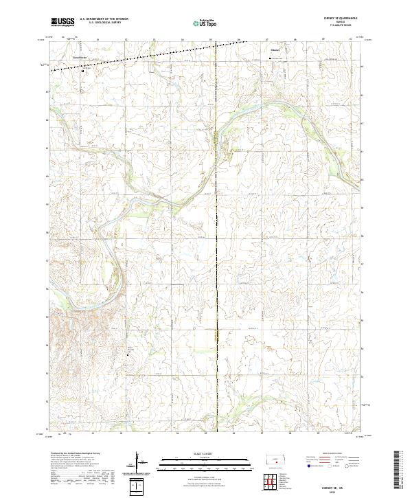
The South Fork Ninnescah River carves a broad diagonal path across this mid-1960s landscape, serving as a primary drainage for the surrounding prairie of Vinita and Morton townships. The map documents an era of resource extraction and infrastructure, notably the Bolinger Oil Field and scattered industry like the Shale Pit and Sandpit. Along the northern edge, the Atchison Topeka and Santa Fe railroad runs parallel to the highway, connecting the settlement of Lansdowne with the outskirts of Cheney.
Find a feature on this map
23 named features on this map. Tap any name to fly to it.
Don’t see what you’re looking for? This feature index may not catch every label — zoom into the map to look around manually.
Map Details
Editions of this 1965 Cheney SE Map
This is the sole edition of this map. No revisions or reprints were ever made.
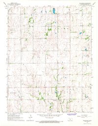
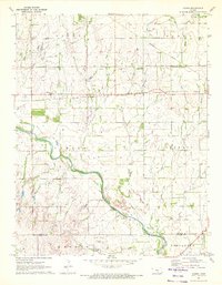
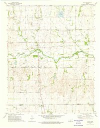
Historical Maps of Cheney Through Time
54 maps found
1965 Cheney SE
Kingman County, KS
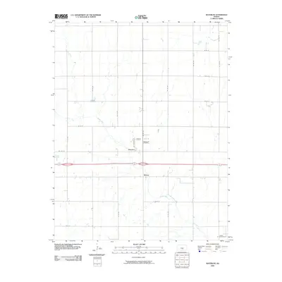
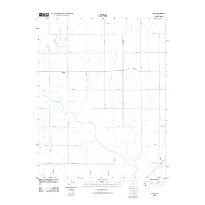
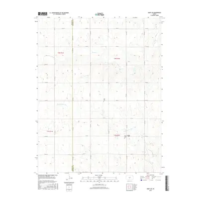
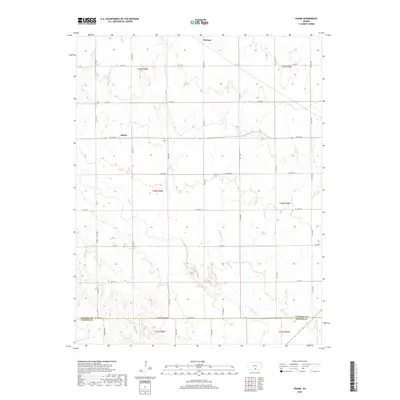
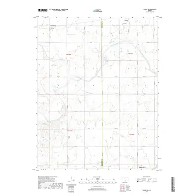
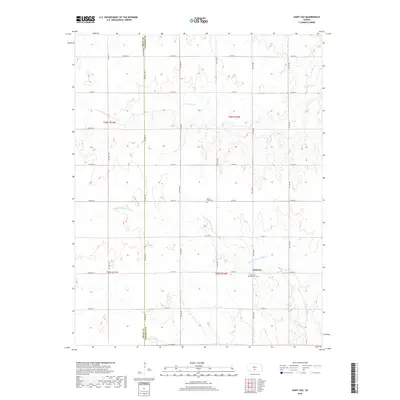
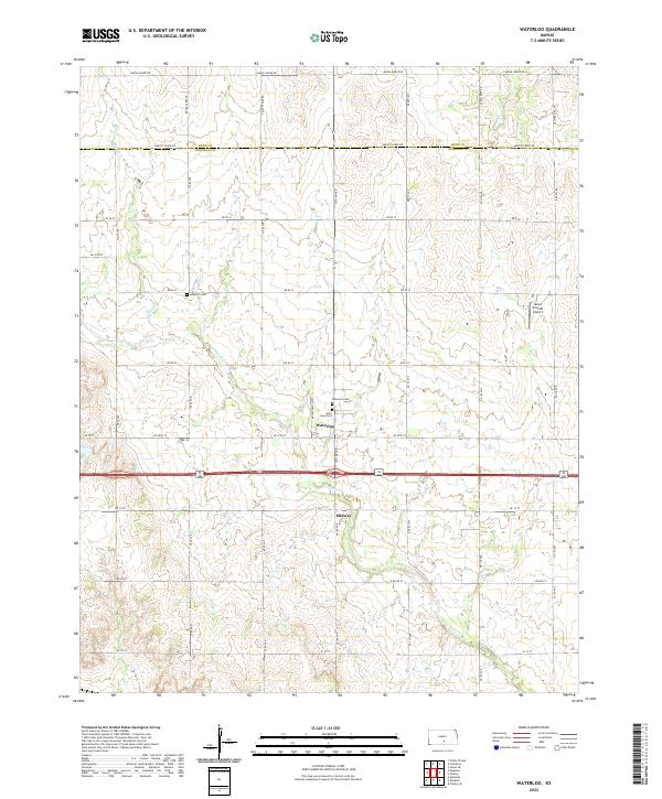
1965 Waterloo
Kingman County, KS
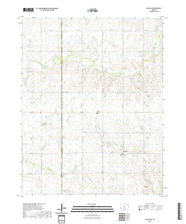
1966 St Leo
Kingman County, KS

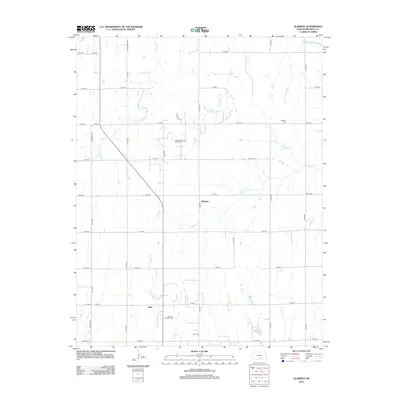
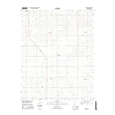
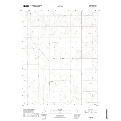
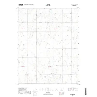
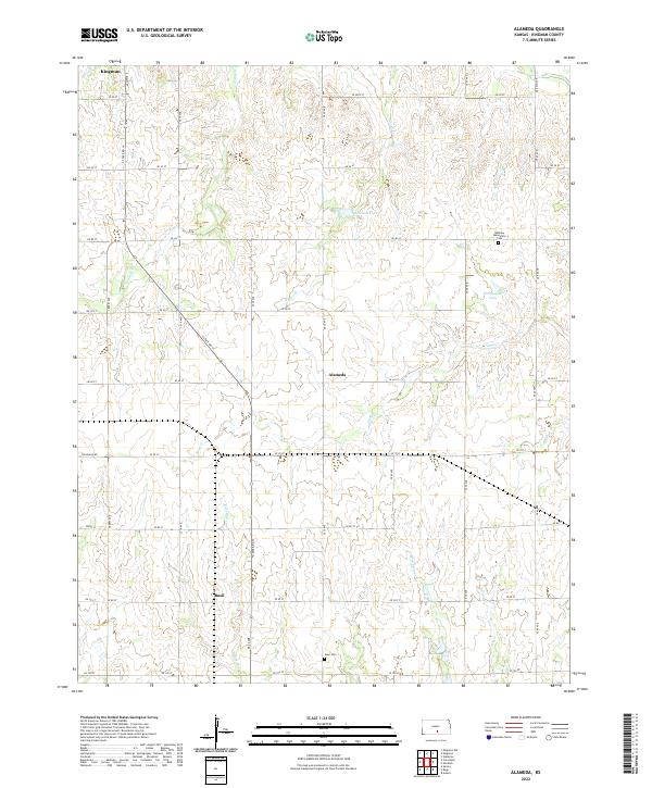
1967 Alameda
Kingman County, KS
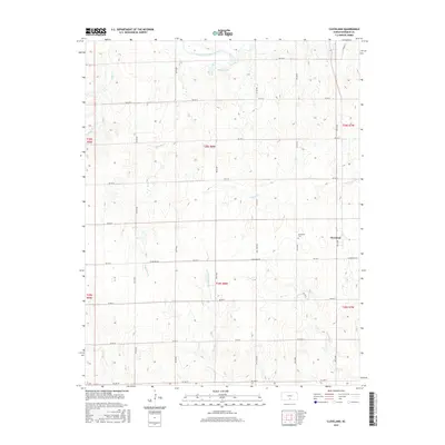
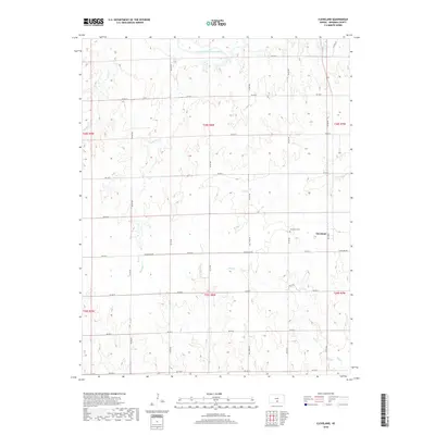
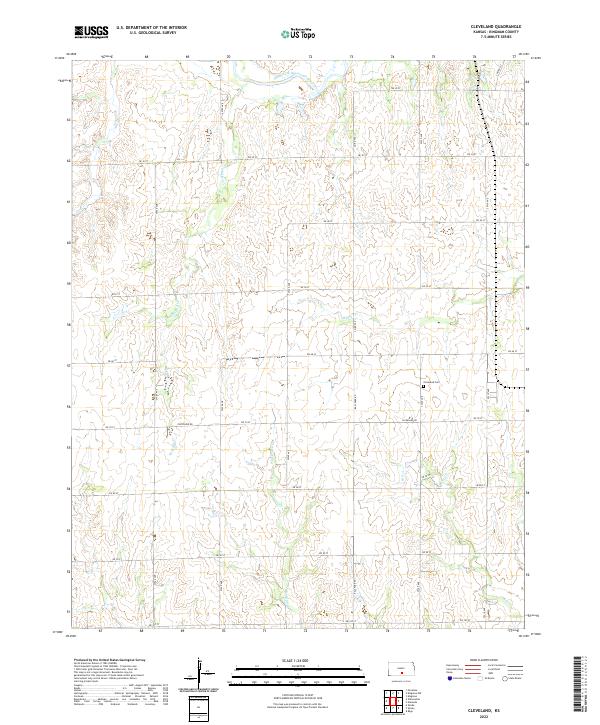
1967 Cleveland
Kingman County, KS
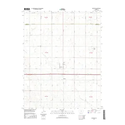
1967 Kingman NW
Kingman County, KS
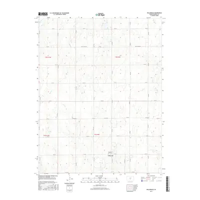
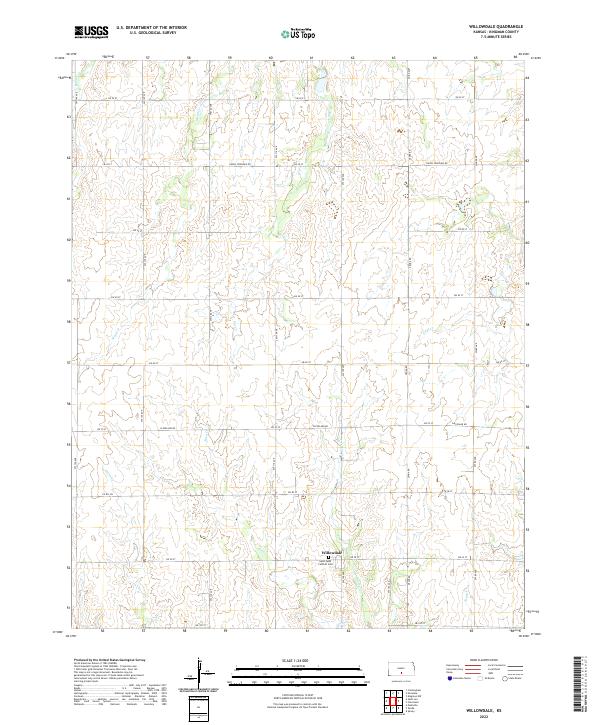
1967 Willowdale
Kingman County, KS
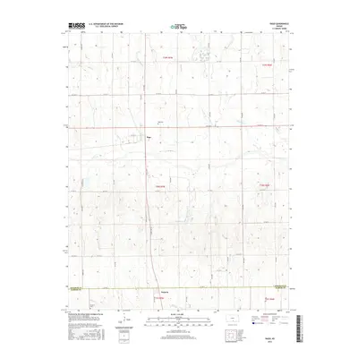
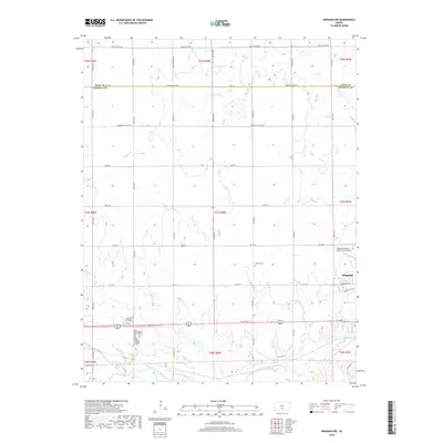
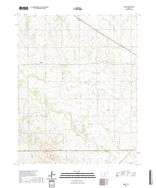
1971 Adams
Kingman County, KS
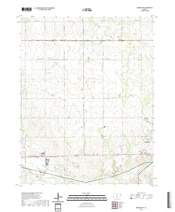
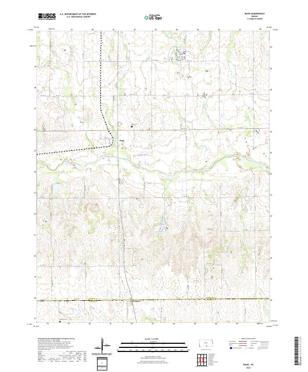
1973 Rago
Kingman County, KS
2009 Alameda
Kingman County, KS
2009 Cheney SE
Kingman County, KS
2009 Cleveland
Kingman County, KS
2009 Kingman NW
Kingman County, KS
2009 Saint Leo
Kingman County, KS
2009 Waterloo
Kingman County, KS
2009 Willowdale
Kingman County, KS
2010 Adams
Kingman County, KS
2010 Rago
Kingman County, KS
2012 Adams
Kingman County, KS
2012 Alameda
Kingman County, KS
2012 Cheney SE
Kingman County, KS
2012 Cleveland
Kingman County, KS
2012 Kingman NW
Kingman County, KS
2012 Rago
Kingman County, KS
2012 Saint Leo
Kingman County, KS
2012 Waterloo
Kingman County, KS
2012 Willowdale
Kingman County, KS
2015 Adams
Kingman County, KS
2015 Cheney SE
Kingman County, KS
2015 Kingman NW
Kingman County, KS
2015 Saint Leo
Kingman County, KS
2015 Waterloo
Kingman County, KS
2015 Willowdale
Kingman County, KS
2016 Alameda
Kingman County, KS
2016 Cleveland
Kingman County, KS
2016 Rago
Kingman County, KS
2018 Adams
Kingman County, KS
2018 Alameda
Kingman County, KS
2018 Cheney SE
Kingman County, KS
2018 Cleveland
Kingman County, KS
2018 Kingman NW
Kingman County, KS
2018 Rago
Kingman County, KS
2018 Saint Leo
Kingman County, KS
2018 Waterloo
Kingman County, KS
2018 Willowdale
Kingman County, KS
2022 Adams
Kingman County, KS
2022 Alameda
Kingman County, KS
2022 Cheney SE
Kingman County, KS
2022 Cleveland
Kingman County, KS
2022 Kingman NW
Kingman County, KS
2022 Rago
Kingman County, KS
2022 Saint Leo
Kingman County, KS
2022 Waterloo
Kingman County, KS
2022 Willowdale
Kingman County, KS