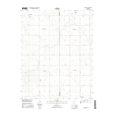
2015 Map of Cheney SE
USGS Topo · Published 2015About this map
The South Fork Ninnescah River meanders across this landscape south of Cheney, defining the transition between the agricultural uplands of Sedgwick and Kingman counties. The township layout is structured by a rigid grid of country roads, including Mac Arthur Rd and Co Rd 364, which link the small settlements of Suppesville and Lansdowne. Genealogists will find significant value in the documentation of local burial grounds such as Mount Pleasant Cem, Fairview Cem, and Vinita Cem, which serve as anchors for the rural community.
Find a feature on this map
37 named features on this map. Tap any name to fly to it.
Don’t see what you’re looking for? This feature index may not catch every label — zoom into the map to look around manually.
Map Details
Editions of this 2015 Cheney SE Map
This is the sole edition of this map. No revisions or reprints were ever made.
Other maps of this area

1889 · Cheney
USGS Topo · 1:125,000

1889 · Caldwell
USGS Topo · 1:125,000

1891 · Cheney
USGS Topo · 1:125,000

1893 · Caldwell
USGS Topo · 1:125,000

1897 · Caldwell
USGS Topo · 1:125,000

1901 · Cheney
USGS Topo · 1:125,000

1955 · Wichita
USGS Topo · 1:250,000

1958 · Wichita
USGS Topo · 1:250,000

1964 · Cheney
USGS Topo · 1:24,000

1965 · Garden Plain
USGS Topo · 1:24,000