2000s (21st Century) Maps of Viola Township, Kansas
Explore 20 historic maps of Viola Township from the 2000s (21st Century). These maps offer a rare glimpse into what life looked like during the 2000s — showing old roads, neighborhoods, homes, and landmarks that have changed or disappeared over time.
Whether you're researching your family's past, planning a metal detecting trip, or studying how Viola Township's landscape evolved across the 2000s, these high-resolution maps are a powerful tool for exploring the history of this region.
- Focus on a specific era: All maps on this page are from the 2000s, giving you a focused view of this time period.
- See what’s changed: Compare century-old streets, trails, and buildings to today's modern landscape using overlays and satellite layers.
- Research with precision: Use these maps for genealogy, historical research, land use analysis, or educational projects.
- View, download, or print: Maps are fully viewable online in high resolution, and can be downloaded or printed for your own records.
Start exploring Viola Township's history through authentic maps from the 2000s. This is your window into the past.
Viola Township, KS maps
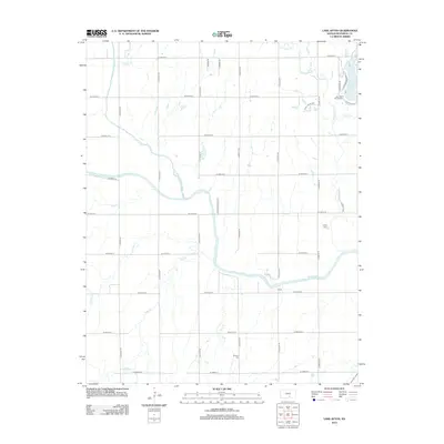
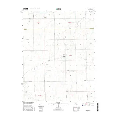
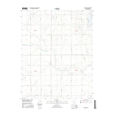
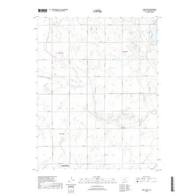
(20)- 2009 Map of Lake Afton, 2009 Print
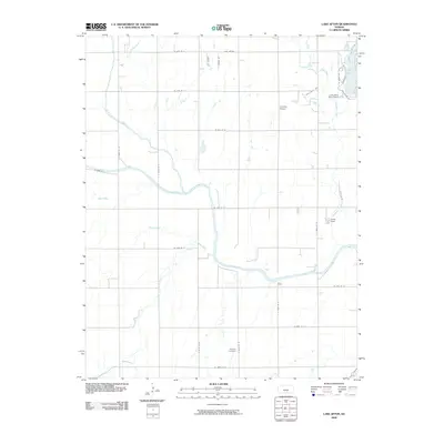 2009 Lake Afton2009 Print · USGSCovers Viola Township, including Wichita, Morton Township, and other nearby areas
 - 2009 Map of Clearwater, 2009 Print
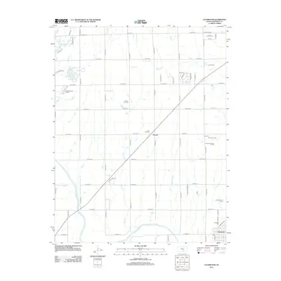
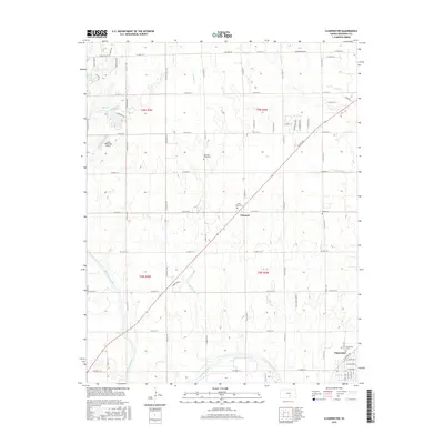
 2009 Clearwater2009 Print · USGSCovers Viola Township, including Clearwater, Illinois Township, and other nearby areas
 - 2010 Map of Millerton, 2010 Print
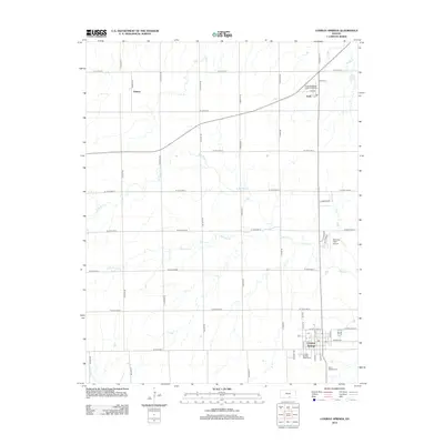
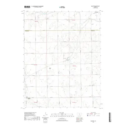
 2010 Millerton2010 Print · USGSCovers Viola Township, including Clearwater, Conway Springs, and other nearby areas
 - 2010 Map of Conway Springs, 2010 Print
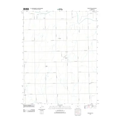
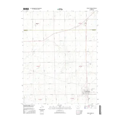
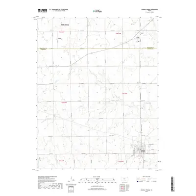
 2010 Conway Springs2010 Print · USGSCovers Viola Township, including Wichita, Conway Springs, and other nearby areas
 - 2012 Map of Clearwater, 2012 Print
 2012 Clearwater2012 Print · USGSCovers Viola Township, including Clearwater, Illinois Township, and other nearby areas
 - 2012 Map of Millerton, 2012 Print
 2012 Millerton2012 Print · USGSCovers Viola Township, including Clearwater, Conway Springs, and other nearby areas
 - 2012 Map of Lake Afton, 2012 Print
 2012 Lake Afton2012 Print · USGSCovers Viola Township, including Wichita, Morton Township, and other nearby areas
 - 2012 Map of Conway Springs, 2012 Print
 2012 Conway Springs2012 Print · USGSCovers Viola Township, including Wichita, Conway Springs, and other nearby areas
 - 2015 Map of Millerton, 2015 Print
 2015 Millerton2015 Print · USGSCovers Viola Township, including Clearwater, Conway Springs, and other nearby areas
 - 2015 Map of Lake Afton, 2015 Print
 2015 Lake Afton2015 Print · USGSCovers Viola Township, including Wichita, Morton Township, and other nearby areas
 - 2015 Map of Conway Springs, 2015 Print
 2015 Conway Springs2015 Print · USGSCovers Viola Township, including Wichita, Conway Springs, and other nearby areas
 - 2015 Map of Clearwater, 2015 Print
 2015 Clearwater2015 Print · USGSCovers Viola Township, including Clearwater, Illinois Township, and other nearby areas
 - 2018 Map of Millerton, 2018 Print
 2018 Millerton2018 Print · USGSCovers Viola Township, including Clearwater, Conway Springs, and other nearby areas
 - 2018 Map of Conway Springs, 2018 Print
 2018 Conway Springs2018 Print · USGSCovers Viola Township, including Wichita, Conway Springs, and other nearby areas
 - 2018 Map of Lake Afton, 2018 Print
 2018 Lake Afton2018 Print · USGSCovers Viola Township, including Wichita, Morton Township, and other nearby areas
 - 2018 Map of Clearwater, 2018 Print
 2018 Clearwater2018 Print · USGSCovers Viola Township, including Clearwater, Illinois Township, and other nearby areas
 - 2022 Map of Clearwater, 2022 Print
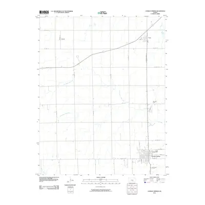
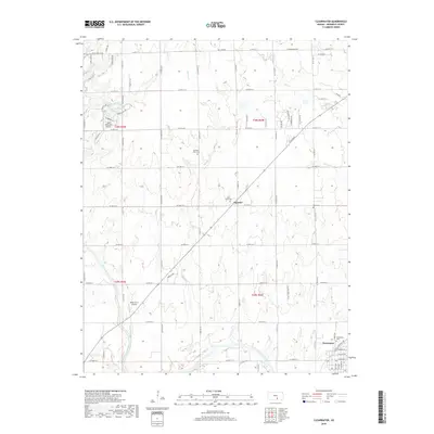
 2022 Clearwater2022 Print · USGSThe Ninnescah River valley and the town of Clearwater are captured in this modern survey of Sedgwick County. Family historians can trace local landmarks like Old Saint Johns Cem and the settlement at Clonmel.
 - 2022 Map of Conway Springs, 2022 Print
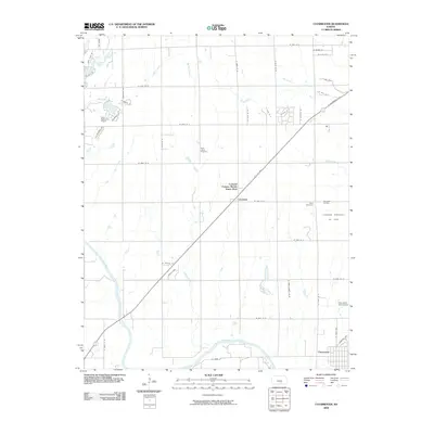
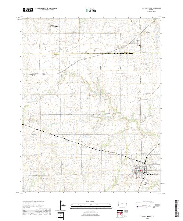 2022 Conway Springs2022 Print · USGSSumner and Sedgwick counties come into focus in the early twenty-first century, centered on the historic town site of Conway Springs. Local researchers can trace family landmarks like Viola Cemetery and Saint Josephs Cemetery or the rural reaches of Slate Creek.
 - 2022 Map of Lake Afton, 2022 Print
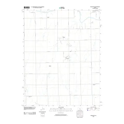
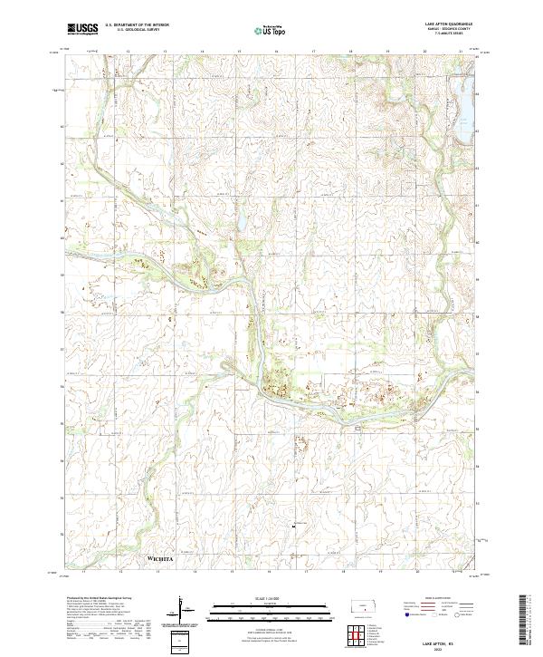 2022 Lake Afton2022 Print · USGSCovers Viola Township, including Wichita, Afton Township, and other nearby areas
 - 2022 Map of Millerton, 2022 Print
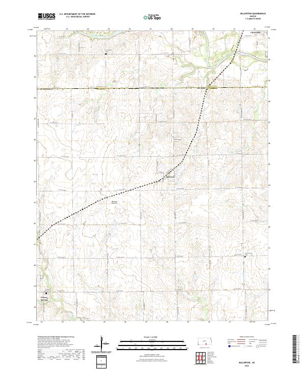 2022 Millerton2022 Print · USGSSumner County at the dawn of the 2020s remains a landscape of vast agricultural grids and quiet rural settlements. Researchers can trace family history through local burial grounds like Harrington Cem and Greencastle Cem along the Ninnescah River valley.
End of results
Showing maps 1-20 of 20
Top cities near Viola Township
- Wichita historical maps
- Wellington historical maps
- Goddard historical maps
- Maize historical maps
- Clearwater historical maps
- Cheney historical maps
See more
Top neighborhoods of Viola Township
Frequently asked questions
- What are the different types of historical maps available for Viola Township?
- What is the oldest map of Viola Township?
- Where can I purchase historical maps of Viola Township for my home or office?
- Where can I download high-res historical maps of Viola Township?
- Are there historical topographic maps available for Viola Township?
- Is there historical aerial imagery available for Viola Township?
- Where are historical maps of Viola Township sourced from?