2020s Maps of Sherman County, Kansas
Explore 24 historic maps of Sherman County from the 2020s. These maps offer a rare glimpse into what life looked like during the 2020s — showing old roads, neighborhoods, homes, and landmarks that have changed or disappeared over time.
Whether you're researching your family's past, planning a metal detecting trip, or studying how Sherman County's landscape evolved across the 2020s, these high-resolution maps are a powerful tool for exploring the history of this region.
- Focus on a specific era: All maps on this page are from the 2020s, giving you a focused view of this time period.
- See what’s changed: Compare century-old streets, trails, and buildings to today's modern landscape using overlays and satellite layers.
- Research with precision: Use these maps for genealogy, historical research, land use analysis, or educational projects.
- View, download, or print: Maps are fully viewable online in high resolution, and can be downloaded or printed for your own records.
Start exploring Sherman County's history through authentic maps from the 2020s. This is your window into the past.
Sherman County, KS maps
(24)- 2022 Map of Kanorado NE, 2022 Print
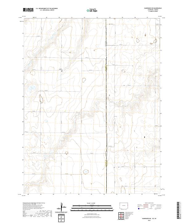 2022 Kanorado NE2022 Print · USGSThe High Plains along the state border come into focus in this recent survey of the rural landscape. Genealogists and local historians can locate Beaver Valley Cem and trace the drainage of Little Beaver Cr near CO RD 57.
 - 2022 Map of Mount Sunflower NE, 2022 Print
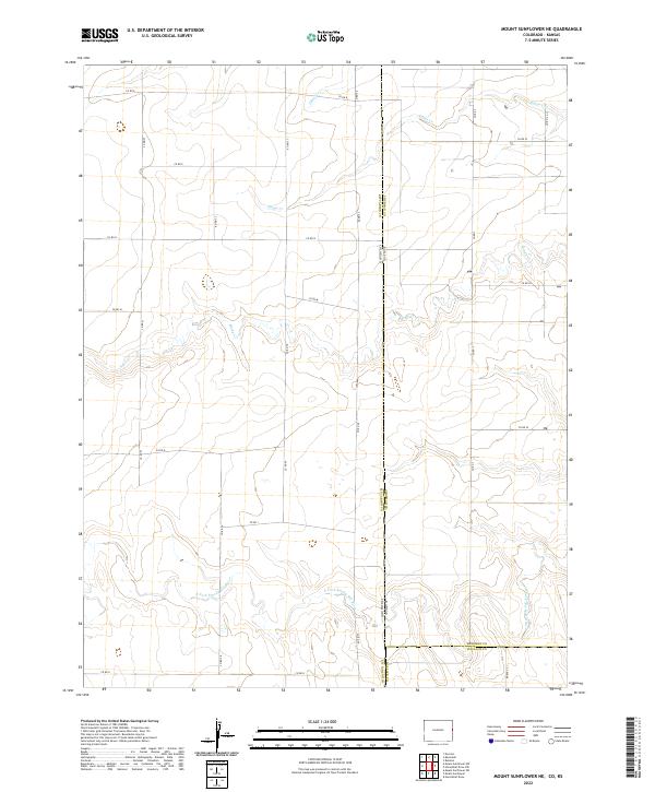 2022 Mount Sunflower NE2022 Print · USGSThe high plains border where Colorado and Kansas meet are captured here as they appeared in 2022. Researchers can trace the path of the N Fork Smoky Hill River and map out rural transport routes like CO RD 57 and RD WA S-3.
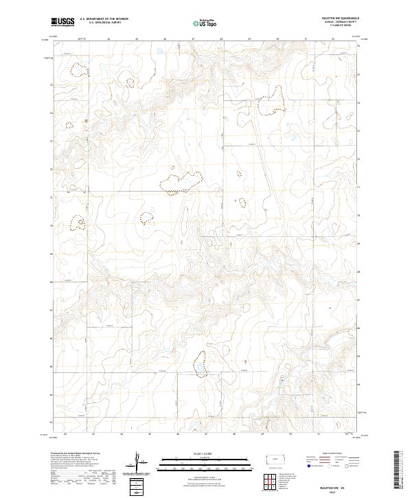
 - 2022 Map of Ruleton NE, 2022 Print
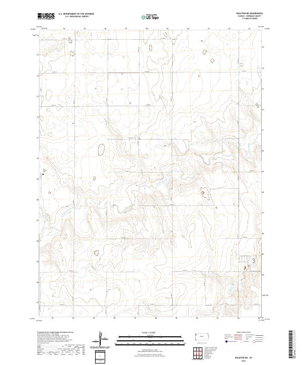 2022 Ruleton NE2022 Print · USGSSherman County remains a landscape of high prairie and disciplined section lines in the early twenty-first century. Genealogists and local historians can locate New Liberty Cem and trace the drainage paths of Middle Beaver Cr and S Beaver Cr.
 - 2022 Map of Dewey Ranch SW, 2022 Print
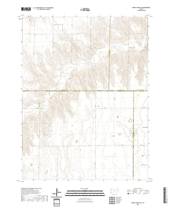 2022 Dewey Ranch SW2022 Print · USGSThe high plains of Northwest Kansas are shown in this contemporary study of the intersecting corners of Sherman, Rawlins, Cheyenne, and Thomas counties. Researchers can trace the path of Beaver Cr and the grid of section-line roads like CO RD 80 and CO RD D.
 - 2022 Map of Harris Draw NE, 2022 Print
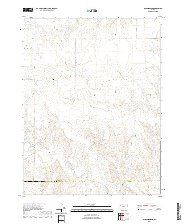 2022 Harris Draw NE2022 Print · USGSHigh plains ranching and farming country along the Sherman and Wallace county line comes into focus in this recent survey. Researchers can locate the Mennonite Cem and trace the drainage of the N Fork Smoky Hill River and Sand Cr.
 - 2022 Map of Goodland NW, 2022 Print
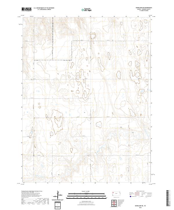
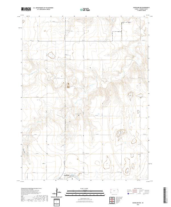 2022 Goodland NW2022 Print · USGSSherman County in the early twenty-first century reveals the enduring grid of the High Plains north of the county seat. Genealogists and local historians can locate Harmony Cem and trace the drainage of Middle Beaver Cr and S Beaver Cr.
 - 2022 Map of McAllaster NW, 2022 Print
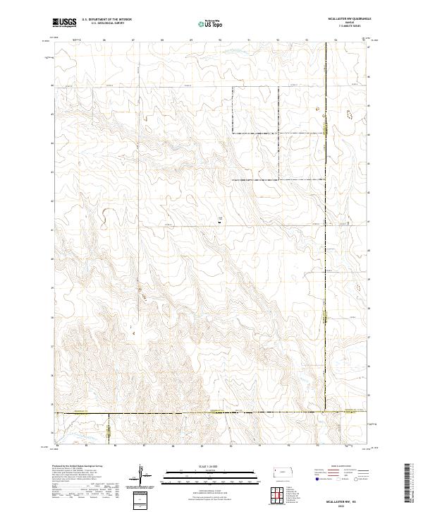 2022 McAllaster NW2022 Print · USGSSherman County and its neighboring borders are documented in this recent survey, showcasing the remote plains of western Kansas. Genealogists and researchers can locate the Lava Cem and trace the headwaters of the S Fork Solomon River and Sand Cr.
 - 2022 Map of South of Drury Creek, 2022 Print
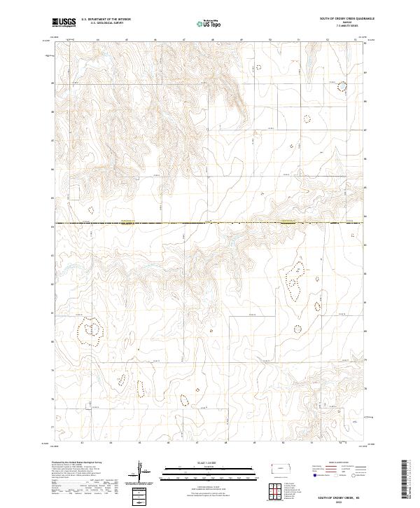
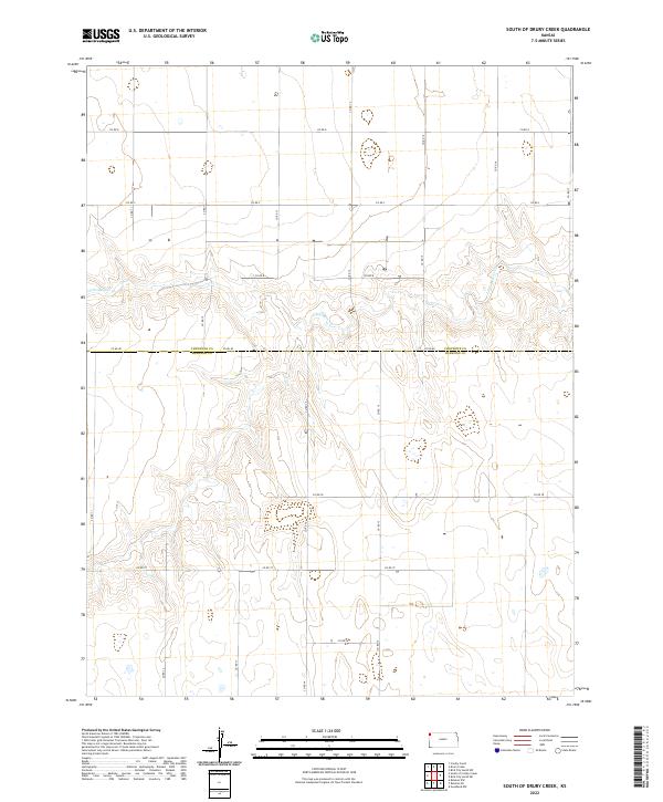 2022 South of Drury Creek2022 Print · USGSSherman County at the turn of the decade is defined by its expansive agricultural grid and seasonal waterways. Genealogists and researchers can trace the section-line roads of the High Plains, from CO RD 80 to the banks of Little Beaver Cr.
 - 2022 Map of Wild Horse Draw, 2022 Print
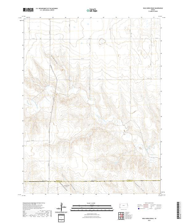 2022 Wild Horse Draw2022 Print · USGSSherman County and Wallace County rangelands are documented here in the early twenty-first century, showing where the High Plains break into river canyons. Trace family lands and rural infrastructure near Bellamy Farm Airport, Kolacny Canyon, and the N Fork Smoky Hill River.
 - 2022 Map of Ruleton NW, 2022 Print
 2022 Ruleton NW2022 Print · USGSSherman County in the early twenty-first century reveals a landscape defined by the geometric precision of the High Plains. Researchers can trace the path of Middle Beaver Cr and the rural network of section roads like CO RD 75 and CO RD 67.
 - 2022 Map of Bird City South SW, 2022 Print
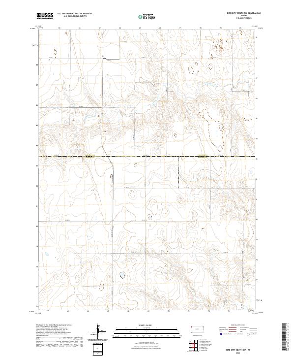 2022 Bird City South SW2022 Print · USGSSherman and Cheyenne counties are shown in the early 2020s, revealing the precise geometric order of the Kansas High Plains. Researchers can trace land divisions and rural infrastructure along Little Beaver Cr and major routes like Commerce Rd.
 - 2022 Map of Goodland NE, 2022 Print
 2022 Goodland NE2022 Print · USGSSherman County agriculture and its rigid township grid define this high-plains landscape in the early twenty-first century. Genealogists and local historians can trace modern land divisions and rural routes like Mosbarger Rd near the Middle Fork Sappa Cr.
 - 2022 Map of Edson, 2022 Print
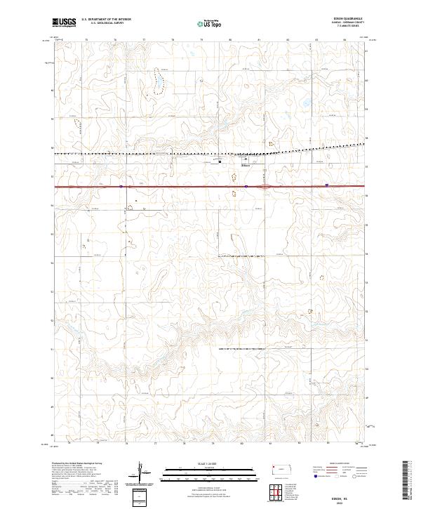 2022 Edson2022 Print · USGSSherman County agriculture and transportation meet at the settlement of Edson during the early twenty-first century. Researchers can trace local lineage at the Edson Cem or follow the natural drainage of the S Fork Sappa Cr across the plains.
 - 2022 Map of Ruleton, 2022 Print
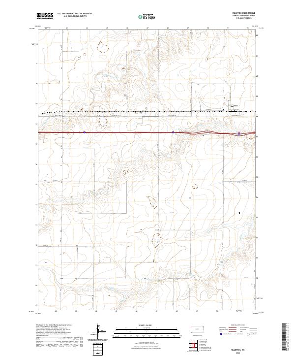 2022 Ruleton2022 Print · USGSSherman County agriculture and high plains drainage systems define this western Kansas landscape in the early 2020s. Researchers can trace the original route of Old US Hwy 24 and local landmarks like Ruleton near the headwaters of Sappa Cr.
 - 2022 Map of Bonny Reservoir SE, 2022 Print
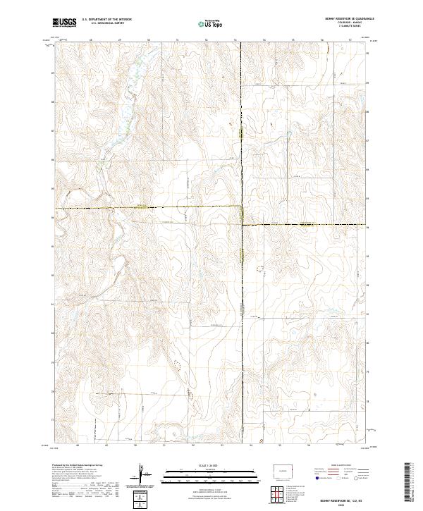 2022 Bonny Reservoir SE2022 Print · USGSThe Colorado-Kansas borderlands come into focus in this contemporary survey of the high plains. Researchers can trace the intersection of four counties and follow the drainages of Bonny Creek, Little Beaver Creek, and Battle Creek across the section-line grid.
 - 2022 Map of Ruleton SE, 2022 Print
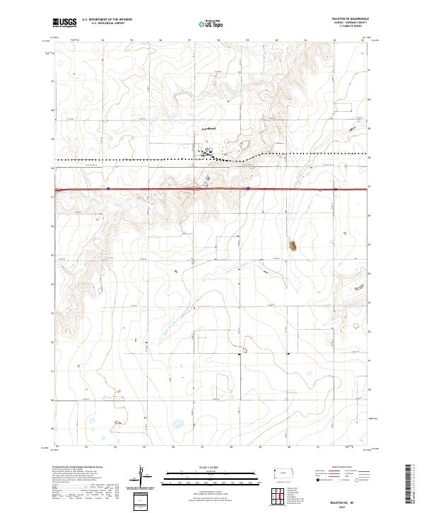 2022 Ruleton SE2022 Print · USGSSherman County at the start of the twenty-twenties shows a landscape of steady agricultural life and vital transport corridors. Genealogists and local historians can trace the rural road grid around Caruso and the branching waters of Middle Fork Sappa Cr.
 - 2022 Map of Horsethief Draw NE, 2022 Print
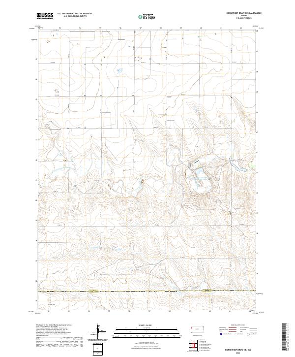 2022 Horsethief Draw NE2022 Print · USGSWestern Kansas at the turn of the 2020s remains a landscape of vast section lines and hidden watercourses. Genealogists and local historians can locate Fairview Cem and trace the winding path of the N Fork Smoky Hill River past Sherman County State Lake.
 - 2022 Map of Brewster NW, 2022 Print
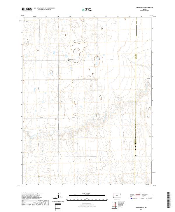 2022 Brewster NW2022 Print · USGSNorthwestern Kansas farmland along the Sherman and Thomas County line appears here in its modern agricultural layout. Genealogists and local historians can locate Freeland Cem and trace the meandering path of Middle Fork Sappa Cr through the prairie.
 - 2022 Map of Horsethief Draw NW, 2022 Print
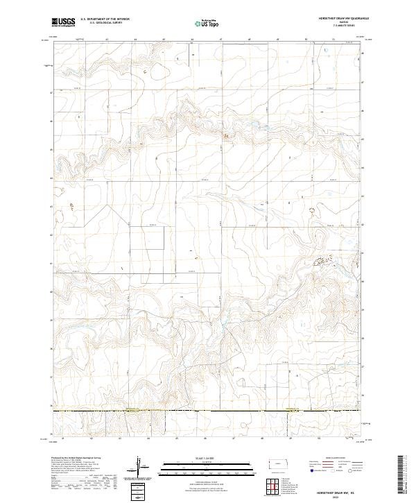 2022 Horsethief Draw NW2022 Print · USGSSherman County at the turn of the 2020s reveals the enduring cattle and grain landscape where the N Fork Smoky Hill River meets the prairie. Genealogists and historians can trace old property boundaries along the Sherman Co Wallace Co line and follow the seasonal flows of Sappa Cr and Turtle Cr.
 - 2022 Map of Goodland, 2022 Print
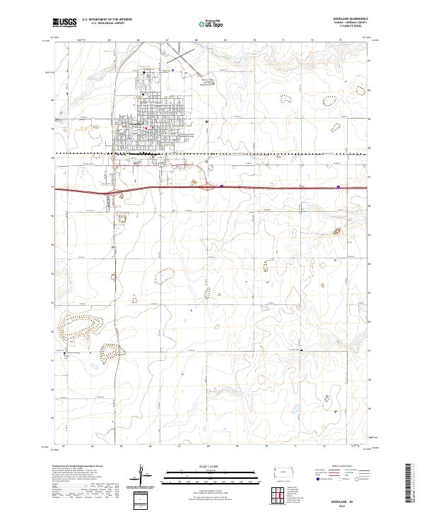 2022 Goodland2022 Print · USGSGoodland stands as a resilient High Plains center in the early twenty-first century, anchored by its historic county seat and regional college. Researchers can trace local lineage through Goodland Cemetery or locate the Sherman County Courthouse and Whistler Cemetery.
 - 2022 Map of South of Crosby Creek, 2022 Print
 2022 South of Crosby Creek2022 Print · USGSIn the open prairies of the Kansas borderlands, this survey captures the intersection of Sherman and Cheyenne counties as it appeared in 2022. Researchers can trace the winding course of Little Beaver Cr and the rural road network including Co Rd 80 and Co Rd 78.
 - 2022 Map of Bird City South SE, 2022 Print
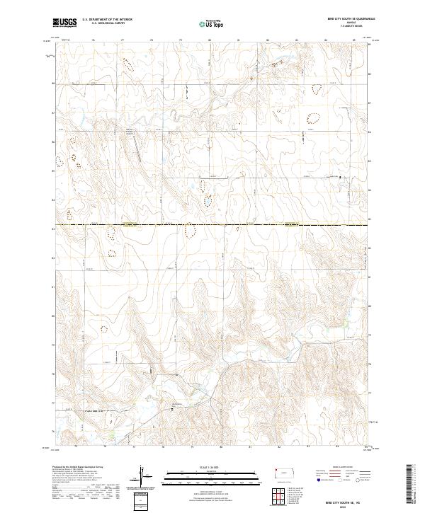 2022 Bird City South SE2022 Print · USGSThe High Plains along the Cheyenne and Sherman county line are captured here in the early twenty-first century. Genealogists and local historians can locate rural landmarks such as Sunnyside Cem, Shermanville Cem, and the Bursch Private Airport.
 - 2022 Map of Brewster, 2022 Print
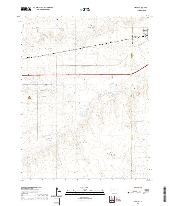 2022 Brewster2022 Print · USGSThe High Plains of western Kansas are documented here in the early twenty-first century, centered on the settlement of Brewster. Researchers can trace county-line histories and local burials at Brewster Cem, Hollenbeck Cem, and the banks of South Fork Sappa Creek.
 - 2022 Map of Kanorado, 2022 Print
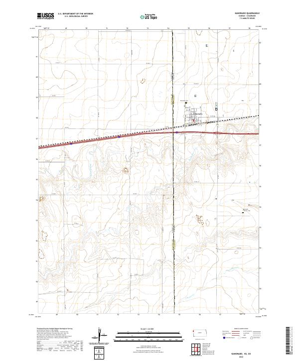 2022 Kanorado2022 Print · USGSThe border town of Kanorado is captured at the Kansas-Colorado line during its modern era of transit and agriculture. Genealogists and researchers can locate Kanorado Cem, the Kanorado Catholic Cem, and the historic route of Old Us Hwy 24.
End of results
Showing maps 1-24 of 24
Top cities of Sherman County
Frequently asked questions
- What are the different types of historical maps available for Sherman County?
- What is the oldest map of Sherman County?
- Where can I purchase historical maps of Sherman County for my home or office?
- Where can I download high-res historical maps of Sherman County?
- Are there historical topographic maps available for Sherman County?
- Is there historical aerial imagery available for Sherman County?
- Where are historical maps of Sherman County sourced from?