2020s Maps of Smith County, Kansas
Explore 25 historic maps of Smith County from the 2020s. These maps offer a rare glimpse into what life looked like during the 2020s — showing old roads, neighborhoods, homes, and landmarks that have changed or disappeared over time.
Whether you're researching your family's past, planning a metal detecting trip, or studying how Smith County's landscape evolved across the 2020s, these high-resolution maps are a powerful tool for exploring the history of this region.
- Focus on a specific era: All maps on this page are from the 2020s, giving you a focused view of this time period.
- See what’s changed: Compare century-old streets, trails, and buildings to today's modern landscape using overlays and satellite layers.
- Research with precision: Use these maps for genealogy, historical research, land use analysis, or educational projects.
- View, download, or print: Maps are fully viewable online in high resolution, and can be downloaded or printed for your own records.
Start exploring Smith County's history through authentic maps from the 2020s. This is your window into the past.
Smith County, KS maps
(25)- 2021 Map of Franklin, 2021 Print
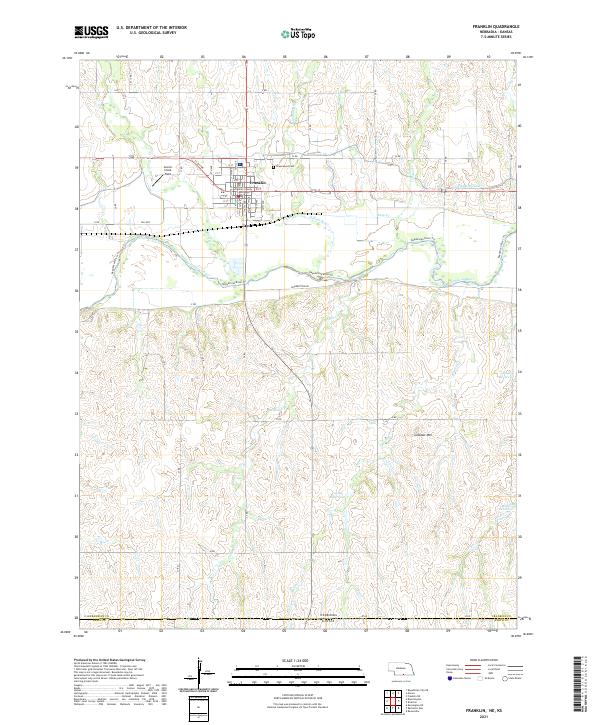 2021 Franklin2021 Print · USGSThe Republican River valley in southern Nebraska is captured here in modern detail, centered on the historic county seat of Franklin. Genealogists and historians can trace the town grid from the Franklin County Courthouse to Greenwood Cem and the surrounding reservoirs.
 - 2021 Map of Red Cloud, 2021 Print
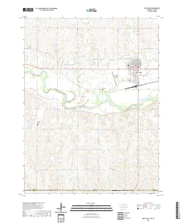 2021 Red Cloud2021 Print · USGSRed Cloud and the surrounding Republican River valley are documented here during the early twenty-first century. Researchers can locate the Webster County Courthouse, the Red Cloud Municipal Airport, and several family-named landmarks like Gust Cem and Twin Oaks Reservoir.
 - 2021 Map of Riverton, 2021 Print
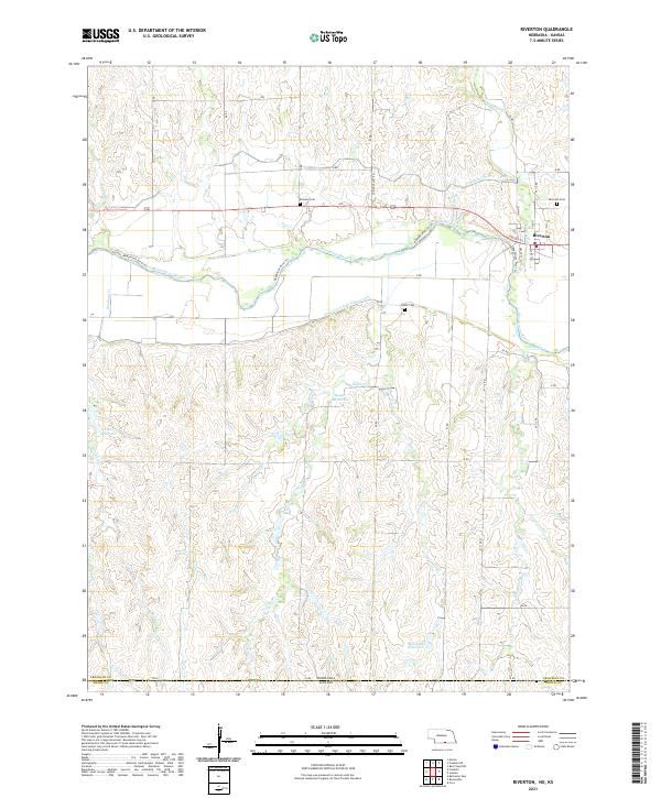 2021 Riverton2021 Print · USGSRiverton and the surrounding Republican River valley appear in detail at the turn of the decade. Genealogists and local historians can locate rural burial grounds like Stevens Cem and Fuller Cem, while tracing the vital irrigation routes of the Franklin Canal.
 - 2021 Map of Inavale, 2021 Print
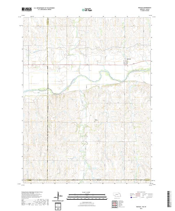 2021 Inavale2021 Print · USGSSouthern Nebraska at the Kansas border shows a landscape shaped by the Republican River and agricultural water management. Researchers can locate the Walnut Creek Cem and trace the path of the Franklin Canal near Inavale.
 - 2021 Map of Bloomington, 2021 Print
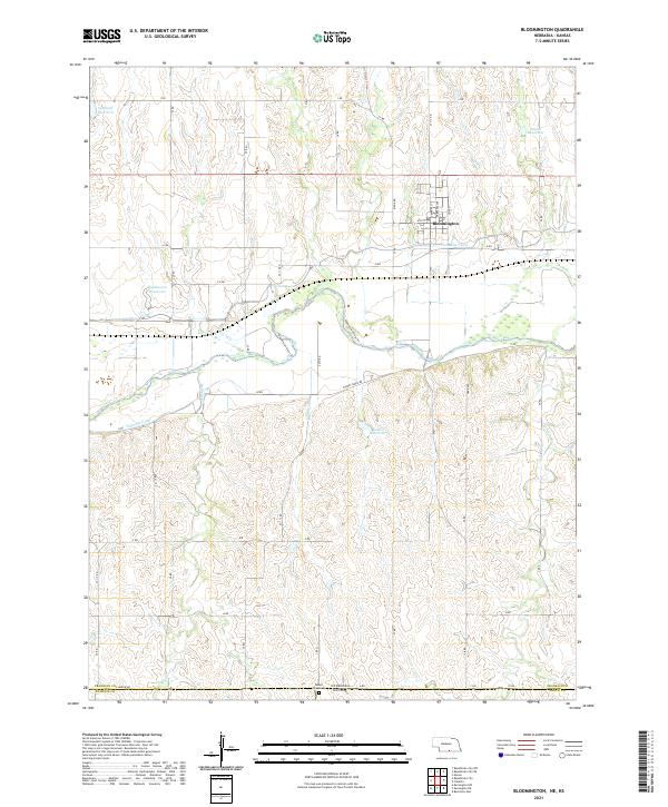 2021 Bloomington2021 Print · USGSFranklin County's irrigation and river landscape are captured in the early 2020s, showing the town of Bloomington and its surrounding agricultural tracts. Trace water management through the Franklin Canal and locate family history at Mount Olive Cem.
 - 2022 Map of Portis, 2022 Print
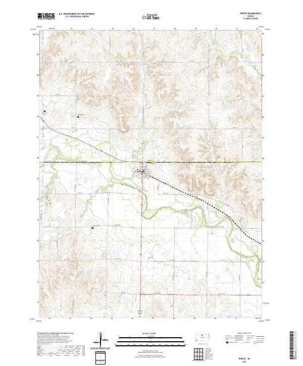 2022 Portis2022 Print · USGSThe North Fork Solomon River valley and the town of Portis appear here in their modern rural context. Genealogists can trace early homestead ties through the presence of Fairview Cem, Garrett Cem, and Hammond Cem.
 - 2022 Map of Portis NE, 2022 Print
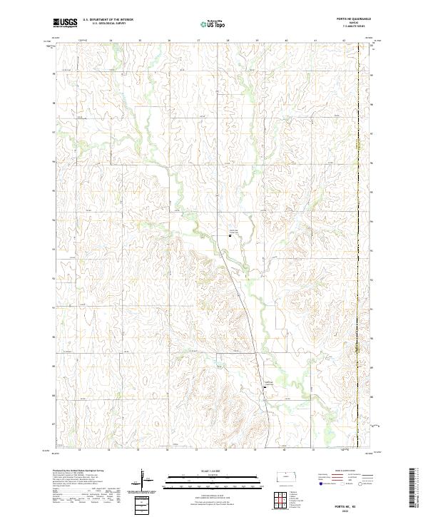 2022 Portis NE2022 Print · USGSNorthern Smith County is documented here in the early twenty-first century, showing a landscape defined by the deep valleys of Oak Cr. Genealogists and local historians can locate family burial sites at North Oak Creek Cem and South Oak Creek Cem.
 - 2022 Map of Athol, 2022 Print
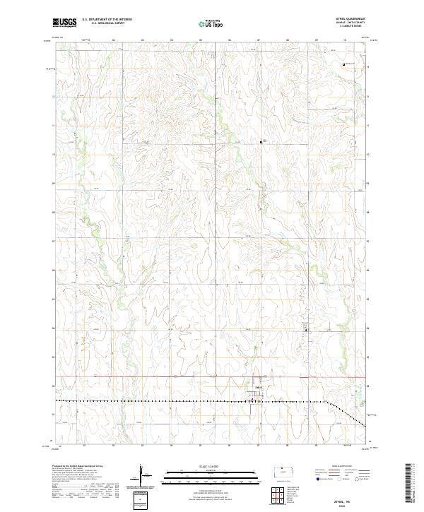 2022 Athol2022 Print · USGSAthol and its surrounding farmstead reaches in Smith County appear here in the early 2020s, showing a landscape still defined by its traditional survey grid. Genealogists can locate family sites near Meade Cem, Zion Cem, or Pleasant View Cem along the quiet reaches of Cottonwood Cr.
 - 2022 Map of Smith Center, 2022 Print
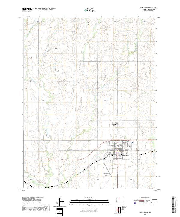 2022 Smith Center2022 Print · USGSSmith Center and its surrounding farm country are captured here in the early twenty-first century. Researchers can locate the Smith County Courthouse and Fairview Cem, or trace the winding courses of Troublesome Cr and Bull Cr.
 - 2022 Map of Bachelors Run, 2022 Print
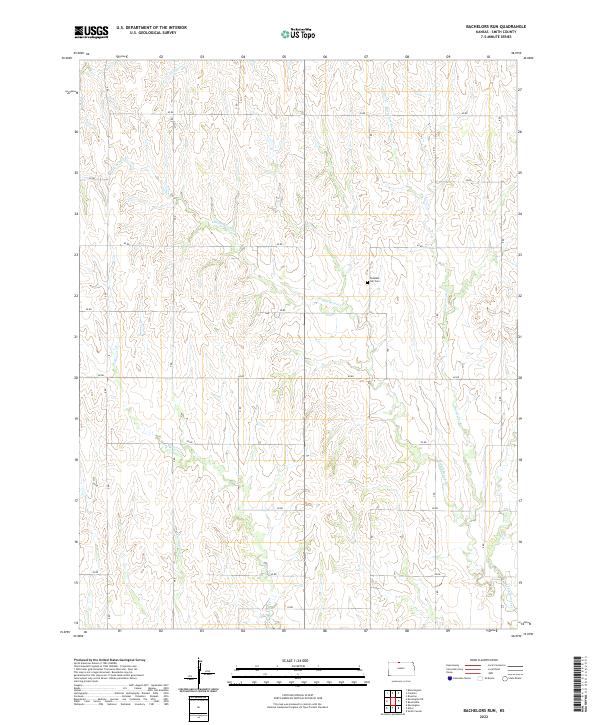 2022 Bachelors Run2022 Print · USGSSmith County, Kansas, is captured in this recent survey of its agrarian landscape and prairie stream systems. Genealogists and local historians can locate Pleasant Hill Cem and trace the paths of Bachelors Run and Middle Beaver Cr.
 - 2022 Map of Harlan, 2022 Print
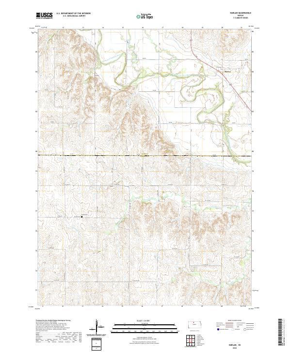 2022 Harlan2022 Print · USGSAgricultural life in Smith and Osborne counties continues along the North Fork Solomon River in this modern record of the plains. Researchers can locate the settlement of Harlan and trace rural family history at the Butler Cem.
 - 2022 Map of Portis NW, 2022 Print
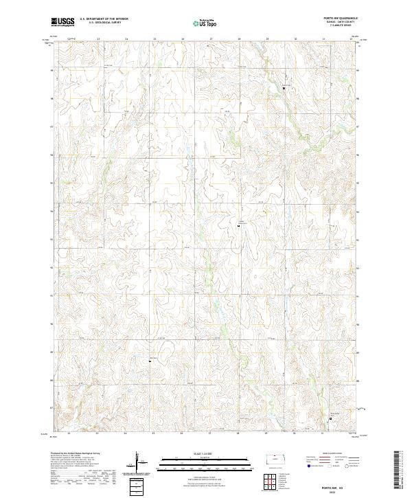 2022 Portis NW2022 Print · USGSSmith County is shown in its contemporary agricultural form, where a precise grid of section roads meets the winding courses of prairie streams. Genealogists can locate family burial sites at Crystal Plains Cem, Bell Cem, and the remote Twelvemile Cem.
 - 2022 Map of McCracken Branch, 2022 Print
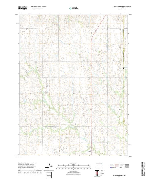 2022 McCracken Branch2022 Print · USGSThe rural border of Smith and Jewell Counties is documented here in the early twenty-first century, showing a landscape of deep creek drainage and section-line roads. Genealogists can locate several remote burial sites such as Webb Hill Cemetery, Salem Cemetery, and Oriole Cemetery.
 - 2022 Map of Cora, 2022 Print
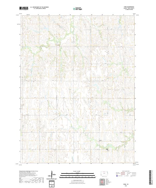 2022 Cora2022 Print · USGSNorthwestern Smith County is shown here in the contemporary era as a quiet agricultural landscape defined by its rural settlements and creek valleys. Researchers can locate the historic Cora and Womer areas, or trace family connections to the Cedar Hill Cem.
 - 2022 Map of Lebanon, 2022 Print
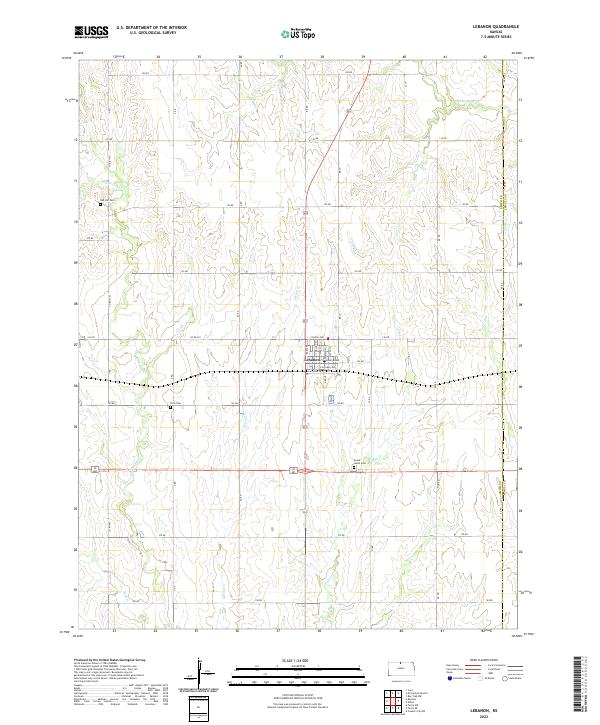 2022 Lebanon2022 Print · USGSLebanon and the surrounding North Central Kansas farm country are captured here in this recent survey. Researchers can locate ancestral plots at Oak Hill Cem or Sweet Home Cem, and trace the winding paths of Middle Oak Cr and White Rock Cr through the township grid.
 - 2022 Map of Cedar, 2022 Print
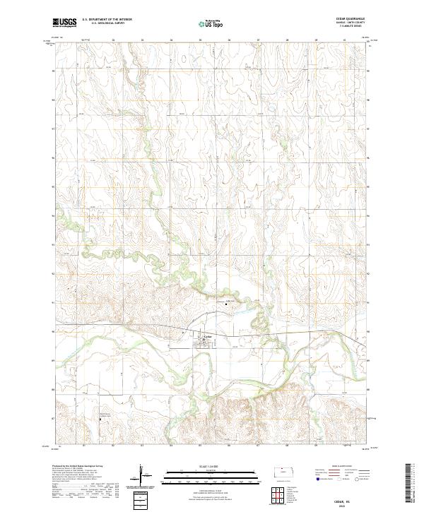 2022 Cedar2022 Print · USGSAgricultural life in Smith County during the 2020s is centered on the river valley near Cedar. Genealogists and researchers can trace local family landmarks like the Saint Francis Catholic Cem and the route of the Kirwin Main Canal.
 - 2022 Map of Kensington, 2022 Print
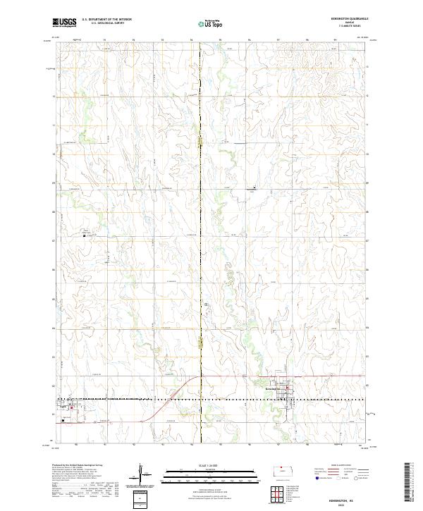 2022 Kensington2022 Print · USGSThe agricultural plains of the Phillips and Smith county border are captured here in the early twenty-first century. Genealogists and local historians can locate rural burial sites like Germantown Cem and West Cedar Cem, while tracing the local street plans of Kensington and Agra.
 - 2022 Map of Downs North, 2022 Print
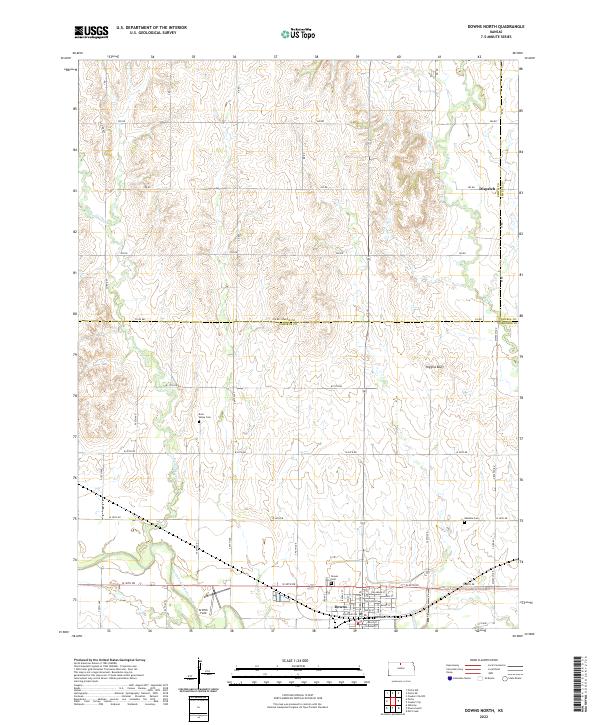 2022 Downs North2022 Print · USGSNorth Central Kansas is documented here in the early twenty-first century as it spans the borders of Smith, Osborne, and Jewell counties. Researchers can locate family sites near Rose Valley Cem, explore the streets of Downs, or trace the winding Twelvemile Cr.
 - 2022 Map of Reamsville, 2022 Print
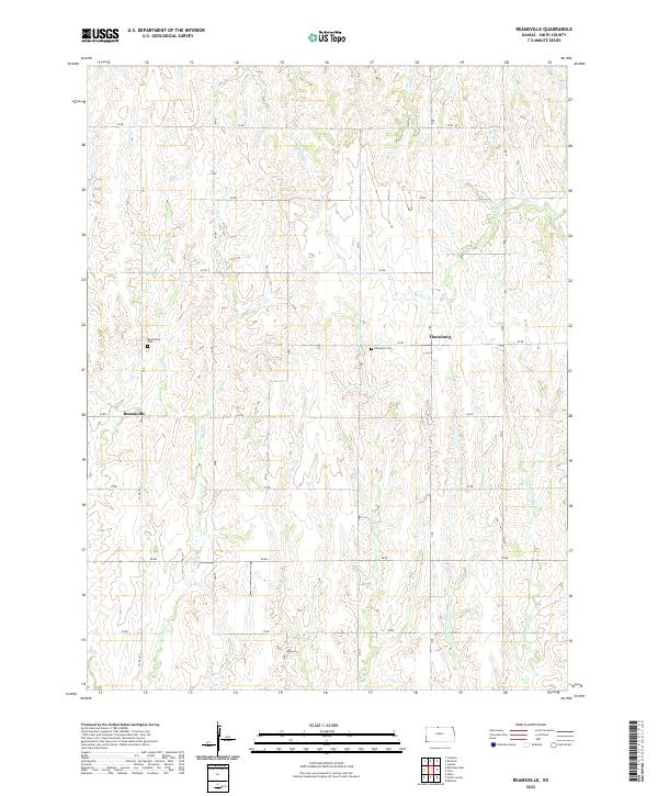 2022 Reamsville2022 Print · USGSIn the northern Kansas plains near the Nebraska border, this 2020s survey captures a landscape of enduring rural settlements and creek-carved topography. Genealogists can locate Reamsville Cem and Eminence Cem or trace the drainage of Iowa Cr and Bull Cr.
 - 2022 Map of Kensington NE, 2022 Print
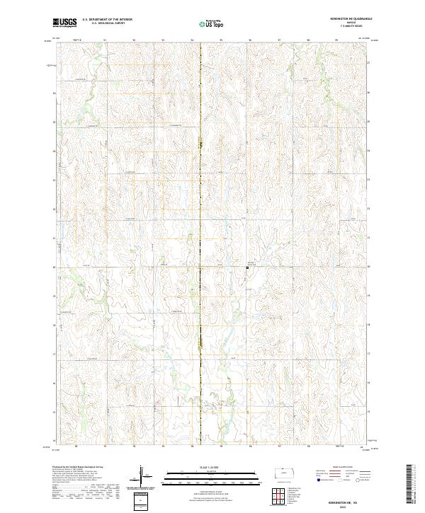 2022 Kensington NE2022 Print · USGSThe Smith and Phillips county line in northern Kansas comes alive on this survey of rural agricultural land and rolling creek valleys. Genealogists and historians can locate Fairview Stone Cem or trace the winding paths of E Middle Cedar Cr and Rebecca Cr.
 - 2022 Map of Gaylord SW, 2022 Print
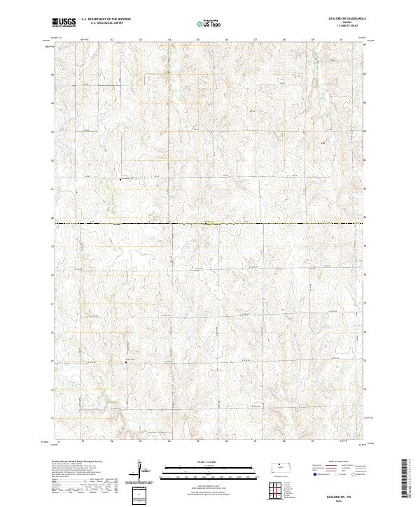 2022 Gaylord SW2022 Print · USGSThe Smith and Osborne County border comes into focus in this recent survey of North Central Kansas farm country. Genealogists and local historians can trace family roots through the sites of Leasburg Cem and Grant Cem along the banks of Glen Rock Cr.
 - 2022 Map of Gaylord, 2022 Print
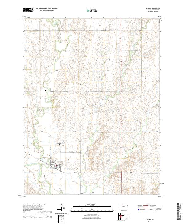 2022 Gaylord2022 Print · USGSSmith County, Kansas, is captured here in the early twenty-first century as a landscape of structured section roads and river valley settlements. Genealogists and local historians can trace family roots near Gaylord and locate Christ Cem or Gaylord Cem.
 - 2022 Map of Bellaire, 2022 Print
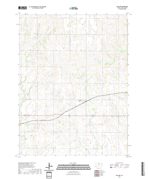 2022 Bellaire2022 Print · USGSSmith County agriculture and the crossroads at Bellaire define this northern Kansas landscape as it appeared in the early twenty-first century. Genealogists can trace property lines and rural routes along Monkey Run and Middle Oak Cr within the historic township of T2S R12W.
 - 2022 Map of Kirwin, 2022 Print
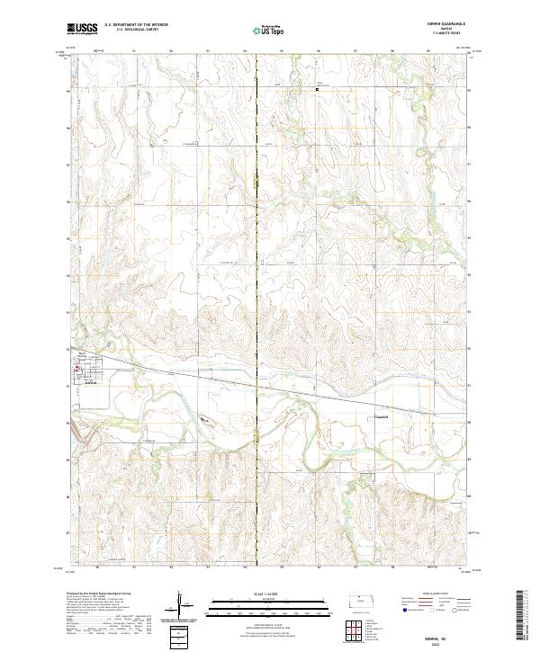 2022 Kirwin2022 Print · USGSPhillips and Smith Counties are captured here in the early twenty-first century, showing the rural landscape surrounding the N Fork Solomon River. Researchers can trace local history through the streets of Kirwin, the riverside settlement of Claudell, and the Olive Branch Cem.
 - 2022 Map of Kirwin SE, 2022 Print
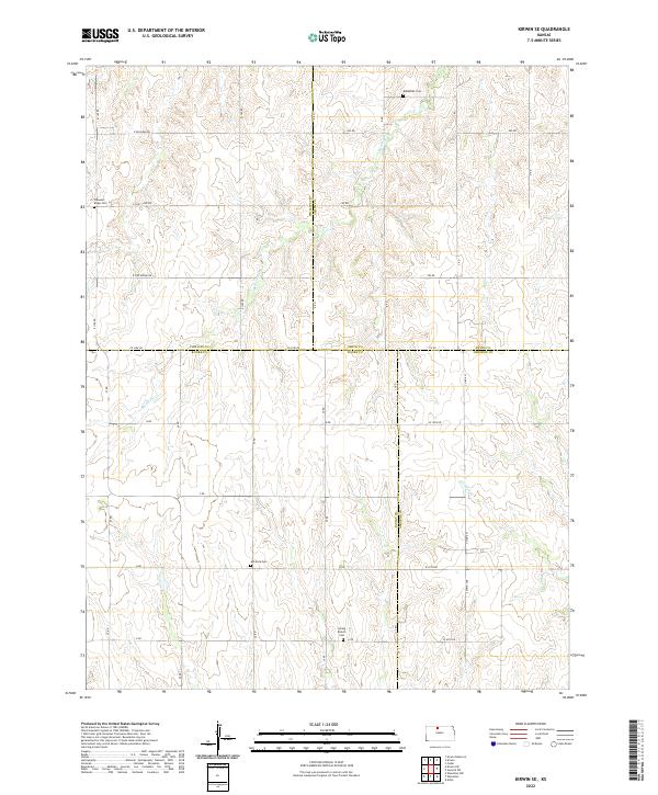 2022 Kirwin SE2022 Print · USGSFour Kansas counties converge in this rural agricultural landscape during the early twenty-first century. Genealogists and local historians can locate several family and community landmarks, such as Bohemian Cem, Ash Rock Cem, and the waters of Medicine Cr.
End of results
Showing maps 1-25 of 25
Top cities of Smith County
- Smith Center historical maps
- Kensington historical maps
- Lebanon historical maps
- Gaylord historical maps
- Harlan historical maps
- Athol historical maps
See more
Frequently asked questions
- What are the different types of historical maps available for Smith County?
- What is the oldest map of Smith County?
- Where can I purchase historical maps of Smith County for my home or office?
- Where can I download high-res historical maps of Smith County?
- Are there historical topographic maps available for Smith County?
- Is there historical aerial imagery available for Smith County?
- Where are historical maps of Smith County sourced from?