2000-2009 Maps of Smith County, Kansas
Explore 19 historic maps of Smith County from 2000-2009. These maps offer a rare glimpse into what life looked like during the 2000s — showing old roads, neighborhoods, homes, and landmarks that have changed or disappeared over time.
Whether you're researching your family's past, planning a metal detecting trip, or studying how Smith County's landscape evolved across the 2000s, these high-resolution maps are a powerful tool for exploring the history of this region.
- Focus on a specific era: All maps on this page are from the 2000s, giving you a focused view of this time period.
- See what’s changed: Compare century-old streets, trails, and buildings to today's modern landscape using overlays and satellite layers.
- Research with precision: Use these maps for genealogy, historical research, land use analysis, or educational projects.
- View, download, or print: Maps are fully viewable online in high resolution, and can be downloaded or printed for your own records.
Start exploring Smith County's history through authentic maps from the 2000s. This is your window into the past.
Smith County, KS maps
(19)- 2009 Map of Athol, 2009 Print
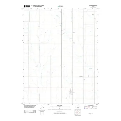 2009 Athol2009 Print · USGSThe small Kansas community of Athol and its surrounding Smith County farmsteads are documented here in the early twenty-first century. Genealogists can locate family sites near Meade Cemetery, Zion Cemetery, or the residential grid of Pine St and Main St.
 - 2009 Map of Bachelors Run, 2009 Print
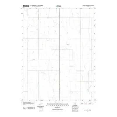 2009 Bachelors Run2009 Print · USGSSmith County at the end of the first decade of the 2000s shows a deeply engraved prairie landscape of agricultural tradition. Researchers can trace family history at Pleasant Hill Cemetery or follow the winding courses of Bachelors Run and Middle Beaver Creek.
 - 2009 Map of Cedar, 2009 Print
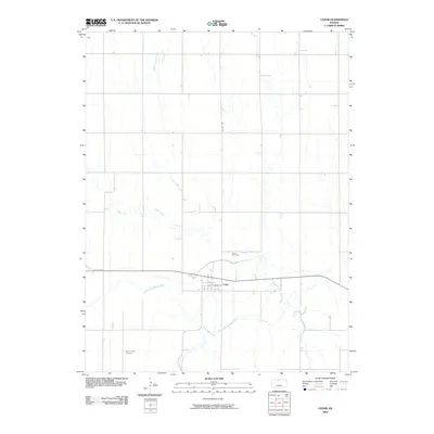 2009 Cedar2009 Print · USGSThe rural community of Cedar is documented here in the early twenty-first century, anchored by its position along the North Fork Solomon River. Genealogists can locate family sites at Cedar Cemetery and Saint Francis Cemetery or trace the path of the Kirwin Main Canal.
 - 2009 Map of Gaylord, 2009 Print
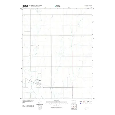 2009 Gaylord2009 Print · USGSSmith County, Kansas, is captured in this early 21st-century survey where the plains meet the river fork. Genealogists and local historians can trace the town grid of Gaylord and locate family burials at Christ Cemetery or Gaylord Cemetery.
 - 2009 Map of Gaylord SW, 2009 Print
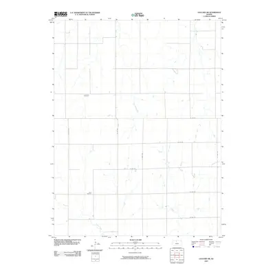 2009 Gaylord SW2009 Print · USGSOsborne County at the close of the millennium is a landscape of long-standing family farms and rural section lines. Genealogists and local historians can locate early burial sites at Leasburg Cemetery and Grant Cemetery near Glen Rock Creek.
 - 2009 Map of Kensington, 2009 Print
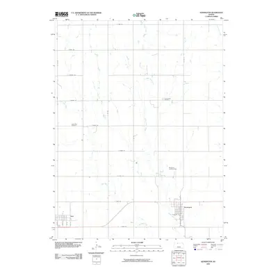 2009 Kensington2009 Print · USGSSmith County, Kansas, at the end of the first decade of the millennium shows a landscape defined by its grid-based roads and rural outposts. Genealogists and local historians can trace the positions of the Germantown Cemetery, the Reneberg Landing Strip, and the town of Agra.
 - 2009 Map of Reamsville, 2009 Print
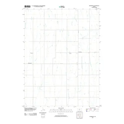 2009 Reamsville2009 Print · USGSSmith County, Kansas, is seen here in the early twenty-first century, showing the enduring agricultural character of the high plains. Genealogists and local historians can pinpoint Reamsville, Thornburg, and rural burial sites like Pleasant Hill Cemetery.
 - 2009 Map of Smith Center, 2009 Print
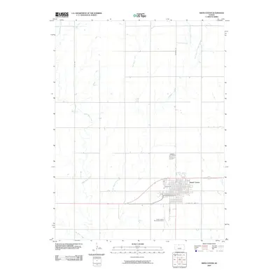 2009 Smith Center2009 Print · USGSSmith Center and the surrounding Kansas prairie are documented here in the early twenty-first century. Genealogists and local historians can trace the town grid out to Fairview Cemetery and locate rural landmarks along Middle Beaver Creek and Troublesome Creek.
 - 2009 Map of Harlan, 2009 Print
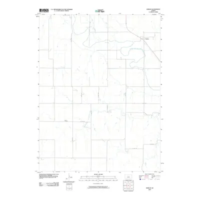 2009 Harlan2009 Print · USGSHarlan and the surrounding Smith County plains are captured in this 2009 survey of the Solomon River valley. Genealogists can locate Butler Cemetery and trace rural family lands along Lawrence Creek or the banks of the North Forok Solomon River.
 - 2009 Map of Kirwin SE, 2009 Print
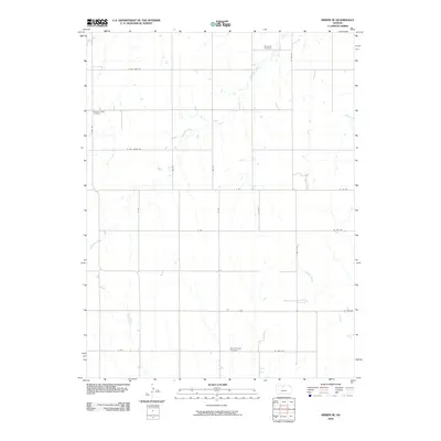 2009 Kirwin SE2009 Print · USGSOsborne County at the end of the first decade of the 2000s remains a landscape of traditional section-line roads and family heritage. Genealogists and local historians can locate early burial grounds such as Bohemian Cemetery and Spring Branch Cemetery tucked along the banks of Medicine Creek.
 - 2009 Map of Kensington NE, 2009 Print
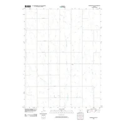 2009 Kensington NE2009 Print · USGSThe rural landscape of Phillips County is captured here in the early twenty-first century, showing the enduring grid of the Kansas prairie. Genealogists and local historians can locate Stone Cemetery and trace the many branches of East Middle Cedar Creek and West Middle Cedar Creek.
 - 2009 Map of McCracken Branch, 2009 Print
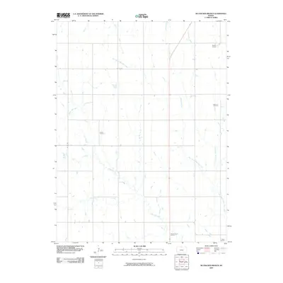 2009 McCracken Branch2009 Print · USGSJewell County's rural landscape is captured here in the early twenty-first century, showing a region shaped by prairie waterways and section-line roads. Genealogists and local historians can locate several burial grounds, including Oriole Cemetery, Webb Hill Cemetery, and Salem Cemetery.
 - 2009 Map of Cora, 2009 Print
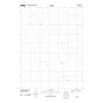 2009 Cora2009 Print · USGSSmith County is shown here in the late 2000s, reflecting a landscape of quiet prairie settlements and winding creek beds. Genealogists and local historians can locate Cedar Hill Cemetery and trace the paths of White Rock Creek and Pawnee Creek.
 - 2009 Map of Portis NE, 2009 Print
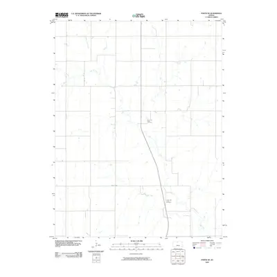 2009 Portis NE2009 Print · USGSJewell County's rural landscape is mapped here in the early twenty-first century, showcasing the intricate drainage of the Oak Creek system. Genealogists and local historians can locate the North Oak Creek Cemetery and South Oak Creek Cemetery.
 - 2009 Map of Downs North, 2009 Print
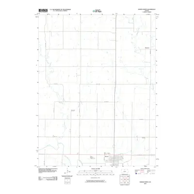 2009 Downs North2009 Print · USGSOsborne County at the close of the first decade of the 2000s shows a landscape deeply rooted in its agricultural grid. Genealogists and historians can trace local family landmarks through Rose Valley Cemetery, the rural settlement of Dispatch, and the streets of Downs.
 - 2009 Map of Portis, 2009 Print
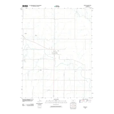 2009 Portis2009 Print · USGSThe town of Portis sits in the fertile valley of the North Fork Solomon River during the early twenty-first century. Genealogists can locate family burial grounds including Hammond Cemetery, Garrett Cemetery, and Fairview Cemetery across the rural township landscape.
 - 2009 Map of Bellaire, 2009 Print
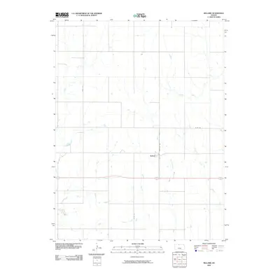 2009 Bellaire2009 Print · USGSThe rural community of Bellaire is documented here during the early twenty-first century, showing the intersection of agriculture and local infrastructure. Researchers can trace the drainage of the plains via West Oak Creek and Monkey Run or follow historical property access along Sheddy Rd.
 - 2009 Map of Lebanon, 2009 Print
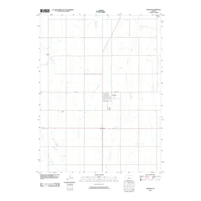 2009 Lebanon2009 Print · USGSNorth-central Kansas appears in its modern agricultural form at the close of the first decade of the 2000s. Researchers can locate family landmarks like Salem Cemetery or Price Cemetery and trace the grid of Lebanon near Spring Creek.
 - 2009 Map of Portis NW, 2009 Print
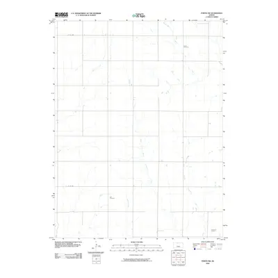 2009 Portis NW2009 Print · USGSSmith County, Kansas, is depicted here in the early twenty-first century as a landscape of structured agricultural fields and winding prairie streams. Genealogists can locate family burial sites at Custer Cemetery, Bell Cemetery, or Twelvemile Cemetery.
End of results
Showing maps 1-19 of 19
Top cities of Smith County
- Smith Center historical maps
- Kensington historical maps
- Lebanon historical maps
- Gaylord historical maps
- Harlan historical maps
- Athol historical maps
See more
Frequently asked questions
- What are the different types of historical maps available for Smith County?
- What is the oldest map of Smith County?
- Where can I purchase historical maps of Smith County for my home or office?
- Where can I download high-res historical maps of Smith County?
- Are there historical topographic maps available for Smith County?
- Is there historical aerial imagery available for Smith County?
- Where are historical maps of Smith County sourced from?