Old Maps of Cedar, Kansas for Hiking & Exploration
Hike through history with 10 historic maps of Cedar. Explore old trails, ghost towns, and forgotten backroads — perfect for outdoor adventurers and local explorers.
- Rediscover forgotten places: Map out old mining camps, roads, and footpaths that no longer exist on modern maps.
- Layer with modern tools: Combine with LiDAR or satellite views to plan hikes through historical terrain.
- Made for exploration: Popular among hikers, overlanders, and local history lovers.
Use these maps to find adventure and explore the hidden past of Cedar.
Cedar, KS maps
(10)- 1893 Map of Smith Center
 1893 Smith Center1893 Print · USGSNorth-central Kansas emerges in the early 1890s as a landscape of grid-patterned townships and growing rail towns. Researchers can trace the early footprints of Smith Center and Lebanon or locate vanished points like Jacksonburg and Womer.3 unique versions available
 - 1955 Map of Beloit, 1971 Print
 1955 Beloit1971 Print · USGSNorth Central Kansas in the mid-fifties shows a landscape of river-valley agriculture and expanding water infrastructure. Genealogists can trace the rail lines of the Union Pacific through towns like Nicodemus, Cawker City, and the State Sanatorium.3 unique versions available
 - 1959 Map of Beloit
 1959 Beloit1959 Print · USGSNorth Central Kansas at mid-century reveals a landscape shaped by river valleys and the expansion of massive water reservoirs. Genealogists and historians can trace the rail-town connections of Beloit and Norton or locate the site of the new Webster Dam.3 unique versions available
 - 1973 Map of Cedar, 1975 Print
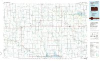
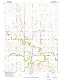 1973 Cedar1975 Print · USGSCedar and the Solomon River valley are captured here in the early 1970s during a period of established rail and irrigation infrastructure. Researchers can trace the layout of the Cedar townsite and locate community anchors like St Francis Cem and the Missouri Pacific line.
 - 1985 Map of Smith Center
 1985 Smith Center1985 Print · USGSNorth Central Kansas in the mid-eighties shows a landscape of small agricultural hubs like Smith Center and Mankato linked by the Missouri Pacific line. Researchers can locate the Geographic Center of 48 States and trace family roots near Fairview Cem or along Waconda Lake.2 unique versions available
 - 2009 Map of Cedar, 2009 Print
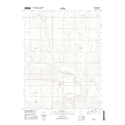
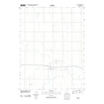 2009 Cedar2009 Print · USGSCovers Cedar, including Smith County, United States, and other nearby areas
 - 2012 Map of Cedar, 2012 Print
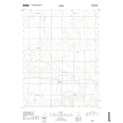
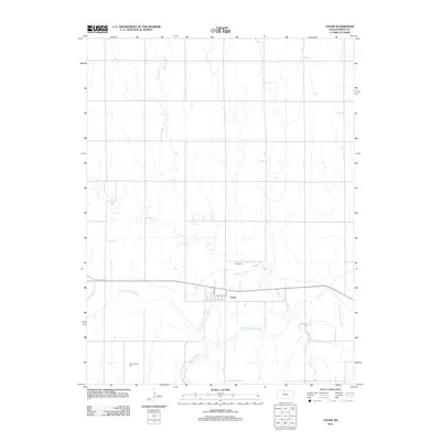 2012 Cedar2012 Print · USGSCovers Cedar, including Smith County, United States, and other nearby areas
 - 2015 Map of Cedar, 2015 Print
 2015 Cedar2015 Print · USGSCovers Cedar, including Smith County, United States, and other nearby areas
 - 2018 Map of Cedar, 2018 Print
 2018 Cedar2018 Print · USGSCovers Cedar, including Smith County, United States, and other nearby areas
 - 2022 Map of Cedar, 2022 Print
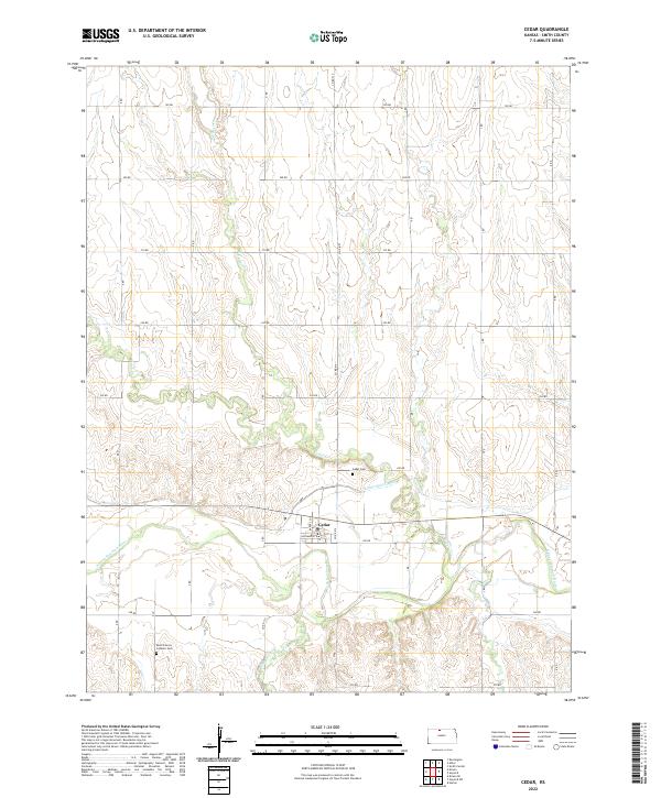 2022 Cedar2022 Print · USGSAgricultural life in Smith County during the 2020s is centered on the river valley near Cedar. Genealogists and researchers can trace local family landmarks like the Saint Francis Catholic Cem and the route of the Kirwin Main Canal.
End of results
Showing maps 1-10 of 10
Top cities near Cedar
- Smith Center historical maps
- Kensington historical maps
- Agra historical maps
- Kirwin historical maps
- Gaylord historical maps
- Woodston historical maps
See more
Frequently asked questions
- What are the different types of historical maps available for Cedar?
- What is the oldest map of Cedar?
- Where can I purchase historical maps of Cedar for my home or office?
- Where can I download high-res historical maps of Cedar?
- Are there historical topographic maps available for Cedar?
- Is there historical aerial imagery available for Cedar?
- Where are historical maps of Cedar sourced from?