1970s Maps of Thomas County, Kansas
Explore 14 historic maps of Thomas County from the 1970s. These maps offer a rare glimpse into what life looked like during the 1970s — showing old roads, neighborhoods, homes, and landmarks that have changed or disappeared over time.
Whether you're researching your family's past, planning a metal detecting trip, or studying how Thomas County's landscape evolved across the 1970s, these high-resolution maps are a powerful tool for exploring the history of this region.
- Focus on a specific era: All maps on this page are from the 1970s, giving you a focused view of this time period.
- See what’s changed: Compare century-old streets, trails, and buildings to today's modern landscape using overlays and satellite layers.
- Research with precision: Use these maps for genealogy, historical research, land use analysis, or educational projects.
- View, download, or print: Maps are fully viewable online in high resolution, and can be downloaded or printed for your own records.
Start exploring Thomas County's history through authentic maps from the 1970s. This is your window into the past.
Thomas County, KS maps
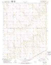
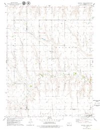
(14)- 1972 Map of Winona NE, 1974 Print
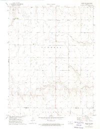 1972 Winona NE1974 Print · USGSWestern Kansas ranching and energy lands are captured here in the early 1970s, where the Saline River begins its eastward journey. Genealogists and local historians can locate the Township Cem and trace the paths of the North Fork Saline River and South Fork Saline River.
 - 1972 Map of Winona NW, 1974 Print
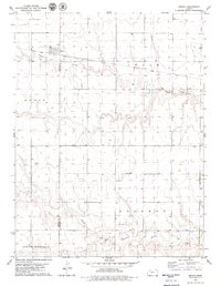
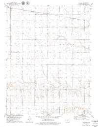
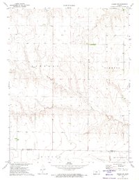 1972 Winona NW1974 Print · USGSThe High Plains of Western Kansas are captured here in the early seventies, showing the rural landscape along the Thomas Co border. Researchers can trace land divisions in Summers and locate water sources like the South Fork Saline River and various local Wells.
 - 1978 Map of Long Draw South, 1979 Print
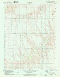 1978 Long Draw South1979 Print · USGSThe Northwest Kansas high plains come into focus in the late seventies, showing the rural landscapes of Rawlins and Thomas counties. Family historians can locate specific burial sites at Lone Star Cem and Cumberland Cem or trace the drainage of the South Fork Sappa Creek.
 - 1978 Map of Achilles SE, 1979 Print
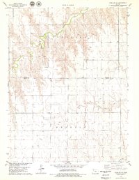 1978 Achilles SE1979 Print · USGSWestern Kansas agricultural life is documented here in the late seventies, centered on the boundary between Rawlins and Thomas counties. Researchers can locate the rural Townhall, the settlement at Falconer, and several named watercourses like South Fork Sappa Creek.
 - 1978 Map of Selden SW, 1979 Print
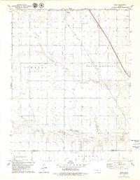
 1978 Selden SW1979 Print · USGSNorthwest Kansas in the late 1970s shows a high-plains landscape defined by section-line roads and the vital waterways of the prairie. Researchers can locate the Hawkeye Cem, the rail siding at Laing, and the route of the Chicago Rock Island and Pacific railroad.
 - 1979 Map of Menlo
 1979 Menlo1979 Print · USGSMenlo and its surrounding High Plains farmland are captured here in the late seventies, centered on the Union Pacific rail line. Researchers can trace local landmarks like the Menlo Cem, the settlement of Nash, and the South Fork Solomon River.
 - 1979 Map of Rexford
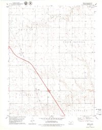
 1979 Rexford1979 Print · USGSRexford sits at a vital rail and highway junction in Northwest Kansas during the late seventies. Researchers can trace the layout of the town and its Rexford center, locate the Rexford Cem, and follow the path of the Chicago Rock Island and Pacific railroad.2 unique versions available
 - 1979 Map of Mingo
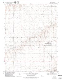
 1979 Mingo1979 Print · USGSThomas County, Kansas, is captured in the late seventies at the intersection of the new interstate age and deep-rooted rail history. Researchers can trace the layout of Mingo, locate the Mingo Cem, and see how the Union Pacific shaped these High Plains townships.
 - 1979 Map of Oakley North
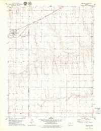
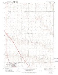 1979 Oakley North1979 Print · USGSThe High Plains of West Kansas meet at the confluence of the Saline River forks in the late seventies. Researchers can trace family sites at Oakley Cem or St Josephs Cem, and locate early civic landmarks like the Townhall and Fairground.
 - 1979 Map of Gem
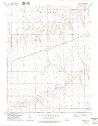
 1979 Gem1979 Print · USGSThomas County, Kansas, is captured in the late seventies as a landscape defined by rail lines and rural townships. Researchers can trace family history at Township Cem or follow the path of the Chicago Rock Island and Pacific through Gem.
 - 1979 Map of Spica
 1979 Spica1979 Print · USGSThe High Plains of Thomas County come alive in the late 1970s, showing the convergence of the Saline River forks. Researchers can trace the path of the Union Pacific railroad near Spica and locate regional landmarks like the Oil Field and Feedlot.2 unique versions available
 - 1979 Map of Breton
 1979 Breton1979 Print · USGSHigh Plains agriculture and the railroad define this Thomas County landscape in the late seventies. Genealogists and historians can trace the paths of the Chicago Rock Island and Pacific through Breton and locate landmarks like Roadside Park and the North Fork Solomon River.
 - 1979 Map of Grinnell North
 1979 Grinnell North1979 Print · USGSSheridan County agricultural lands and rail corridors are captured here in the late seventies. Genealogists and local historians can trace the foundations of Angelus and Grinnell, or locate rural landmarks like St Johns Cem and the Union Pacific line.
 - 1979 Map of Halford
 1979 Halford1979 Print · USGSThomas County agriculture and rail transit converge in the late 1970s near the Halford settlement. Genealogists and historians can trace the Union Pacific line, the banks of the South Fork Solomon River, and industrial sites like the local Feedlot.
End of results
Showing maps 1-14 of 14
Top cities of Thomas County
- Colby historical maps
- Brewster historical maps
- Rexford historical maps
- Gem historical maps
- Menlo historical maps
Frequently asked questions
- What are the different types of historical maps available for Thomas County?
- What is the oldest map of Thomas County?
- Where can I purchase historical maps of Thomas County for my home or office?
- Where can I download high-res historical maps of Thomas County?
- Are there historical topographic maps available for Thomas County?
- Is there historical aerial imagery available for Thomas County?
- Where are historical maps of Thomas County sourced from?