2020s Maps of Wabaunsee County, Kansas
Explore 28 historic maps of Wabaunsee County from the 2020s. These maps offer a rare glimpse into what life looked like during the 2020s — showing old roads, neighborhoods, homes, and landmarks that have changed or disappeared over time.
Whether you're researching your family's past, planning a metal detecting trip, or studying how Wabaunsee County's landscape evolved across the 2020s, these high-resolution maps are a powerful tool for exploring the history of this region.
- Focus on a specific era: All maps on this page are from the 2020s, giving you a focused view of this time period.
- See what’s changed: Compare century-old streets, trails, and buildings to today's modern landscape using overlays and satellite layers.
- Research with precision: Use these maps for genealogy, historical research, land use analysis, or educational projects.
- View, download, or print: Maps are fully viewable online in high resolution, and can be downloaded or printed for your own records.
Start exploring Wabaunsee County's history through authentic maps from the 2020s. This is your window into the past.
Wabaunsee County, KS maps
(28)- 2022 Map of Council Grove, 2022 Print
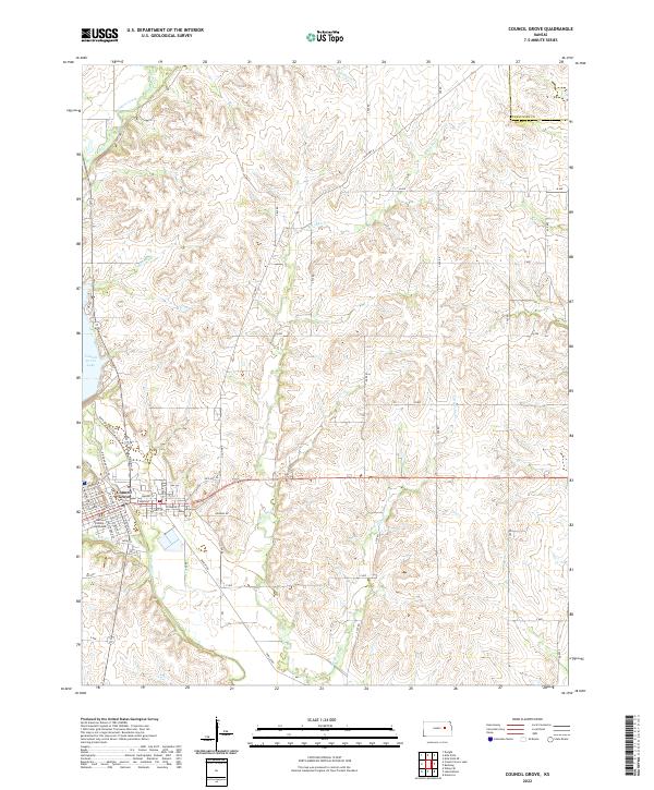 2022 Council Grove2022 Print · USGSCouncil Grove and the surrounding Morris County landscape are captured here in the early twenty-first century. Researchers can trace the civic layout around the Morris County Courthouse and the hydrology of the Neosho River and Council Grove Lake.
 - 2022 Map of Lake Wabaunsee, 2022 Print
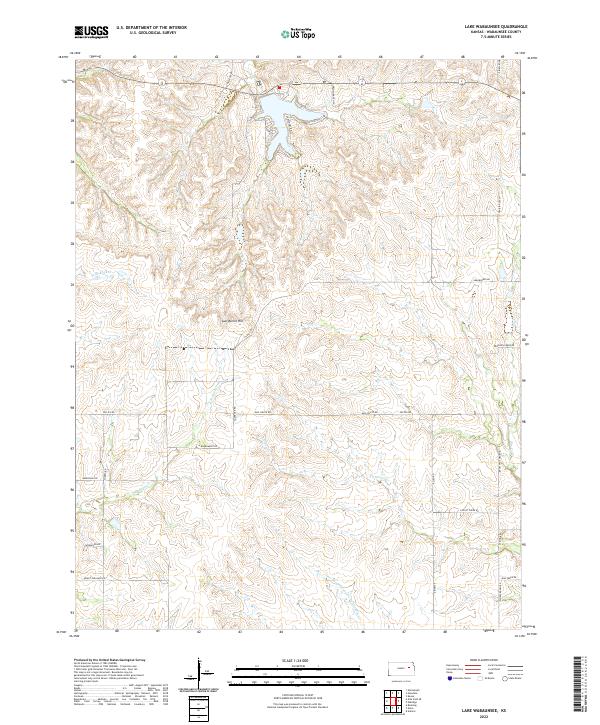 2022 Lake Wabaunsee2022 Print · USGSWabaunsee County's rolling prairie and reservoir shorelines are documented in this contemporary survey. Researchers can trace historic transit paths and family-named landmarks like Gun Barrel Hill, Mail Route Rd, and One Hundred and Forty-two Mile Cr.
 - 2022 Map of Volland, 2022 Print
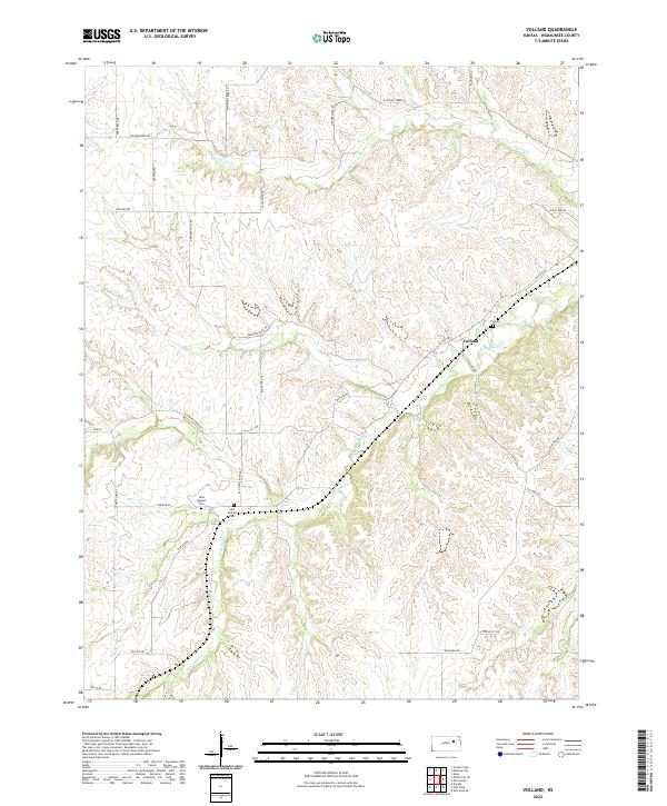 2022 Volland2022 Print · USGSThe Flint Hills of Wabaunsee County are documented here in the early twenty-first century, showing the enduring ranching landscape of the region. Researchers can locate the Volland settlement and trace family history at West Templin Cem or Fix Cem.
 - 2022 Map of White City NE, 2022 Print
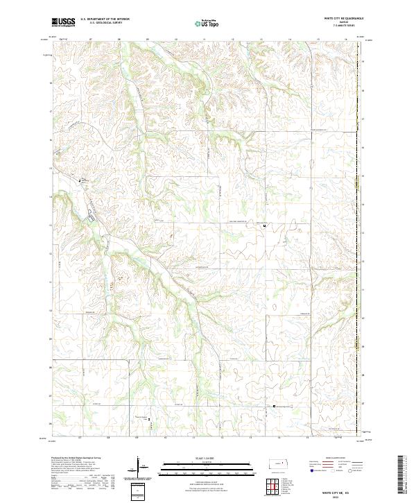 2022 White City NE2022 Print · USGSThe rural borderlands of Geary and Wabaunsee counties are documented here in the early twenty-first century, showing a landscape defined by ranching and creek drainages. Researchers can locate secluded family and community sites like Damoris Quaker Cem, Moss Spring, and Upper Humboldt Cem.
 - 2022 Map of Miller, 2022 Print
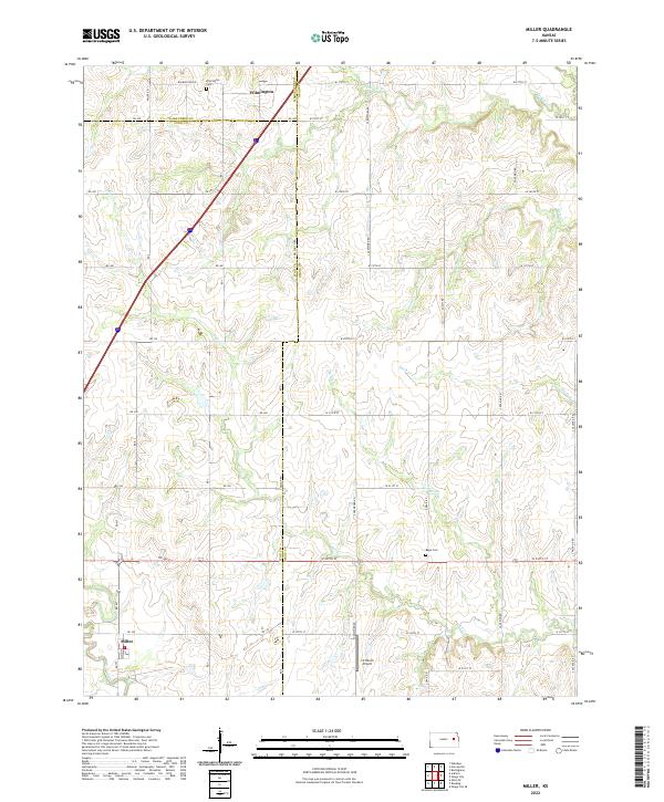 2022 Miller2022 Print · USGSThe intersection of Wabaunsee, Lyon, and Osage counties is captured here in the early twenty-first century. Researchers can trace the rural layouts of Wilmington and Miller, or locate family sites near Wilmington Cem and Rapp Cem.
 - 2022 Map of Allendorph, 2022 Print
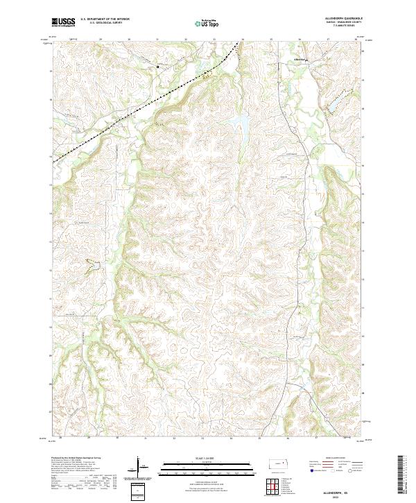 2022 Allendorph2022 Print · USGSWabaunsee County's Flint Hills topography is documented here in the early twenty-first century, showing a landscape defined by deep creek valleys and prairie ridges. Researchers can locate Fairview Cem and trace the paths of Poor Farm Rd and Volland Rd through the Allendorph vicinity.
 - 2022 Map of Dover, 2022 Print
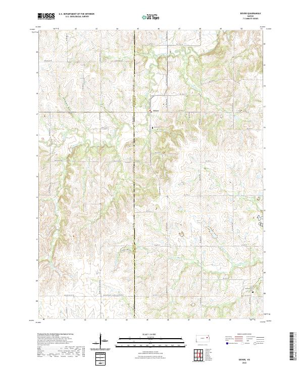 2022 Dover2022 Print · USGSThe area surrounding Dover in the early twenty-first century remains defined by its deep prairie drainages and quiet rural crossroads. Genealogists and local historians can trace family locations near the Dover Cem or follow the path of the Wakarusa River across the county line.
 - 2022 Map of Eskridge, 2022 Print
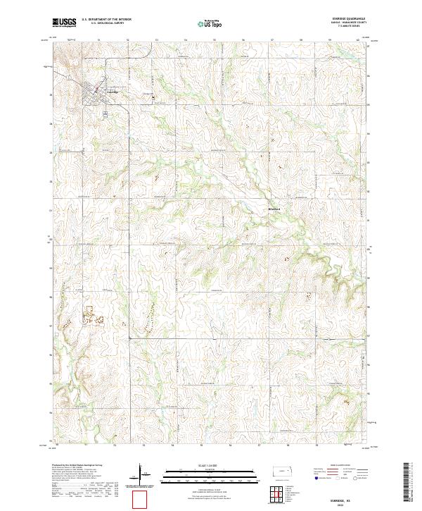 2022 Eskridge2022 Print · USGSThe rural agricultural lands of Wabaunsee County come into focus in this recent survey of the Kansas prairie. Genealogists and local historians can trace the streets of Eskridge, locate the Eskridge Cem, or follow the winding paths of Dragoon Cr and Soldier Cr.
 - 2022 Map of Harveyville, 2022 Print
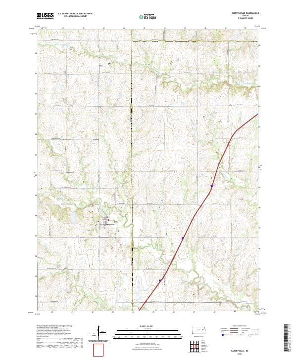 2022 Harveyville2022 Print · USGSThis part of eastern Kansas showcases the rural intersection of Wabaunsee, Osage, and Shawnee counties in the early twenty-first century. Genealogists and local historians can trace the landscape around Harveyville and find family-named landmarks like Smith Lake and Old Log House Rd.
 - 2022 Map of Alta Vista SE, 2022 Print
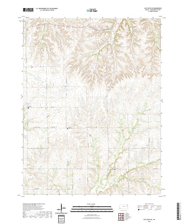 2022 Alta Vista SE2022 Print · USGSSoutheast of Alta Vista in Wabaunsee County, this contemporary survey captures a rolling prairie landscape shaped by the headwaters of numerous creeks. Genealogists and local historians can trace family locations near Prairie View Cem, Chalk Cem, and the winding Illinois Cr.
 - 2022 Map of Alta Vista, 2022 Print
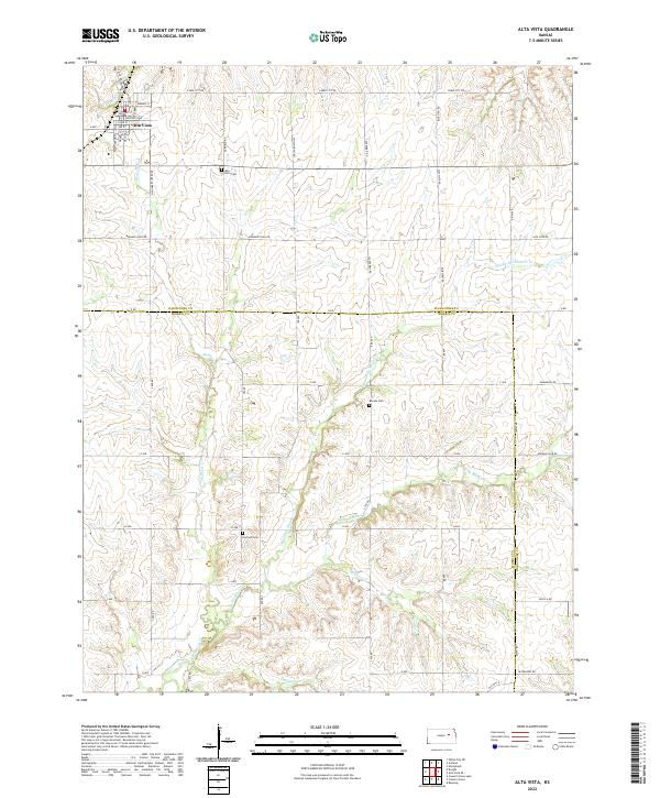 2022 Alta Vista2022 Print · USGSThe Flint Hills uplands on the Wabaunsee and Morris County border appear here in contemporary detail. Genealogists can trace family plots at Alta Vista Cem and Garfield Cem or follow the historic path of Mormon Trail Rd.
 - 2022 Map of Keene, 2022 Print
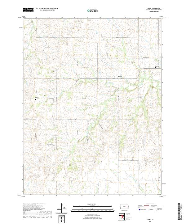 2022 Keene2022 Print · USGSWabaunsee County, Kansas, is documented here in the early twenty-first century, showing a landscape of traditional ranching and deep-rooted community sites. Researchers can locate the Keene Cem, trace the winding Military Trail Rd, and follow the path of Mission Cr through the local prairie.
 - 2022 Map of Allen, 2022 Print
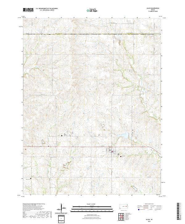 2022 Allen2022 Print · USGSThe Lyon County prairie near the Wabaunsee border is captured here in the early twenty-first century. Researchers can trace the layout of Allen and locate the Bushong Cem and Allen Cem along the winding banks of Hill Creek.
 - 2022 Map of Dwight, 2022 Print
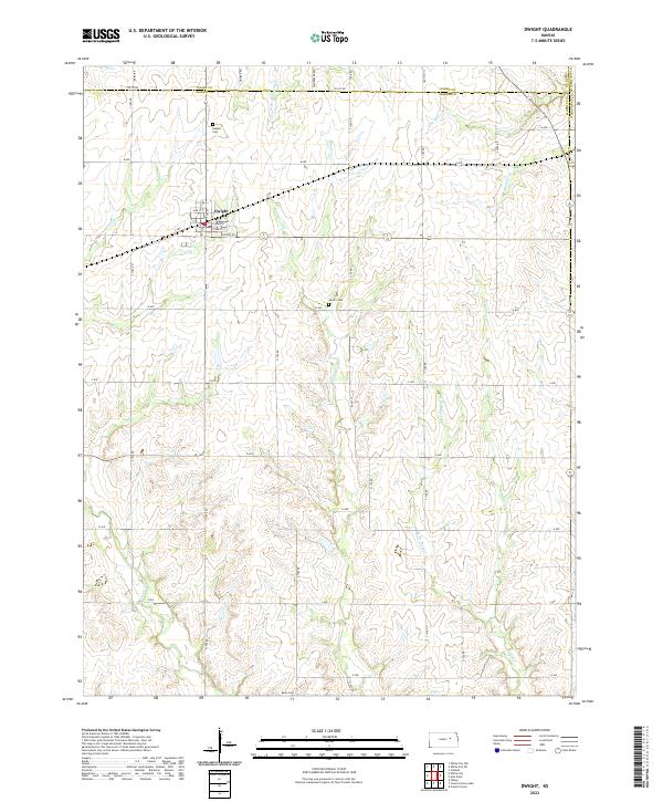 2022 Dwight2022 Print · USGSThe northern Morris County plains come into focus in the early 2020s, centered on the small town of Dwight. Local historians can trace family roots at Dwight Cem, Swartz Cem, and Kelso Cem while following the many branches of Slough Cr.
 - 2022 Map of Hessdale, 2022 Print
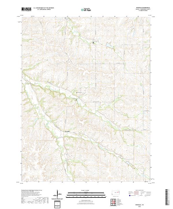 2022 Hessdale2022 Print · USGSWabaunsee County remains a quintessential rural Kansas landscape in the early twenty-first century, centered on the small community of Hessdale. Genealogists can locate family burial sites at Troemper Cem and Swedish Cem while tracing the waters of Nehring Cr.
 - 2022 Map of Admire, 2022 Print
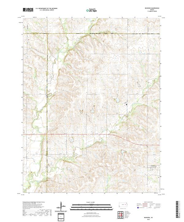
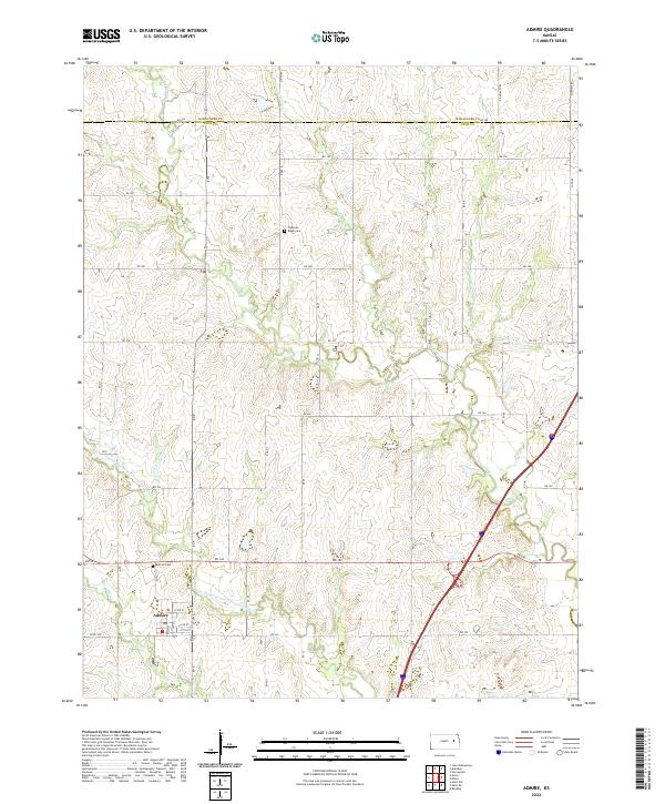 2022 Admire2022 Print · USGSThe rural landscape of northern Lyon County is captured here in the early twenty-first century, centered on the small community of Admire. Researchers can trace local heritage and land use through landmarks like Admire Cem and the uniquely named One Hundred and Fortytwo Mile Cr.
 - 2022 Map of Bushong, 2022 Print
 2022 Bushong2022 Print · USGSThe Flint Hills prairie at the convergence of Lyon, Morris, and Wabaunsee counties comes into focus in this recent survey. Researchers can trace rural lineages at Agnes City Cem or follow the winding courses of Bluff Creek and Rock Cr.
 - 2022 Map of Wamego SW, 2022 Print
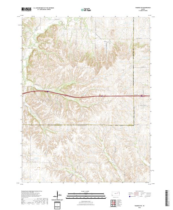 2022 Wamego SW2022 Print · USGSThe rural border of Riley and Wabaunsee counties is documented here in the early twenty-first century, showcasing the complex drainage of the Flint Hills. Researchers can trace land patterns along Tabor Valley and locate family-named landmarks like Smith Airport and Deadman Cr.
 - 2022 Map of Maple Hill, 2022 Print
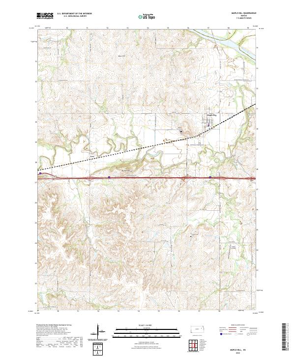 2022 Maple Hill2022 Print · USGSWabaunsee County enters the twenty-first century as a landscape of cattle ranches and creek valleys near the Kansas River. Genealogists and local historians can locate Maple Hill Cemetery, trace the path of Mill Creek, and find landmarks like Buffalo Mound.
 - 2022 Map of McFarland, 2022 Print
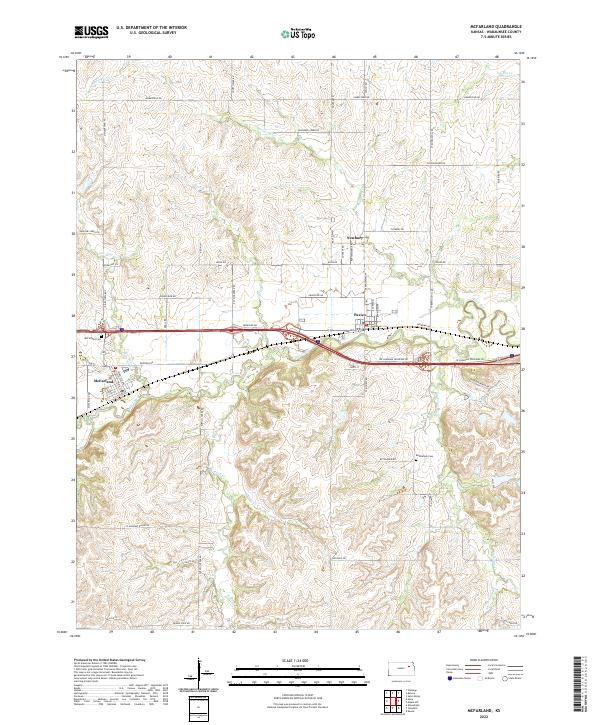 2022 McFarland2022 Print · USGSThe Flint Hills of Wabaunsee County are revealed in this modern survey of the McFarland and Paxico areas. Researchers can trace local genealogy and land use through landmarks like Bethlehem Cem, the winding path of Mill Creek, and the rural settlement of Newbury.
 - 2022 Map of Wamego, 2022 Print
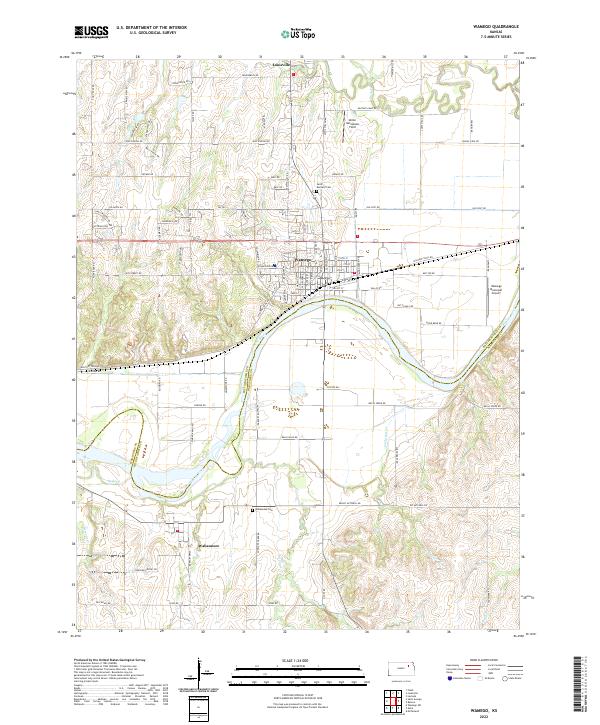 2022 Wamego2022 Print · USGSWamego and the Kansas River valley are captured here in the early twenty-first century, showing the intersection of rail, river, and road. Local historians can trace the sites of Wabaunsee Cem, the old Cannonball Rd, and the Union Pacific line.
 - 2022 Map of Alma, 2022 Print
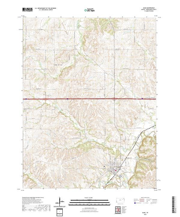 2022 Alma2022 Print · USGSAlma and the central Flint Hills region are captured here in the early twenty-first century, showcasing a landscape defined by deep creek valleys and rural homesteads. Genealogists and local historians can locate the Wabaunsee County Courthouse, trace family roots at Alma City Cem, or follow the winding Mill Creek.
 - 2022 Map of Belvue, 2022 Print
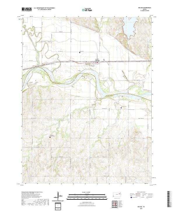 2022 Belvue2022 Print · USGSThe Kansas River valley in the early twenty-first century reveals a landscape shaped by the historic Oregon Trail Rd and the small town of Belvue. Researchers can trace local lineage through Belvue Cem and Saint John Lutheran Cem or follow the paths of Vermillion Creek and Wells Cr.
 - 2022 Map of Swede Creek, 2022 Print
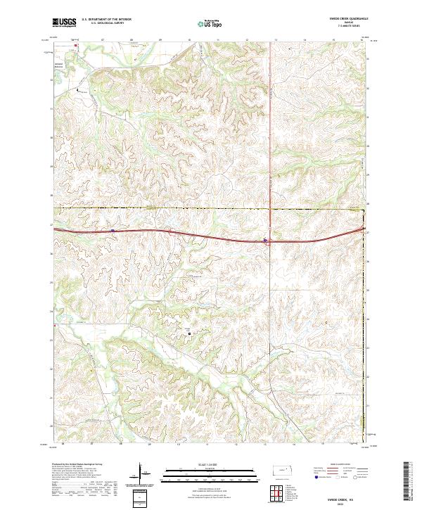 2022 Swede Creek2022 Print · USGSThe borderlands of Riley and Geary counties are shown in detail as they appeared in the early 2020s. Researchers can trace rural lineages at Ashland Cem or follow the many branches of McDowell Creek through Ashland Bottoms.
 - 2022 Map of Saint Marys, 2022 Print
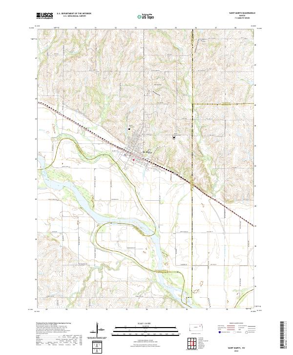 2022 Saint Marys2022 Print · USGSNear the convergence of Pottawatomie, Shawnee, and Jackson counties, this area reflects a landscape shaped by the Kansas River and historic pioneer routes. Genealogists and local researchers can locate Valley View Cem, trace the path of Oregon Trail Rd, and explore river access points like JMJ Landing.
Showing maps 1-25 of 28
Top cities of Wabaunsee County
- Newbury historical maps
- Alma historical maps
- Wilmington historical maps
- Eskridge historical maps
- Maple Hill historical maps
- Wabaunsee historical maps
See more
Frequently asked questions
- What are the different types of historical maps available for Wabaunsee County?
- What is the oldest map of Wabaunsee County?
- Where can I purchase historical maps of Wabaunsee County for my home or office?
- Where can I download high-res historical maps of Wabaunsee County?
- Are there historical topographic maps available for Wabaunsee County?
- Is there historical aerial imagery available for Wabaunsee County?
- Where are historical maps of Wabaunsee County sourced from?