2000-2009 Maps of Wabaunsee County, Kansas
Explore 26 historic maps of Wabaunsee County from 2000-2009. These maps offer a rare glimpse into what life looked like during the 2000s — showing old roads, neighborhoods, homes, and landmarks that have changed or disappeared over time.
Whether you're researching your family's past, planning a metal detecting trip, or studying how Wabaunsee County's landscape evolved across the 2000s, these high-resolution maps are a powerful tool for exploring the history of this region.
- Focus on a specific era: All maps on this page are from the 2000s, giving you a focused view of this time period.
- See what’s changed: Compare century-old streets, trails, and buildings to today's modern landscape using overlays and satellite layers.
- Research with precision: Use these maps for genealogy, historical research, land use analysis, or educational projects.
- View, download, or print: Maps are fully viewable online in high resolution, and can be downloaded or printed for your own records.
Start exploring Wabaunsee County's history through authentic maps from the 2000s. This is your window into the past.
Wabaunsee County, KS maps
(26)- 2009 Map of Council Grove, 2009 Print
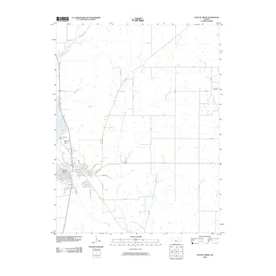 2009 Council Grove2009 Print · USGSMorris County in the late 2000s centers on the historic crossing of the Neosho River and the neighboring reservoir. Researchers can trace local landmarks like the Alexander Ranch Airport, the John Creek Oil Field, and the residential layout of Council Grove.
 - 2009 Map of Allen, 2009 Print
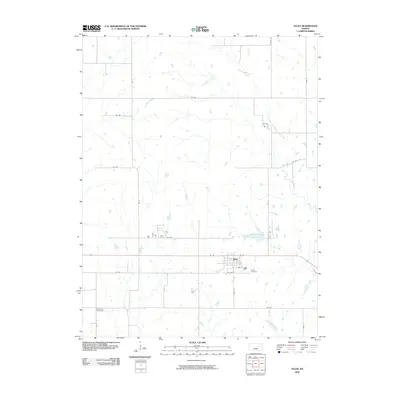 2009 Allen2009 Print · USGSThe small Kansas town of Allen is captured here in the early twenty-first century, surrounded by the expansive agricultural grid of Lyon County. Researchers can trace local heritage at Allen Cemetery or explore the drainage of One Hundred and Forty-two Mile Creek.
 - 2009 Map of Admire, 2009 Print
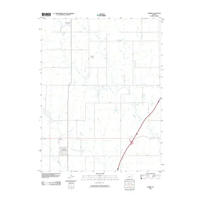 2009 Admire2009 Print · USGSAdmire and the surrounding Lyon County prairie are captured here in the early twenty-first century as a landscape of grid-line roads and winding creeks. Researchers can locate the Admire Cemetery, the Converse Farm Landing Strip, and the curiously named One Hundred and Fortytwo Mile Creek.
 - 2009 Map of Miller, 2009 Print
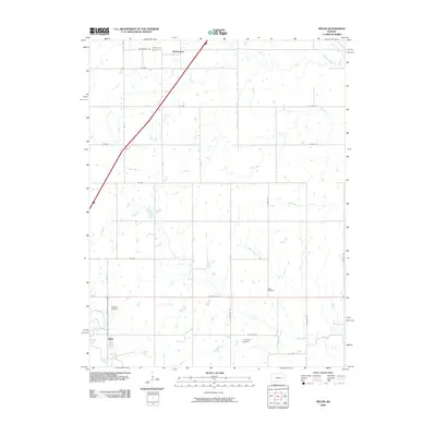 2009 Miller2009 Print · USGSThe rural landscapes of Osage and Wabaunsee Counties are captured here in the early twenty-first century, showing the prairie communities of Wilmington and Miller. Researchers can locate family heritage sites at Wilmington Cemetery and Rapp Cemetery or trace the winding paths of Dragoon Creek and Salt Creek.
 - 2009 Map of Eskridge, 2009 Print
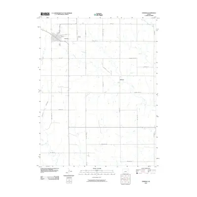 2009 Eskridge2009 Print · USGSEskridge and the surrounding Wabaunsee County prairies are mapped here at the close of the 2000s. Researchers can trace rural lineages through local landmarks like Eskridge Cemetery and the settlement at Bradford, or follow the banks of Dragoon Creek.
 - 2009 Map of White City NE, 2009 Print
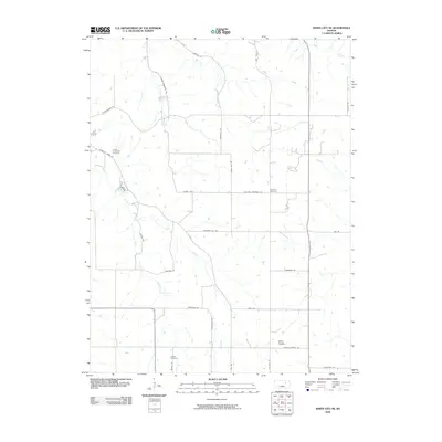 2009 White City NE2009 Print · USGSGeary County in the early twenty-first century is captured here as a quiet expanse of agricultural land and winding creek beds. Genealogists and local historians can locate several historic burial grounds, including Welcome Cemetery and Quaker Cemetery.
 - 2009 Map of Maple Hill, 2009 Print
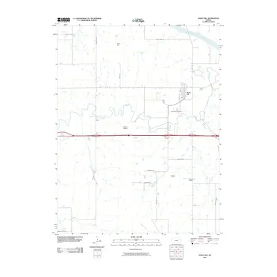 2009 Maple Hill2009 Print · USGSMaple Hill and the surrounding Flint Hills countryside appear at the end of the first decade of the millennium. Researchers can trace rural family roots through landmarks like Freeman Cemetery or the river-valley settlements of Vera and Maple Hill.
 - 2009 Map of Saint Marys, 2009 Print
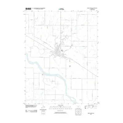 2009 Saint Marys2009 Print · USGSSaint Marys and the river valley are captured here in the early 2000s, showing a landscape defined by the water and historic migration paths. Researchers can trace local heritage through Valley View Cemetery or follow the route of Oregon Trail Rd.
 - 2009 Map of Alma, 2009 Print
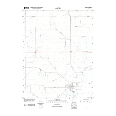 2009 Alma2009 Print · USGSAlma and its surrounding farmstead roads are captured here at the end of the first decade of the 2000s. Researchers can trace the local drainage of West Branch Mill Creek and find specific landmarks like the Alma Cemetery and Clapboard Canyon.
 - 2009 Map of Rossville, 2009 Print
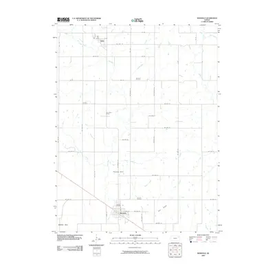 2009 Rossville2009 Print · USGSRossville and the surrounding Kansas plains appear in great detail during the early 2000s, showing a well-ordered agricultural landscape. Genealogists and local researchers can trace legacy landmarks like the Twin Rose School, Bohemian Cemetery, and the Delia Post Office.
 - 2009 Map of Harveyville, 2009 Print
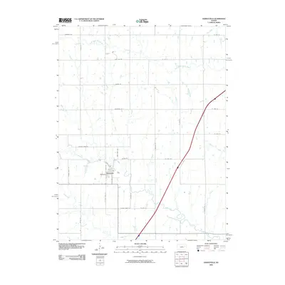 2009 Harveyville2009 Print · USGSHarveyville and the surrounding Wabaunsee County prairies are captured here in the early twenty-first century. Genealogists and local historians can trace family land proximity to landmarks like Froghollow or follow historic routes along Santa Fe Rd and Robbers Roost Rd.
 - 2009 Map of Alta Vista, 2009 Print
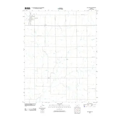 2009 Alta Vista2009 Print · USGSAlta Vista and its surrounding Wabaunsee County prairies are documented here during the early twenty-first century. Researchers can trace rural lineages through sites like Beman Cemetery or follow the path of Mormon Trail Rd as it crosses the various branches of Munkers Creek.
 - 2009 Map of Keene, 2009 Print
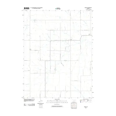 2009 Keene2009 Print · USGSThis rural Kansas township in Wabaunsee County is defined by the braided branches of Mission Creek and the small settlement of Keene. Genealogists and local historians can trace legacy sites like Keene Cemetery, Mission View Cemetery, and the historic Military Trail Rd.
 - 2009 Map of Dover, 2009 Print
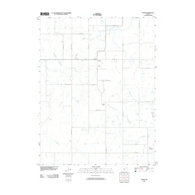 2009 Dover2009 Print · USGSDover and the surrounding Shawnee County prairie are captured here in the early twenty-first century as a landscape of family farms and creek valleys. Genealogists and local historians can locate the Highland School, Dover Cemetery, and the banks of the Wakarusa River.
 - 2009 Map of Saint George, 2009 Print
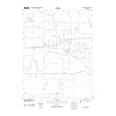 2009 Saint George2009 Print · USGSSaint George and the winding Kansas River valley are captured here during a period of transition between traditional rural life and modern expansion. Researchers can trace local lineage through the Saint George Cemetery, find the community of Zeandale, and locate Pillsbury Crossing.
 - 2009 Map of Willard, 2009 Print
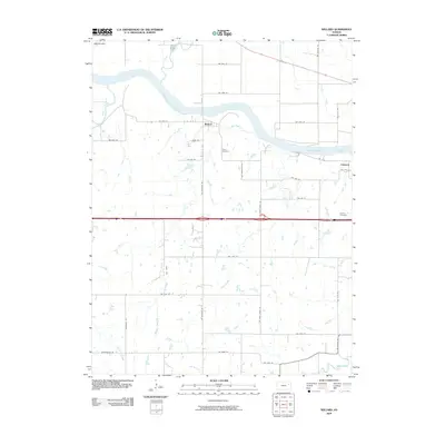 2009 Willard2009 Print · USGSWestern Shawnee County in the late 2000s remains a landscape of river-valley settlements and rural road networks. Genealogists and local historians can trace family-named routes like NW Carlson Rd and locate burial sites at Green Cemetery and Valencia Cemetery.
 - 2009 Map of Wamego, 2009 Print
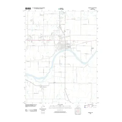 2009 Wamego2009 Print · USGSThe Kansas River valley in the early 2000s shows a landscape of established towns and rural farmsteads. Genealogists and researchers can trace local family landmarks such as Saint Bernard Cemetery, Wabaunsee, and the historic site of Mt Mitchell.
 - 2009 Map of Hessdale, 2009 Print
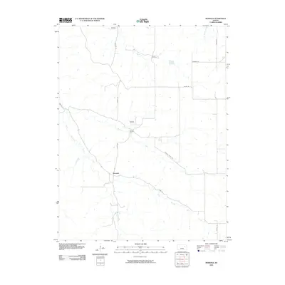 2009 Hessdale2009 Print · USGSHessdale and the surrounding Wabaunsee County countryside appear in this early 21st-century survey of the Kansas plains. Genealogists can trace family connections at Troemper Cemetery and Swedish Cemetery near the banks of East Branch Mill Creek.
 - 2009 Map of Wamego SW, 2009 Print
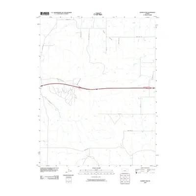 2009 Wamego SW2009 Print · USGSRiley County at the turn of the millennium shows the intersection of modern interstate travel with the established drainage of Tabor Valley. Genealogists and historians can trace the creek-side topography of Deep Creek and locate family-named routes like Pickering Rd and Tabor Ln.
 - 2009 Map of Alta Vista SE, 2009 Print
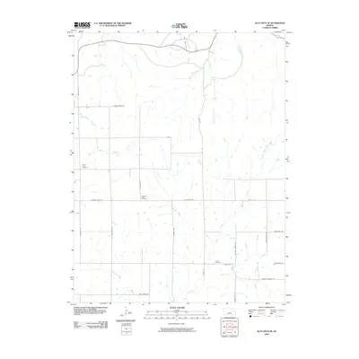 2009 Alta Vista SE2009 Print · USGSThe Flint Hills landscape of Wabaunsee County is documented here during the early 2000s, showcasing a rural area defined by winding creeks and oil production. Family historians can locate several burial grounds, including Pleasant Ridge Cemetery and Chalk Cemetery, alongside the Davis Ranch Oil Field.
 - 2009 Map of Swede Creek, 2009 Print
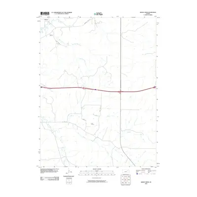 2009 Swede Creek2009 Print · USGSRiley County at the turn of the millennium shows a landscape of deep-cut prairie creeks and quiet rural settlements. Genealogists and local historians can locate Ashland Cemetery, trace the winding McDowell Creek, and find family-named landmarks like Rooks Ranch Rd.
 - 2009 Map of McFarland, 2009 Print
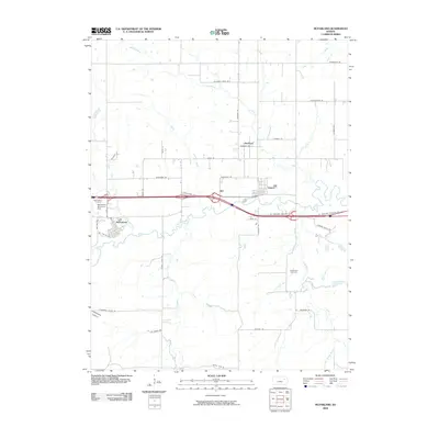 2009 McFarland2009 Print · USGSWabaunsee County at the turn of the millennium shows a landscape defined by the Interstate highway and historic rural townships. Genealogists and local historians can trace family locations near McFarland, Paxico, and landmarks like Bethlehem Cemetery.
 - 2009 Map of Volland, 2009 Print
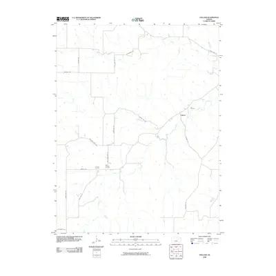 2009 Volland2009 Print · USGSThe rural landscape around Volland is captured here during the first decade of the 2000s, centered on the West Branch Mill Creek. Researchers can trace local heritage through sites like Fix Cemetery, Templin Cemetery, and the historic path of Drovers Trail Rd.
 - 2009 Map of Allendorph, 2009 Print
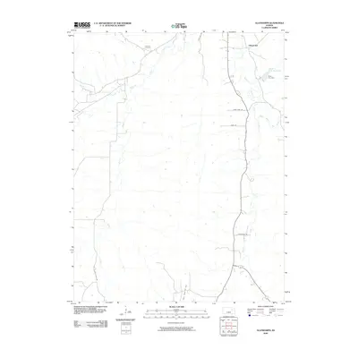 2009 Allendorph2009 Print · USGSWabaunsee County at the turn of the millennium shows a landscape defined by the winding tributaries of Mill Creek and a quiet rural infrastructure. Researchers can trace local landmarks like Fairview Cemetery, the Alma City Reservoir, and the Davis Ranch Oil Field.
 - 2009 Map of Lake Wabaunsee, 2009 Print
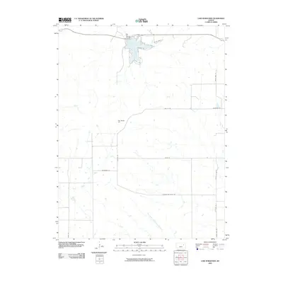 2009 Lake Wabaunsee2009 Print · USGSWabaunsee County at the turn of the 21st century centers on the waters of Lake Wabaunsee and its surrounding ranch lands. Genealogists and local historians can trace family-named routes and landmarks like Wildau Ranch Ln, Gun Barrel Hill, and the Eskridge City Dam.
Showing maps 1-25 of 26
Top cities of Wabaunsee County
- Newbury historical maps
- Alma historical maps
- Wilmington historical maps
- Eskridge historical maps
- Maple Hill historical maps
- Wabaunsee historical maps
See more
Frequently asked questions
- What are the different types of historical maps available for Wabaunsee County?
- What is the oldest map of Wabaunsee County?
- Where can I purchase historical maps of Wabaunsee County for my home or office?
- Where can I download high-res historical maps of Wabaunsee County?
- Are there historical topographic maps available for Wabaunsee County?
- Is there historical aerial imagery available for Wabaunsee County?
- Where are historical maps of Wabaunsee County sourced from?