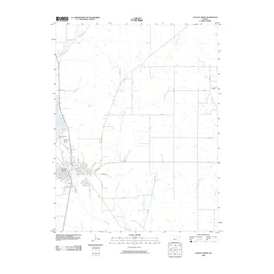
2009 Map of Council Grove
USGS Topo · Published 2009About this map
Council Grove serves as the focal point of this 2009 survey, situated where the Neosho River meets the expansive Council Grove Lake. The map details the town's street grid, including historic routes like Old Hwy 56 and Old Hwy 4, which trace the evolution of travel in Morris County. North of the Council Grove Dam, the landscape transitions into a network of section-line roads and creek drainages that define this portion of the Flint Hills region.
Find a feature on this map
41 named features on this map. Tap any name to fly to it.
Don’t see what you’re looking for? This feature index may not catch every label — zoom into the map to look around manually.
Map Details
Editions of this 2009 Council Grove Map
This is the sole edition of this map. No revisions or reprints were ever made.
Other maps of this area

1885 · Eskridge
USGS Topo · 1:125,000

1889 · Parkerville
USGS Topo · 1:125,000

1889 · Eskridge
USGS Topo · 1:125,000

1894 · Eskridge
USGS Topo · 1:125,000

1894 · Parkerville
USGS Topo · 1:125,000

1955 · Hutchinson
USGS Topo · 1:250,000

1959 · Hutchinson
USGS Topo · 1:250,000

1971 · Alta Vista SE
USGS Topo · 1:24,000

1971 · Bushong
USGS Topo · 1:24,000

1971 · Alta Vista
USGS Topo · 1:24,000