Old Maps of Kevil, Kentucky for Academic Research
Study the evolution of Kevil with 24 high-resolution historic maps. Whether you're teaching, researching, or modeling changes in land use, these maps provide essential visual documentation of urban, environmental, and geographic change.
- Analyze long-term change: Track patterns in development, transportation, and natural features.
- Ideal for environmental or urban studies: Support academic projects with primary historical map data.
- Use in the classroom or lab: Educators and researchers rely on these maps to bring historical context to life.
These maps are a powerful tool for teaching, research, and visualizing how Kevil has changed over the decades.
Kevil, KY maps
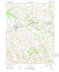
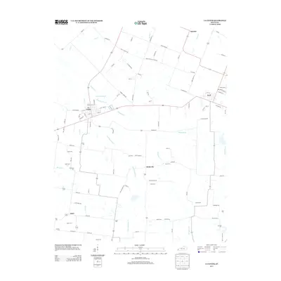
(24)- 1928 Map of La Center, 1964 Print
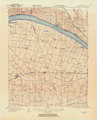 1928 La Center1964 Print · USGSWestern Kentucky and Southern Illinois meet along the Ohio River in the late twenties, showing a landscape of small farming hamlets and river landings. Researchers can locate dozens of family-named schools and churches like Gum Corners Sch, Monkeys Eyebrow, and Ohio Chapel.
 - 1932 Map of La Center
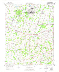
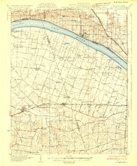 1932 La Center1932 Print · USGSWestern Kentucky and southern Illinois meet along the Ohio River in the early 1930s, showing a landscape of river landings and rail-side towns. Genealogists can trace family roots through numerous rural landmarks like Monkeys Eyebrow, Hinkleville, and Gum Corners Sch.
 - 1949 Map of Paducah
 1949 Paducah1949 Print · USGSThe confluence of the Ohio, Mississippi, Tennessee, and Cumberland rivers at the close of the 1940s reveals a region bound by water and rail. Researchers can trace historic river landings, timberlands in the Shawnee National Forest, and the coal-mining infrastructure around West Frankfort and Herrin.2 unique versions available
 - 1950 Map of Paducah
 1950 Paducah1950 Print · USGSThe confluence of the great midwestern rivers defines this mid-century landscape at the intersection of Illinois, Kentucky, and Missouri. Genealogists and historians can trace the rail-and-river economy through the hubs of Paducah, Cairo, and Metropolis or locate family roots near the Wildcat Hills.
 - 1954 Map of Paducah
 1954 Paducah1954 Print · USGSSouthern Illinois and Western Kentucky intersect at the great river confluences during this mid-century era of rail and river industry. Genealogists and historians can trace family roots and commerce through river towns like Cairo, Metropolis, and Golconda, or along the tracks of the Illinois Central Railroad.2 unique versions available
 - 1954 Map of La Center, 1955 Print
 1954 La Center1955 Print · USGSWestern Kentucky farming communities thrive along the Illinois Central rail line during the mid-fifties. Genealogists can trace family roots through numerous landmarks like Ballard Memorial Sch and several family burial grounds including Skinner Cem and Pollock Cem.
 - 1954 Map of Heath, 1955 Print
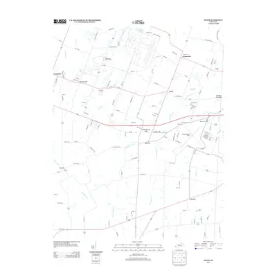
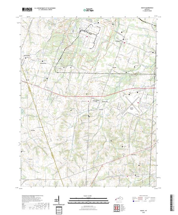
 1954 Heath1955 Print · USGSMcCracken County in the mid-1950s shows a landscape of defense-era growth and deep-rooted rural communities. Researchers can trace the legacy of industrial sites like the Old Kentucky Ordnance Works or find family landmarks at Future City, Carneal Chapel, and Palestine Cem.
 - 1961 Map of Paducah
 1961 Paducah1961 Print · USGSThe Lower Ohio Valley at mid-century is a landscape defined by its great rivers and newly formed reservoirs. Researchers can trace the riverfronts of Paducah and Metropolis, or locate smaller settlements like Old Shawneetown and Cave in Rock along the banks.2 unique versions available
 - 1964 Map of Paducah
 1964 Paducah1964 Print · USGSThe river-and-rail corridor of Southern Illinois and Western Kentucky is captured here during the height of the mid-century industrial era. Genealogists and researchers can trace local landmarks across several counties, from the rail yards of Paducah to the waters of Crab Orchard Lake and Kentucky Reservoir.2 unique versions available
 - 1975 Map of La Center, 1977 Print
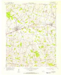
 1975 La Center1977 Print · USGSBallard County's agricultural and rail landscape is captured here in the mid-seventies as it transitions through La Center and Kevil. Genealogists and local historians can trace family plots like Terrell Cem and early landmarks such as Antioch Ch or the Fairground.
 - 1978 Map of Heath
 1978 Heath1978 Print · USGSMcCracken and Ballard counties in the late 1970s reveal a landscape defined by massive industrial energy plants and rural crossroad communities. Researchers can locate family landmarks like Bethel Church and Kelley Cemetery or trace the Illinois Central Gulf rail line.
 - 1984 Map of Paducah, 1986 Print
 1984 Paducah1986 Print · USGSThe river-driven economy of western Kentucky and southern Illinois is captured here in the mid-eighties, showing the massive impact of the Kentucky Lake and Lake Barkley reservoirs. Genealogists and historians can trace rail lines like the Illinois Central Gulf RR and explore sites from Fort Massac State Park to the Kentucky State Penitentiary.
 - 1986 Map of Paducah, 1987 Print
 1986 Paducah1987 Print · USGSThe tri-river confluence of the Ohio, Tennessee, and Cumberland rivers is captured here in the mid-1980s during a period of established river power and industry. Researchers can trace local heritage through landmarks like Friendship Church, the Smithland Locks and Dam, and the Illinois Central Gulf RR.
 - 1987 Map of Paducah, 1988 Print
 1987 Paducah1988 Print · USGSThe Lower Ohio Valley and the Illinois Ozarks come alive in this late twentieth-century regional survey. Genealogists and local historians can trace river-town roots and state park landmarks from Metropolis to Cape Girardeau and Trail of Tears State Park.
 - 2010 Map of La Center, 2010 Print
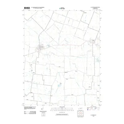 2010 La Center2010 Print · USGSCovers Kevil, including La Center, Ingleside, and other nearby areas
 - 2010 Map of Heath, 2010 Print
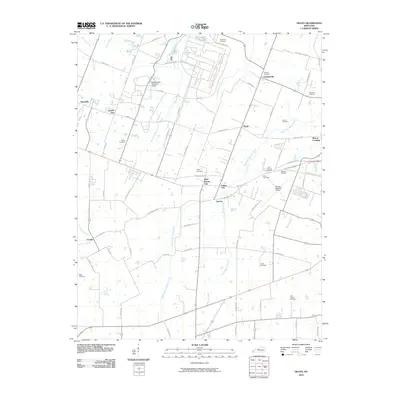 2010 Heath2010 Print · USGSCovers Kevil, including Maxon Crossing, Ceredo, and other nearby areas
 - 2013 Map of La Center, 2013 Print
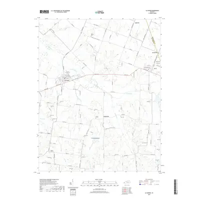
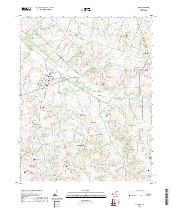
 2013 La Center2013 Print · USGSCovers Kevil, including La Center, Ingleside, and other nearby areas
 - 2013 Map of Heath, 2013 Print
 2013 Heath2013 Print · USGSCovers Kevil, including Maxon Crossing, Ceredo, and other nearby areas
 - 2016 Map of La Center, 2016 Print
 2016 La Center2016 Print · USGSCovers Kevil, including La Center, Ingleside, and other nearby areas
 - 2016 Map of Heath, 2016 Print
 2016 Heath2016 Print · USGSCovers Kevil, including Maxon Crossing, Ceredo, and other nearby areas
 - 2019 Map of Heath, 2019 Print
 2019 Heath2019 Print · USGSCovers Kevil, including Maxon Crossing, Ceredo, and other nearby areas
 - 2019 Map of La Center, 2019 Print
 2019 La Center2019 Print · USGSCovers Kevil, including La Center, Ingleside, and other nearby areas
 - 2022 Map of La Center, 2022 Print
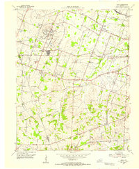
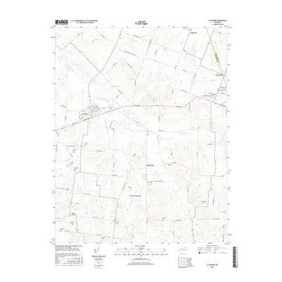
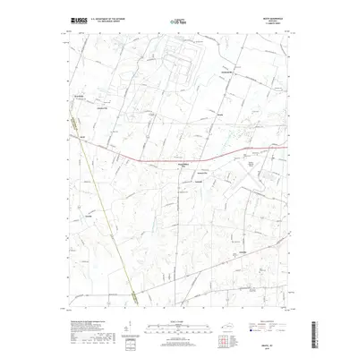
 2022 La Center2022 Print · USGSWestern Kentucky's Ballard County communities are captured here in the early twenty-first century, showing a landscape of small towns and agricultural heritage. Researchers can locate numerous family burial sites like Bondurant Family Cem and Saint Marys Cem near La Center.
 - 2022 Map of Heath, 2022 Print
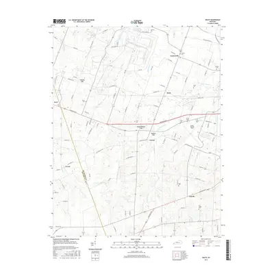
 2022 Heath2022 Print · USGSMcCracken County at the start of the 2020s shows a landscape of long-standing family settlements and horse trails near the western edge of Kentucky. You can trace the development of Barkley Regional Airport alongside cemeteries like Oddfellow Cem and the Arthur-Curtis Horse Trl.
End of results
Showing maps 1-24 of 24
Top cities near Kevil
- Paducah historical maps
- Metropolis historical maps
- La Center historical maps
- Bardwell historical maps
- Wickliffe historical maps
- Barlow historical maps
See more
Frequently asked questions
- What are the different types of historical maps available for Kevil?
- What is the oldest map of Kevil?
- Where can I purchase historical maps of Kevil for my home or office?
- Where can I download high-res historical maps of Kevil?
- Are there historical topographic maps available for Kevil?
- Is there historical aerial imagery available for Kevil?
- Where are historical maps of Kevil sourced from?