Old Maps of Bell County, Kentucky for Hiking & Exploration
Hike through history with 131 historic maps of Bell County. Explore old trails, ghost towns, and forgotten backroads — perfect for outdoor adventurers and local explorers.
- Rediscover forgotten places: Map out old mining camps, roads, and footpaths that no longer exist on modern maps.
- Layer with modern tools: Combine with LiDAR or satellite views to plan hikes through historical terrain.
- Made for exploration: Popular among hikers, overlanders, and local history lovers.
Use these maps to find adventure and explore the hidden past of Bell County.
Bell County, KY maps
(131)- 1886 Map of Cumberland Gap
 1886 Cumberland Gap1886 Print · USGSThe tri-state border region around the Cumberland Gap appears here in the 1880s, before modern development transformed these mountain passes. Genealogists and historians can trace early river crossings and settlements like Flat Lick, Tye Ferry, and Campbell Ford.
 - 1887 Map of Jonesville
 1887 Jonesville1887 Print · USGSThe rugged borderlands of Virginia, Kentucky, and Tennessee are captured in the late nineteenth century during a time of isolated valley settlements. Genealogists and historians can trace family locations near Jonesville, Sneedville, and the remote Kyle's Ford along the Powell River.
 - 1888 Map of Cumberland Gap
 1888 Cumberland Gap1888 Print · USGSThe tri-state wilderness of the Appalachians is captured in the late 1880s, centered on the strategic crossing at the Cumberland Gap. Trace the early river-and-road economy through features like Tye's Ferry, McHenry Ford, and the old town sites of Barboursville and Pineville.
 - 1891 Map of Cumberland Gap
 1891 Cumberland Gap1891 Print · USGSThe tri-state mountain corridor appears here in the late nineteenth century, showing the critical gateways through the Cumberland Mountains. Researchers can trace early river crossings like Mshenry Ford and historic settlements such as Barboursville and Pineville.7 unique versions available
 - 1891 Map of Jonesville
 1891 Jonesville1891 Print · USGSThe tri-state borderlands of Virginia, Kentucky, and Tennessee are captured here in the late nineteenth century. Researchers can trace early river crossings and mountain settlements like Poteet Ford, Shafers P.O., and Mt Pleasant.9 unique versions available
 - 1903 Map of Harlan
 1903 Harlan1903 Print · USGSThe Harlan highlands are captured at the start of the twentieth century, showing the mountain landscape before industrial mining changed the region. Genealogists can trace early homesteads and drainage ways in the valleys near Harlan, Gray, and Puckett Creek.
 - 1903 Map of Pineville
 1903 Pineville1903 Print · USGSThe Cumberland Gap region in the early 1900s was a landscape defined by its formidable ridges and vital river passages. Trace the steep ascent of Cumberland Mountain and the winding course of the Cumberland River as they appeared over a century ago.
 - 1903 Map of Middlesboro
 1903 Middlesboro1903 Print · USGSMiddlesboro sits at the gateway to the mountains in this early century survey of the Kentucky, Tennessee, and Virginia borders. Researchers can trace early migration routes and mountain passes like the famous Cumberland Gap, Baptist Gap, and Yellow Slip Gap.
 - 1916 Map of Harlan
 1916 Harlan1916 Print · USGSHarlan and the Cumberland River valley are captured here in the years before the coal boom fully reshaped the landscape. Researchers can trace early settlements like White Star and Black Joe, find the Pine Branch School, and locate mountain inclines.
 - 1919 Map of Harlan
 1919 Harlan1919 Print · USGSHarlan County's coal country is captured here during the expansion of the rail-and-river economy. Genealogists and historians can trace the foundations of mountain communities along the Cumberland River, locating early sites like Wallins Creek, Kentenia, and the Wood Sta Blackjoe PO.4 unique versions available
 - 1927 Map of Middlesboro, 1955 Print
 1927 Middlesboro1955 Print · USGSThe Cumberland Gap region comes alive in this survey from the late 1920s, showing the intersection of three states and the rugged rail networks that shaped it. Trace family roots and local industry at Gibson Station PO, Lincoln Memorial University, and Ellison Mill.
 - 1930 Map of Middlesboro
 1930 Middlesboro1930 Print · USGSThe tri-state border region comes alive in the late 1920s, centered on the strategic mountain pass at Cumberland Gap. Genealogists and historians can trace family locations near Middlesboro, early campus sites at Lincoln Memorial University, and rural landmarks like Ellison Mill.4 unique versions available
 - 1932 Map of Hagan
 1932 Hagan1932 Print · USGSThe rugged borderlands of Kentucky and Virginia come to life in this early 1930s survey of the high gaps and hollows. Researchers can locate remote mountain landmarks like Hensley Sch, Feepee Store, and the scattered cabins at Alva.3 unique versions available
 - 1935 Map of Ewing
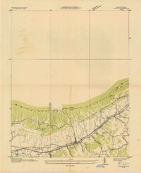 1935 Ewing1935 Print · USGSThe Virginia-Kentucky borderlands in the mid-1930s are captured here, centered on the settlement of Ewing and the passage through Poor Valley. Trace the path of the Old Wilderness Trail and locate family landmarks like Mc Lin Cem and Arthur Chapel.
 - 1935 Map of Varilla
 1935 Varilla1935 Print · USGSThe Kentucky and Virginia state line was defined by the high ridgelines of the Appalachians in the mid-1930s. Genealogists can trace family landmarks and rural infrastructure including Ely Cem, Woodvine Sch, and the Trent Siding along the rail line.
 - 1935 Map of Mingo Mountains
 1935 Mingo Mountains1935 Print · USGSClaiborne County, Tennessee, is captured in the mid-1930s as the Tennessee Valley Authority began its work in the region. Researchers can locate family landmarks like Alexander Cem, the Powell Valley Sch, and the waters of Van Babber Spring.
 - 1935 Map of Cumberland Gap
 1935 Cumberland Gap1935 Print · USGSThe tri-state corner of Tennessee, Kentucky, and Virginia comes alive in the mid-1930s as the Tennessee Valley Authority begins transforming the Powell River valley. Trace the legendary Wilderness Trail past Lincoln Memorial University or locate family sites like Minton Mill and Sproles Chapel Sch.
 - 1946 Map of Ewing, 1962 Print
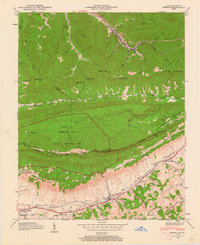 1946 Ewing1962 Print · USGSThe tri-state border country of Virginia and Kentucky comes alive here in the mid-1940s as the Cumberland Gap National Historical Park is established. Trace local family history through Ball Cem and Richmond Cem, or locate long-standing landmarks like Kesterson Mill and Chattels Station Ch.6 unique versions available
 - 1949 Map of Ewing
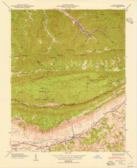 1949 Ewing1949 Print · USGSThe Kentucky and Virginia borderlands come to life in this mid-century survey of the Cumberland Gap region. Researchers can trace ancestral roots through dozens of family cemeteries like Richmond Cem or locate old industrial sites such as Cowan Mill and the County Industrial Sch.2 unique versions available
 - 1950 Map of Mingo Mountains
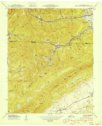 1950 Mingo Mountains1950 Print · USGSThe Kentucky-Tennessee borderlands appear here at mid-century, capturing the coal-mining settlements and mountain hollows of the Appalachians. Researchers can trace family sites and local landmarks like Rising Spring Church, Manring, and Watson Cem.
 - 1952 Map of Frakes, 1954 Print
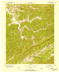 1952 Frakes1954 Print · USGSThe rugged borderlands of Whitley, Knox, and Bell counties are captured in the early fifties, showing a landscape of isolated ridges and tight hollows. Genealogists can locate family landmarks like the Croley Cemetery and the notable Henderson Settlement School.2 unique versions available
 - 1952 Map of Artemus, 1954 Print
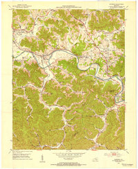 1952 Artemus1954 Print · USGSKnox County's river-and-rail corridor is captured here in the early fifties, showing the interplay between small-town life and the energy industry. Researchers can trace family roots at Binghamtown Cem or locate vanished landmarks like the Turkey Creek Mission and Boone Heights.2 unique versions available
 - 1952 Map of Davisburg, 1954 Print
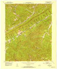 1952 Davisburg1954 Print · USGSBell County coal country in the early fifties shows a rugged landscape of rail-served hollows and mountain-top lookouts. Genealogists can locate several family cemeteries and country schools like Old Carroll Cem, Hignite Sch, and the Davisburg School.
 - 1953 Map of Eagan, 1955 Print
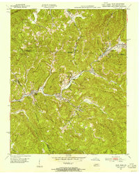 1953 Eagan1955 Print · USGSThe Tennessee-Kentucky border was a bustling coal-mining corridor in the early fifties, defined by rail-dependent valley towns and mountain ridge extractions. Genealogists and historians can trace family locations near Buffalo Sch, Partin Cem, and the mining communities of Eagan and Pruden.3 unique versions available
 - 1954 Map of Helton, 1955 Print
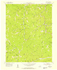 1954 Helton1955 Print · USGSLeslie County mountain life in the mid-1950s was centered on the hollows and mountain gaps of the Cumberland Plateau. Genealogists can trace a remarkable network of neighborhood schools like Beech Fork Sch and Salt Trace Sch, alongside landmarks like Honey Branch Cem.2 unique versions available
Showing maps 1-25 of 131
Top cities of Bell County
Frequently asked questions
- What are the different types of historical maps available for Bell County?
- What is the oldest map of Bell County?
- Where can I purchase historical maps of Bell County for my home or office?
- Where can I download high-res historical maps of Bell County?
- Are there historical topographic maps available for Bell County?
- Is there historical aerial imagery available for Bell County?
- Where are historical maps of Bell County sourced from?