Old Maps of Paris, Kentucky for Metal Detecting
Plan your next treasure hunt with 17 historic maps of Paris. Find old homesites, ghost towns, trails, and gathering spots that may be lost to time — perfect for identifying promising metal detecting locations.
- Locate forgotten sites: Uncover places like long-lost settlements, abandoned rail lines, or gathering spots.
- Plan better hunts: Use map overlays combined with LiDAR or satellite views to narrow in on historically rich areas.
- Made for detectorists: Thousands of hobbyists use these maps to discover relics, coins, and hidden history.
Use these historic maps to boost your research and find new opportunities beneath the surface of Paris.
Paris, KY maps
(17)- 1927 Map of Lexington
 1927 Lexington1927 Print · USGSCentral Kentucky's Bluegrass region in the late twenties was a landscape of influential pikes and rural rail junctions. Genealogists can trace family-named settlements like Mattoxtown and Uttingertown or find local landmarks like Antioch Ch.
 - 1929 Map of Lexington
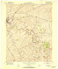
 1929 Lexington1929 Print · USGSThe heart of the Kentucky Bluegrass comes to life in the late twenties, centered on the growing urban hubs of Lexington and Paris. Researchers can locate ancestral crossroads and rural institutions like Russell Cave Sch, Antioch Ch, and the grounds of Elmendorf.2 unique versions available
 - 1952 Map of Paris East, 1953 Print
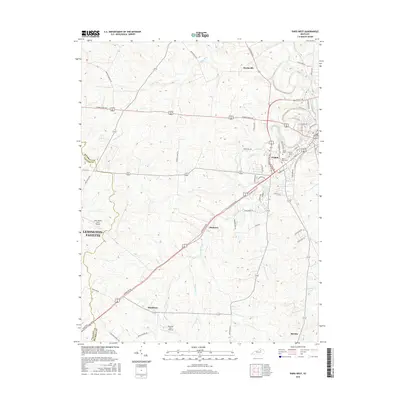
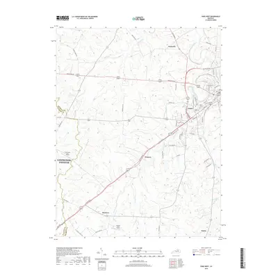
 1952 Paris East1953 Print · USGSBourbon County’s agricultural heartland is documented here in the early fifties, centered on the expansion of Paris and its surrounding countryside. Genealogists and local historians can trace the Louisville and Nashville rail line and locate landmarks like Spears Mill Ch and the Clay Cem.4 unique versions available
 - 1954 Map of Paris West, 1955 Print
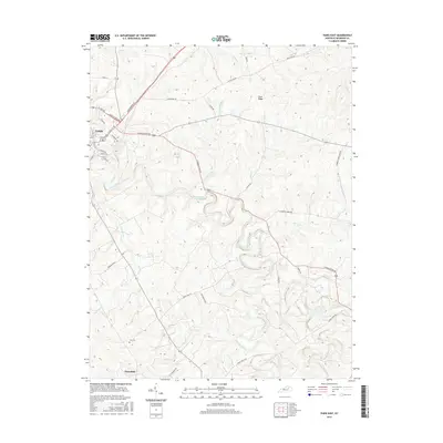
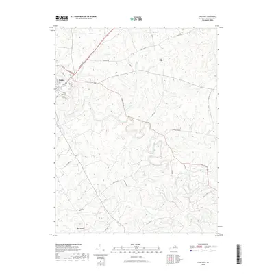
 1954 Paris West1955 Print · USGSThe Bluegrass country of Bourbon County is shown here in the mid-1950s, centered on the growing town of Paris. Genealogists can trace family footprints through rural landmarks like Elizabeth Station, Hopewell Ch, and Mt Olive Cem along the historic rail lines.4 unique versions available
 - 1956 Map of Louisville, 1971 Print
 1956 Louisville1971 Print · USGSThe Ohio River valley and the Kentucky Bluegrass are captured here during a period of rapid mid-century growth and industrial activity. Genealogists and historians can trace rail-centered towns and military land use at Fort Knox and the Jefferson Proving Ground.2 unique versions available
 - 1964 Map of Louisville
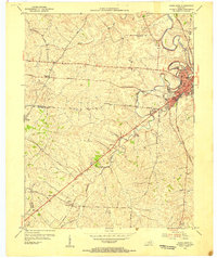
 1964 Louisville1964 Print · USGSThe Ohio River valley and Kentucky Bluegrass are captured in the mid-1960s, showing a region balanced between industrial growth and its agrarian roots. Genealogists and historians can trace the development of county seats like Shelbyville and Paris, or locate established institutions such as Georgetown College and Bernheim Forest.
 - 1986 Map of Lexington
 1986 Lexington1986 Print · USGSCentral Kentucky’s Bluegrass region is captured in the mid-eighties as urban centers like Lexington and Frankfort expand alongside deep-rooted rural hubs. Researchers can trace historic rail lines like the Southern Railway and find landmarks such as the Lexington Blue Grass Army Depot and Tacketts Mill.
 - 2010 Map of Paris East, 2010 Print
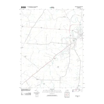
 2010 Paris East2010 Print · USGSCovers Paris, including Escondida, Bourbon County, and other nearby areas
 - 2010 Map of Paris West, 2010 Print
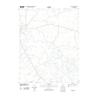
 2010 Paris West2010 Print · USGSCovers Paris, including Lexington, Hutchison, and other nearby areas
 - 2013 Map of Paris West, 2013 Print
 2013 Paris West2013 Print · USGSCovers Paris, including Lexington, Hutchison, and other nearby areas
 - 2013 Map of Paris East, 2013 Print
 2013 Paris East2013 Print · USGSCovers Paris, including Escondida, Bourbon County, and other nearby areas
 - 2016 Map of Paris West, 2016 Print
 2016 Paris West2016 Print · USGSCovers Paris, including Lexington, Hutchison, and other nearby areas
 - 2016 Map of Paris East, 2016 Print
 2016 Paris East2016 Print · USGSCovers Paris, including Escondida, Bourbon County, and other nearby areas
 - 2019 Map of Paris West, 2019 Print
 2019 Paris West2019 Print · USGSCovers Paris, including Lexington, Hutchison, and other nearby areas
 - 2019 Map of Paris East, 2019 Print
 2019 Paris East2019 Print · USGSCovers Paris, including Escondida, Bourbon County, and other nearby areas
 - 2022 Map of Paris East, 2022 Print
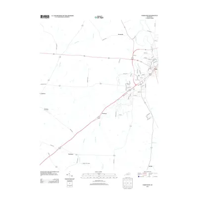
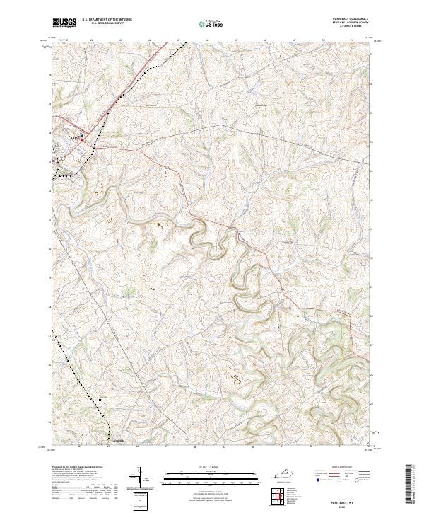 2022 Paris East2022 Print · USGSCentral Kentucky's bluegrass country unfolds across this 2022 survey of eastern Bourbon County. Genealogists can locate Clay Cem and the community of Escondida, or trace old family tracts like Winburn Farm along Stoner Creek.
 - 2022 Map of Paris West, 2022 Print
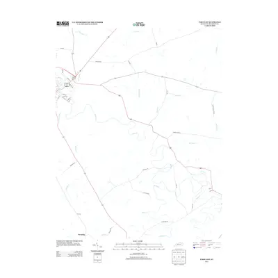
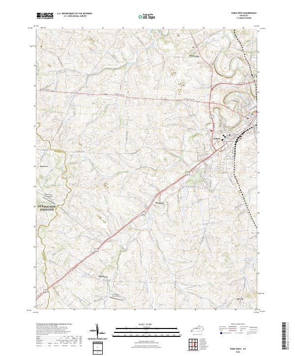 2022 Paris West2022 Print · USGSThe rolling horse country of Bourbon County is captured here in the early 2020s, centered on the community of Paris. Genealogists and local historians can trace burial sites like Mount Olivet Catholic Cemetery or locate rural hubs like Jimtown and Hutchison.
End of results
Showing maps 1-17 of 17
Top cities near Paris
- Lexington historical maps
- Winchester historical maps
- Cynthiana historical maps
- Carlisle historical maps
- Millersburg historical maps
- North Middletown historical maps
Frequently asked questions
- What are the different types of historical maps available for Paris?
- What is the oldest map of Paris?
- Where can I purchase historical maps of Paris for my home or office?
- Where can I download high-res historical maps of Paris?
- Are there historical topographic maps available for Paris?
- Is there historical aerial imagery available for Paris?
- Where are historical maps of Paris sourced from?