
1952 Map of Paris East
USGS Topo · Published 1953About this map
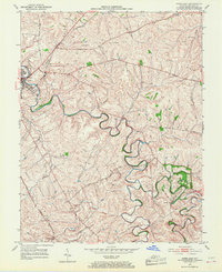
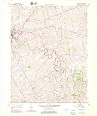
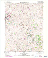
The city of Paris serves as the focal point of this 1952 topographic study, situated where the Louisville and Nashville railroad corridor meets the winding path of Stoner Creek. The landscape is defined by the high ground of Cane Ridge to the north and a dense network of watercourses, including Strodes Creek and Kennedy Creek, that drain the fertile agricultural lands of Bourbon County. This survey provides a precise record of the rural infrastructure during the early 1950s, showing the distribution of family landmarks and local institutions. Genealogists will find particular value in the location of the Clay Cem and the Spears Mill Ch, alongside the small settlement of Escondida in the southern portion of the quadrangle. The map captures the area just as modern utility infrastructure, such as the Sewage Disposal plant near the city, began to appear alongside traditional livestock-raising terrain.
Find a feature on this map
20 named features on this map. Tap any name to fly to it.
Don’t see what you’re looking for? This feature index may not catch every label — zoom into the map to look around manually.
Map Details
Editions of this 1952 Paris East Map
4 editions found
Other maps of this area

1927 · Lexington
USGS Topo · 1:48,000

1929 · Cynthiana
USGS Topo · 1:48,000

1929 · Lexington
USGS Topo · 1:62,500

1934 · Cynthiana
USGS Topo · 1:62,500

1952 · Clintonville
USGS Topo · 1:24,000

1952 · Austerlitz
USGS Topo · 1:24,000

1952 · North Middletown
USGS Topo · 1:24,000
1952 · Sideview
USGS Topo · 1:24,000

1953 · Carlisle
USGS Topo · 1:24,000

1953 · Millersburg
USGS Topo · 1:24,000