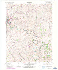
1952 Map of Paris East
USGS Topo · Published 1987About this map
Stoner Creek meanders sharply through the heart of Bourbon County, carving deep loops into the limestone landscape east of Paris. This 1952 survey, with photorevisions from 1987, reveals a quintessential Bluegrass region terrain defined by the sweeping Cane Ridge and an intricate network of waterways like Strodes Creek and Huston Creek. The cultural landscape is marked by the L & N RR corridor and a traditional settlement pattern where country roads like Jackstown Road connect outlying landmarks. A small community hub persists at Spears Mill Ch, while the southern reaches show the quiet rail-side location of Escondida. The map also documents mid-century additions to the urban fringe of Paris, including a Golf Course and a Drive-in Theater, illustrating the gradual expansion of the town into the surrounding agricultural acreage.
Find a feature on this map
22 named features on this map. Tap any name to fly to it.
Don’t see what you’re looking for? This feature index may not catch every label — zoom into the map to look around manually.
Map Details
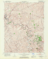
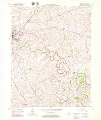
Editions of this 1952 Paris East Map
4 editions found
Other maps of this area

1927 · Lexington
USGS Topo · 1:48,000

1929 · Cynthiana
USGS Topo · 1:48,000

1929 · Lexington
USGS Topo · 1:62,500

1934 · Cynthiana
USGS Topo · 1:62,500

1952 · Paris East
USGS Topo · 1:24,000

1952 · Clintonville
USGS Topo · 1:24,000

1952 · Austerlitz
USGS Topo · 1:24,000

1952 · North Middletown
USGS Topo · 1:24,000
1952 · Sideview
USGS Topo · 1:24,000

1953 · Carlisle
USGS Topo · 1:24,000