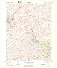
1952 Map of Paris East
USGS Topo · Published 1979About this map
Stoner Creek meanders through the heart of Bourbon County, carving deep loops into the limestone landscape east of Paris. This mid-century survey captures a region defined by its productive agricultural uplands and the winding river valleys that divide them. The prominent Cane Ridge plateau occupies the northern half of the map, a landscape long associated with early Kentucky settlement and religious history. The Louisville and Nashville railroad cuts a straight path across the western corner, providing a stark contrast to the serpentine paths of Strodes Creek and Harrods Creek. Modern 1970s updates reveal the post-war growth of the region, including a Drive-in Theater and Race track on the outskirts of town, while the rural interior remains anchored by locations like Spears Mill Ch and the small settlement at Jackstown.
Find a feature on this map
25 named features on this map. Tap any name to fly to it.
Don’t see what you’re looking for? This feature index may not catch every label — zoom into the map to look around manually.
Map Details
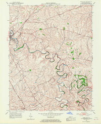
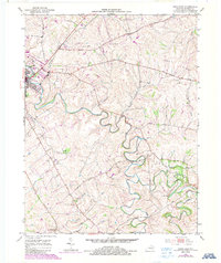
Editions of this 1952 Paris East Map
4 editions found
Other maps of this area

1927 · Lexington
USGS Topo · 1:48,000

1929 · Cynthiana
USGS Topo · 1:48,000

1929 · Lexington
USGS Topo · 1:62,500

1934 · Cynthiana
USGS Topo · 1:62,500

1952 · Paris East
USGS Topo · 1:24,000

1952 · Clintonville
USGS Topo · 1:24,000

1952 · Austerlitz
USGS Topo · 1:24,000

1952 · North Middletown
USGS Topo · 1:24,000
1952 · Sideview
USGS Topo · 1:24,000

1953 · Carlisle
USGS Topo · 1:24,000