Old Maps of Cloverport, Kentucky for Academic Research
Study the evolution of Cloverport with 20 high-resolution historic maps. Whether you're teaching, researching, or modeling changes in land use, these maps provide essential visual documentation of urban, environmental, and geographic change.
- Analyze long-term change: Track patterns in development, transportation, and natural features.
- Ideal for environmental or urban studies: Support academic projects with primary historical map data.
- Use in the classroom or lab: Educators and researchers rely on these maps to bring historical context to life.
These maps are a powerful tool for teaching, research, and visualizing how Cloverport has changed over the decades.
Cloverport, KY maps
(20)- 1934 Map of Cannelton
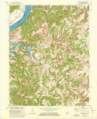
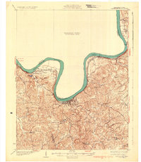 1934 Cannelton1934 Print · USGSThe Ohio River corridor between Indiana and Kentucky comes to life in this mid-1930s survey of the riverfront and its rugged hinterlands. Genealogists can trace family footprints through a dense network of country schools and churches, from St Johns Ch and New Bethel Ch to rural outposts like Mattingly PO.2 unique versions available
 - 1953 Map of Cloverport, 1955 Print
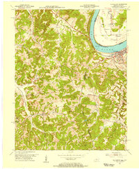 1953 Cloverport1955 Print · USGSThe Ohio River valley and the rugged interior of Breckinridge County come into focus in the early 1950s. Genealogists and historians can trace family locations near Cloverport, Patesville, and Harris Memorial Ch, or locate old Oil Wells along the ridges.2 unique versions available
 - 1953 Map of Mattingly, 1955 Print
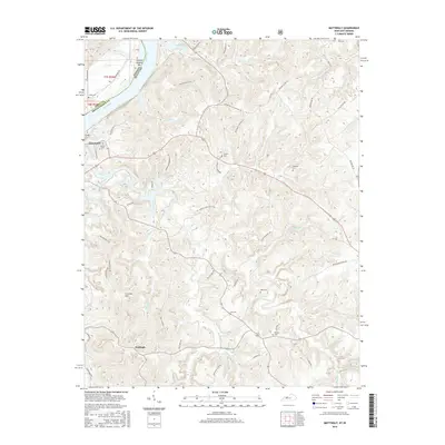
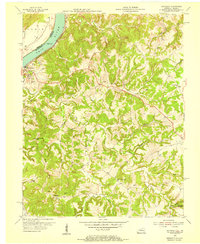 1953 Mattingly1955 Print · USGSBreckinridge County, Kentucky, and the Indiana riverfront are captured here in the early 1950s. Genealogists and historians can trace family roots through numerous sites like Calvary Cem, New Bethel Ch, and the rural community of Mattingly.
 - 1954 Map of Evansville
 1954 Evansville1954 Print · USGSThe Ohio River borderlands between Indiana and Kentucky appear here during a period of robust industrial and military growth. Genealogists and researchers can trace the rail corridors of the Illinois Central and find landmarks like US Lock and Dam No 48 or Camp Breckinridge.
 - 1957 Map of Evansville, 1969 Print
 1957 Evansville1969 Print · USGSIndiana and Kentucky meet along the Ohio River in this mid-century survey of a vital industrial and transport corridor. Genealogists and historians can trace the development of river towns like Owensboro and Newburgh or locate old rail lines like the Southern Ry.3 unique versions available
 - 1961 Map of Evansville
 1961 Evansville1961 Print · USGSThe Ohio River valley and its surrounding coalfields are captured here during the late fifties and early sixties. Trace the industrial rail networks of the Illinois Central RR and explore regional landmarks like Mammoth Cave National Park and Angel Mounds State Memorial.2 unique versions available
 - 1970 Map of Cloverport, 1972 Print
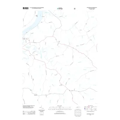
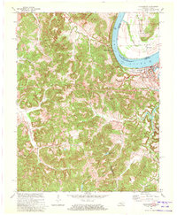 1970 Cloverport1972 Print · USGSThe banks of the Ohio River in the early 1970s reveal a mix of river-town industry and rural ridge-top life. Genealogists and historians can trace old homesteads and landmarks near Cloverport, Patesville, and the Harris Memorial Cemetery.2 unique versions available
 - 1970 Map of Mattingly, 1972 Print
 1970 Mattingly1972 Print · USGSBreckinridge County sits along the Ohio River during the early seventies, centered on the historic rail town of Cloverport. Local historians can trace family ties at rural landmarks like Mattingly, New Bethel Ch, and the Chapin Cem.2 unique versions available
 - 1986 Map of Tell City
 1986 Tell City1986 Print · USGSThe Ohio River valley and the Kentucky interior come alive in this mid-eighties record of industry and recreation. Genealogists and historians can trace small rural settlements like Victoria Crossroads, local landmarks such as St Rose, and the extensive shoreline of Rough River Lake.
 - 1991 Map of Tell City
 1991 Tell City1991 Print · USGSThe Ohio River valley at the start of the nineties reveals a landscape of riverfront industry and sprawling conservation lands. Genealogists can locate family landmarks like Wesley Chapel and rural communities such as Reynolds Station and Maceo.
 - 2010 Map of Mattingly, 2010 Print
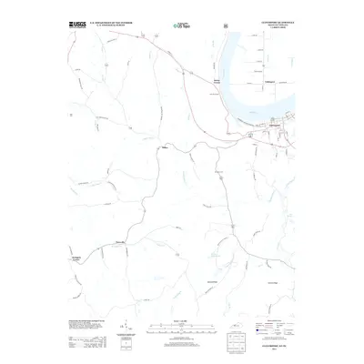
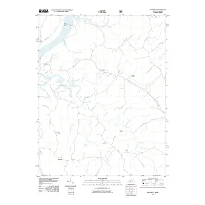 2010 Mattingly2010 Print · USGSCovers Cloverport, including Mattingly, Breckinridge County, and other nearby areas
 - 2011 Map of Cloverport, 2011 Print
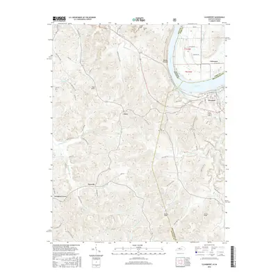
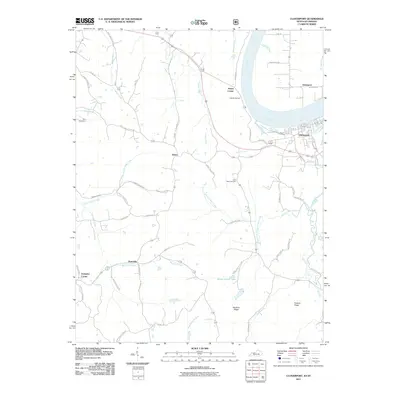 2011 Cloverport2011 Print · USGSCovers Cloverport, including Dukes, Sunny Corner, and other nearby areas
 - 2013 Map of Mattingly, 2013 Print
 2013 Mattingly2013 Print · USGSCovers Cloverport, including Mattingly, Breckinridge County, and other nearby areas
 - 2013 Map of Cloverport, 2013 Print
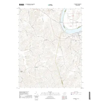
 2013 Cloverport2013 Print · USGSCovers Cloverport, including Dukes, Sunny Corner, and other nearby areas
 - 2016 Map of Mattingly, 2016 Print
 2016 Mattingly2016 Print · USGSCovers Cloverport, including Mattingly, Breckinridge County, and other nearby areas
 - 2016 Map of Cloverport, 2016 Print
 2016 Cloverport2016 Print · USGSCovers Cloverport, including Dukes, Sunny Corner, and other nearby areas
 - 2019 Map of Cloverport, 2019 Print
 2019 Cloverport2019 Print · USGSCovers Cloverport, including Dukes, Sunny Corner, and other nearby areas
 - 2019 Map of Mattingly, 2019 Print
 2019 Mattingly2019 Print · USGSCovers Cloverport, including Mattingly, Breckinridge County, and other nearby areas
 - 2022 Map of Cloverport, 2022 Print
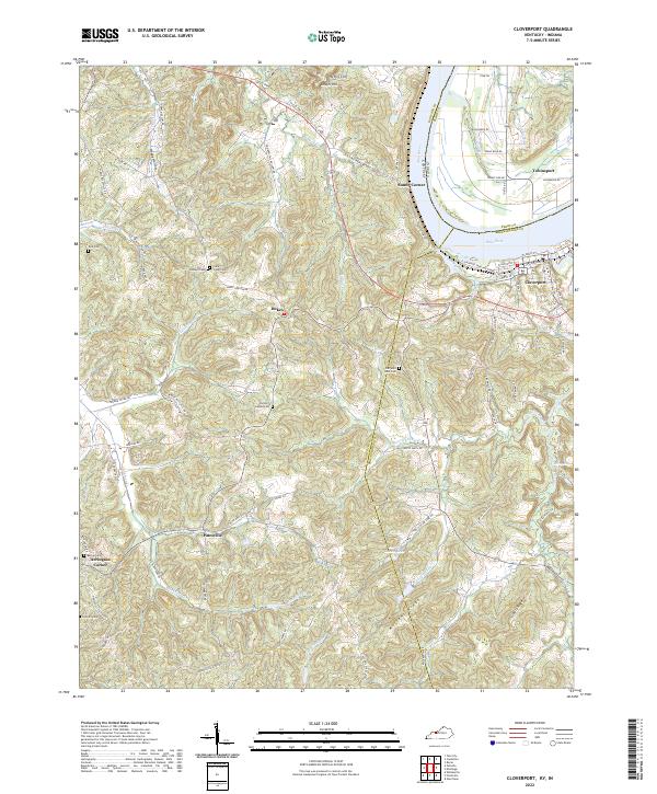 2022 Cloverport2022 Print · USGSThe Ohio River borderlands between Kentucky and Indiana are captured here as they appeared in the early 2020s. Genealogists can locate several rural burial sites, including Old Saint Rose Cem and Parson Easton Cem, near the settlement of Dukes.
 - 2022 Map of Mattingly, 2022 Print
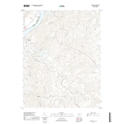
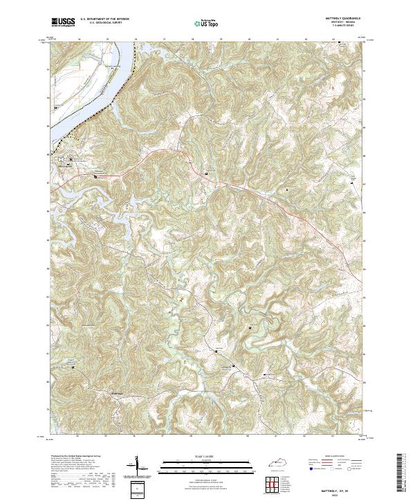 2022 Mattingly2022 Print · USGSBreckinridge County, Kentucky, at the bend of the Ohio River, shows a landscape defined by deep creek valleys and rural homesteads. Genealogists can trace family names through numerous burial sites like Murray Cemetery, Pate Cemetery, and Lamb Cemetery.
End of results
Showing maps 1-20 of 20
Top cities near Cloverport
- Tell City historical maps
- Hardinsburg historical maps
- Cannelton historical maps
- Hawesville historical maps
- Fordsville historical maps
- Troy historical maps
Frequently asked questions
- What are the different types of historical maps available for Cloverport?
- What is the oldest map of Cloverport?
- Where can I purchase historical maps of Cloverport for my home or office?
- Where can I download high-res historical maps of Cloverport?
- Are there historical topographic maps available for Cloverport?
- Is there historical aerial imagery available for Cloverport?
- Where are historical maps of Cloverport sourced from?