Old Maps of Bullitt County, Kentucky for Genealogy
Trace your family roots with 124 historic maps of Bullitt County. These high-res maps reveal old neighborhoods, homesites, landmarks, and streets — helping you uncover where your ancestors lived and how the area evolved over time.
- Explore historic neighborhoods: Identify where your relatives may have lived in the 1800s or 1900s.
- Compare maps over time: Trace the changes in streets, buildings, and landmarks for multi-generational research.
- Perfect for genealogy & ancestry research: Used by family historians and researchers to map out lineage and migration.
These maps are an incredible resource for exploring your personal connection to Bullitt County's past.
Bullitt County, KY maps
(124)- 1907 Map of Louisville
 1907 Louisville1907 Print · USGSLouisville and the rolling hills of Jefferson and Bullitt counties are captured here in the early 1900s. Researchers can trace ancestral connections through sites like Cave Hill Cemetery, Pleasant Grove Schoolhouse, and the river crossing at Bells Mill Ford.3 unique versions available
 - 1909 Map of Kosmosdale
 1909 Kosmosdale1909 Print · USGSSouthwest of Louisville at the turn of the century, the river valley meets the steep slopes of Muldraughs Hill. Researchers can trace early rural life through several family-named schoolhouses and small settlements like Kosmosdale, Valley Sta, and the County Infirmary.
 - 1912 Map of Kosmosdale
 1912 Kosmosdale1912 Print · USGSThe Ohio River valley and the Kentucky Knobs come alive in this pre-war survey, showing the expansion of southern Louisville and the rural hills of Jefferson and Bullitt counties. Researchers can locate vanished landmarks like Locust Point P.O. and the County Infirmary, or trace the old riverboat stops at Stewarts Landing.4 unique versions available
 - 1929 Map of Taylorsville
 1929 Taylorsville1929 Print · USGSSpencer and Shelby counties are shown here in the late twenties, where the Salt River meets a network of early rail and pike roads. Genealogists can trace family lands near Shiloh Church, Beechwood School, and the settlement of Simpsonville.2 unique versions available
 - 1936 Map of Vine Grove
 1936 Vine Grove1936 Print · USGSHardin and Bullitt counties are shown here during a period of massive military expansion before the mid-century. Researchers can trace the development of Fort Knox alongside established communities like Vine Grove and old rural landmarks like Stovall Chapel or the Glenbeddis Sch.
 - 1943 Map of Vine Grove
 1943 Vine Grove1943 Print · USGSHardin and Meade Counties appear here during a period of massive mid-century growth at Fort Knox. Genealogists can trace family homesteads near landmarks like Stovall Chapel, Red Hill, and the many rural schools including Hays Sch and Deckard Sch.
 - 1946 Map of Pitts Point
 1946 Pitts Point1946 Print · USGSIn the mid-1940s, this area of Bullitt and Hardin County was transforming into a vital military landscape. Genealogists can locate numerous community landmarks like Hays School, Stowers Branch Cem, and the river junction at Pitts Point.
 - 1946 Map of Fort Knox
 1946 Fort Knox1946 Print · USGSFort Knox and the surrounding Kentucky riverlands are captured just after the war as the military installation reached its modern maturity. Researchers can trace the layout of Godman Field, locate the famous Bullion Depository, and find family landmarks like Montgomery Cem or the town of West Point.
 - 1946 Map of Colesburg
 1946 Colesburg1946 Print · USGSHardin and Bullitt Counties are shown at a transitional post-war moment when military activity and rural Kentucky life intersected. Researchers can locate the Fort Knox Military Reservation alongside older landmarks like Zion School and Mather Cem.
 - 1946 Map of Vine Grove, 1959 Print
 1946 Vine Grove1959 Print · USGSMid-century Hardin County is defined by the massive expansion of the Fort Knox Military Reservation and its surrounding rail-and-highway hubs. Researchers can trace dozens of family cemeteries and vanished landmarks like the Woolridge Ferry Bridge, Sherrard Sch, and the community of Pitts Point.
 - 1949 Map of Cravens, 1952 Print
 1949 Cravens1952 Print · USGSThe Nelson County knobs and Beech Fork valley are captured here in the late 1940s, showing a rural landscape of scattered schoolhouses and small rail stops. Genealogists can locate family landmarks like Sutherland Sch, Cravens, and Cedar Creek Ch.
 - 1949 Map of Shepherdsville, 1952 Print
 1949 Shepherdsville1952 Print · USGSBullitt County in the late 1940s is captured here as a landscape of river-bend settlements and rail-line junctions. Genealogists can locate family landmarks like Maraman Cem and Hall Cem, or trace the rail network through Bardstown Junction and Belmont.
 - 1949 Map of Samuels, 1953 Print
 1949 Samuels1953 Print · USGSBullitt and Nelson counties are captured here in the late 1940s as the rail-and-river economy shaped rural Kentucky life. Genealogists and historians can trace the foundations of local communities at St Gregory Sem, the Woodsdale Sch, and the quiet rail stops of Deatsville and Samuels.
 - 1949 Map of Shepherdsville, 1959 Print
 1949 Shepherdsville1959 Print · USGSBullitt and Nelson counties are shown here in the late 1940s, a landscape shaped by the Salt River and the expanding Bernheim Forest. Researchers can trace rural life through old schools like Woodsdale Sch and the rail-side activity at Bardstown Junction.
 - 1950 Map of Fort Knox
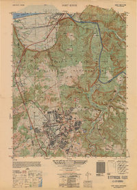 1950 Fort Knox1950 Print · USGSFort Knox and its surroundings in the years following the war show a landscape transformed by military necessity and river valley geography. Researchers can trace the layout of the US Bullion Depository and Godman Field alongside older communities like West Point and Goldville.
 - 1950 Map of Kosmosdale, 1959 Print
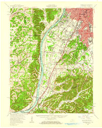 1950 Kosmosdale1959 Print · USGSGreater Louisville and the Ohio River valley are captured here at mid-century, showing the city's industrial south side meeting rural river towns. Genealogists and historians can trace family locations through Lanesville Cem, the Waverly Hills Sanatorium, and Churchill Downs.
 - 1951 Map of Kosmosdale
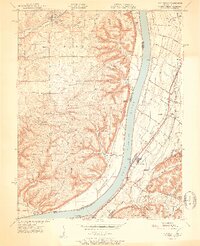 1951 Kosmosdale1951 Print · USGSThe Ohio River valley south of Louisville was a busy corridor of rail and road commerce in the early fifties. Genealogists and historians can trace local landmarks like Kosmosdale Sch, Mill Creek Cem, and the boundaries of the Fort Knox Military Reservation.2 unique versions available
 - 1951 Map of Waterford
 1951 Waterford1951 Print · USGSSpencer and Bullitt counties are mapped here in the early fifties, showing the rural landscape along the meandering Salt River. Genealogists can trace family connections through local landmarks like Carrithers Chapel, Whitfield, and the Locust Grove Sch.
 - 1951 Map of Valley Station
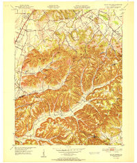 1951 Valley Station1951 Print · USGSJefferson and Bullitt counties are shown here in the early fifties as small communities like Valley Station and Fairdale began to expand along the major rail lines. Genealogists can trace family roots through several rural landmarks, including the South Jefferson Cem, Stonestreet, and Bethany Ch.
 - 1951 Map of Brooks
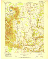 1951 Brooks1951 Print · USGSIn the early fifties, the knobs of northern Bullitt County served as a rugged backdrop to the busy corridor of the Louisville and Nashville railroad. Genealogists can locate numerous family burial sites such as McCawley Cem and Terry Cem, alongside landmarks like the Julius Rosenwald Sch.
 - 1951 Map of Mount Washington
 1951 Mount Washington1951 Print · USGSThe crossroads of Bullitt and Jefferson counties come into focus in the early fifties, centered on the growing community of Mount Washington. Researchers can trace rural life along the Salt River through landmarks like Bethel Church, Lovvorn School, and numerous family plots like the Gentry Cemetery.
 - 1951 Map of Louisville, 1959 Print
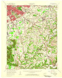 1951 Louisville1959 Print · USGSGreater Louisville and Bullitt County are seen here in a period of rapid suburban growth following the war. Researchers can trace family history through dozens of landmarks like Evergreen Cemetery, Camp Taylor, and the rural schools of Okolona.
 - 1953 Map of Fairfield, 1955 Print
 1953 Fairfield1955 Print · USGSNelson County's rural landscape at the start of the 1950s shows a community of small crossroads and family-run farms before widespread modernization. Genealogists and local researchers can trace the locations of Highgrove Sch, St Michaels Cem, and even a mid-century Drive-in Theatre.2 unique versions available
 - 1955 Map of Brooks, 1956 Print
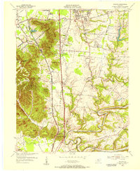 1955 Brooks1956 Print · USGSIn the mid-fifties, this Bullitt County corridor was balancing its rural roots with new industrial and highway growth. Genealogists can trace family names through the Brooks Cem and McCawley Cem, or locate historic landmarks like Hubers (Kenlite Sta) and Buttonmold Knob.
 - 1955 Map of Kosmosdale, 1956 Print
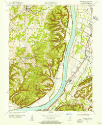 1955 Kosmosdale1956 Print · USGSThe river valley south of Louisville comes alive in the mid-fifties, showing the vital corridors of the Illinois Central and Dixie Highway. Genealogists and historians can trace family locations near Bethany, Meadow Lawn, and the rural Elizabeth Ch.
Showing maps 1-25 of 124
Top cities of Bullitt County
- Mount Washington historical maps
- Shepherdsville historical maps
- Hillview historical maps
- Pioneer Village historical maps
- Lebanon Junction historical maps
- Hebron Estates historical maps
See more
Frequently asked questions
- What are the different types of historical maps available for Bullitt County?
- What is the oldest map of Bullitt County?
- Where can I purchase historical maps of Bullitt County for my home or office?
- Where can I download high-res historical maps of Bullitt County?
- Are there historical topographic maps available for Bullitt County?
- Is there historical aerial imagery available for Bullitt County?
- Where are historical maps of Bullitt County sourced from?