2020s Maps of Bullitt County, Kentucky
Explore 13 historic maps of Bullitt County from the 2020s. These maps offer a rare glimpse into what life looked like during the 2020s — showing old roads, neighborhoods, homes, and landmarks that have changed or disappeared over time.
Whether you're researching your family's past, planning a metal detecting trip, or studying how Bullitt County's landscape evolved across the 2020s, these high-resolution maps are a powerful tool for exploring the history of this region.
- Focus on a specific era: All maps on this page are from the 2020s, giving you a focused view of this time period.
- See what’s changed: Compare century-old streets, trails, and buildings to today's modern landscape using overlays and satellite layers.
- Research with precision: Use these maps for genealogy, historical research, land use analysis, or educational projects.
- View, download, or print: Maps are fully viewable online in high resolution, and can be downloaded or printed for your own records.
Start exploring Bullitt County's history through authentic maps from the 2020s. This is your window into the past.
Bullitt County, KY maps
(13)- 2022 Map of Kosmosdale, 2022 Print
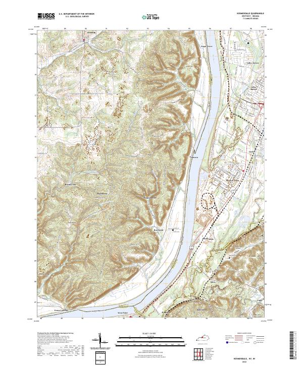 2022 Kosmosdale2022 Print · USGSThe riverfront south of Louisville comes alive in this modern survey of the Kentucky-Indiana border. Genealogists can trace local roots through several burial grounds like McNutt Cemetery and Mill Creek Cemetery or explore the ridges of Rosewood.
 - 2022 Map of Mount Washington, 2022 Print
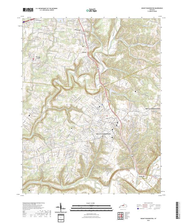 2022 Mount Washington2022 Print · USGSMount Washington and its surrounding Bullitt County communities are captured here in the early 2020s as residential growth meets the river valleys. Researchers can trace local heritage through numerous burial sites like Mount Washington Cem or explore the geography of Floyds Fork and Smithville.
 - 2022 Map of Colesburg, 2022 Print
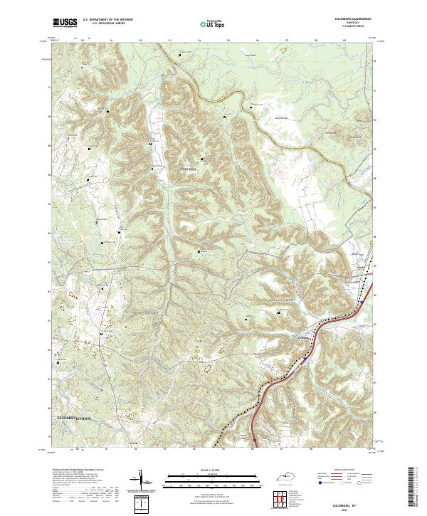 2022 Colesburg2022 Print · USGSSettled along the Bullitt and Hardin County line in the early 2020s, this area features a distinct mix of river flats and knobs. Genealogists can trace family landmarks like Cedar Creek Cem, Booth, and Stovall Cem Number 2.
 - 2022 Map of Waterford, 2022 Print
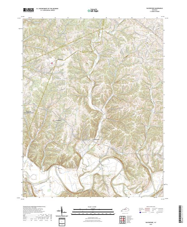 2022 Waterford2022 Print · USGSThe Salt River valley and the historic settlement of Waterford are captured in this modern survey of the Spencer County countryside. Researchers can trace family landmarks along Plum Creek, the drainage of Feather Bed Hollow, and the rural crossroads of Whitfield.
 - 2022 Map of Valley Station, 2022 Print
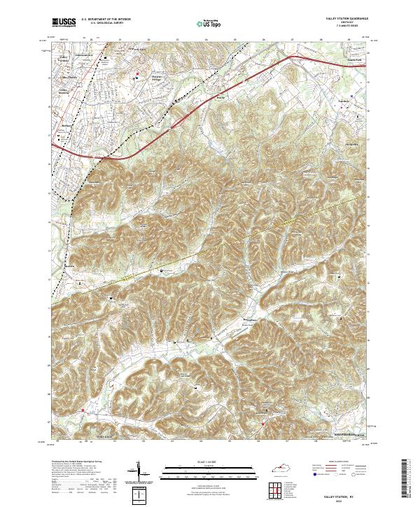 2022 Valley Station2022 Print · USGSSouth of Louisville as the suburbs meet the Kentucky knobs, this map reveals a landscape defined by family-named ridges and hollows. Genealogists can trace family names at the Bethany Memorial Cem, Horine Cem, and McDaniel Cem.
 - 2022 Map of Brooks, 2022 Print
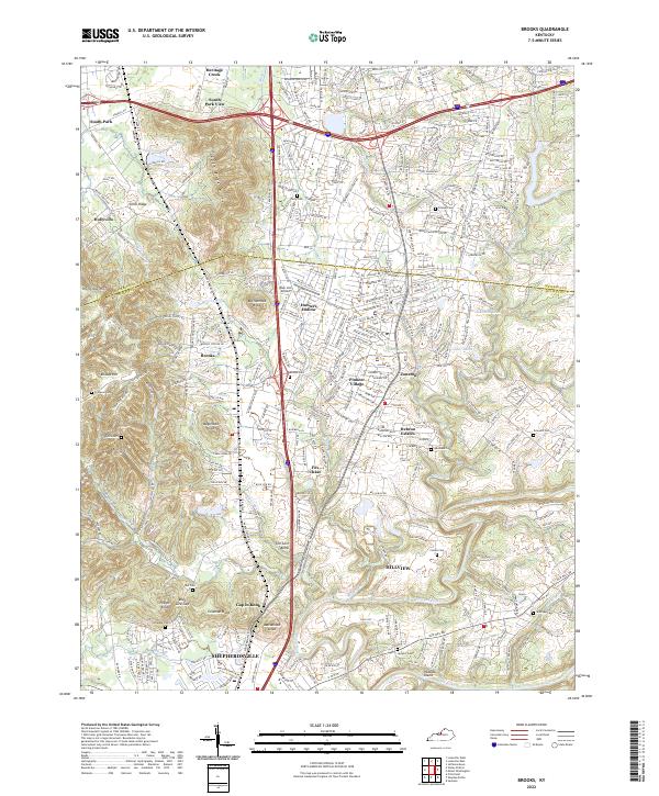 2022 Brooks2022 Print · USGSNorthern Bullitt County at the start of the twenty-twenties shows a suburban landscape woven through distinctive terrain. Trace family histories at the Terry Cem and Ferguson Cem, or locate landmarks like Blue Lick Airport and Wagonbed Knob.
 - 2022 Map of Fairfield, 2022 Print
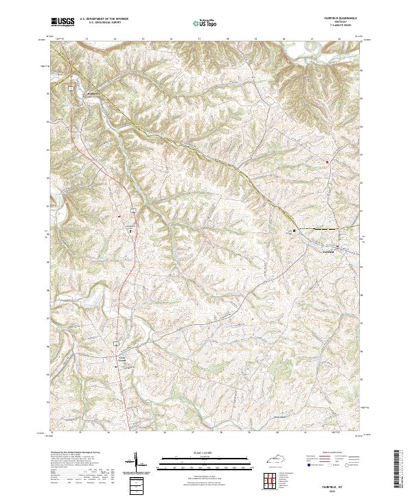 2022 Fairfield2022 Print · USGSThe Nelson County countryside near the Spencer and Bullitt borders is shown here in the early twenty-first century. Genealogists and researchers can trace family land and landmarks like Saint Michaels Cem, Montgomery Cem, and the settlement of Highgrove.
 - 2022 Map of Samuels, 2022 Print
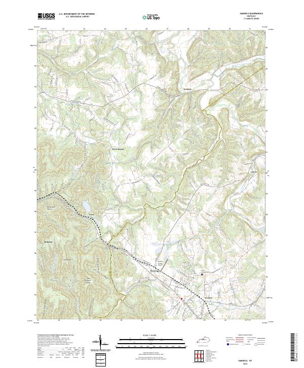 2022 Samuels2022 Print · USGSThe borderlands of Bullitt and Nelson Counties are captured here in the early twenty-first century, showing a landscape of deep hollows and high ridges. Genealogists and historians can trace family locations near Deatsville, Brownington, and the Saint Gregory Cem.
 - 2022 Map of Shepherdsville, 2022 Print
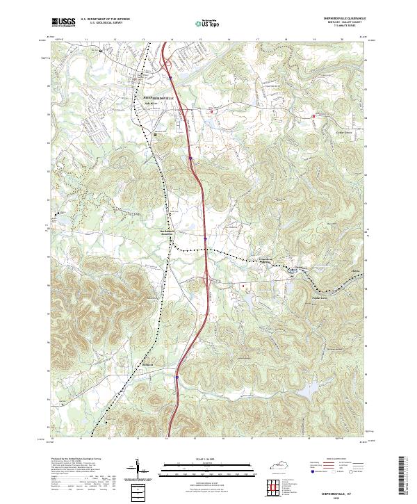 2022 Shepherdsville2022 Print · USGSThe Bullitt County seat and its southern neighbors are captured here in the early 2020s as modern infrastructure meets established hollows. Researchers can trace land patterns near Bardstown Junction, the rural settlement at Belmont, and landmarks like Lake Nevin.
 - 2022 Map of Lebanon Junction, 2022 Print
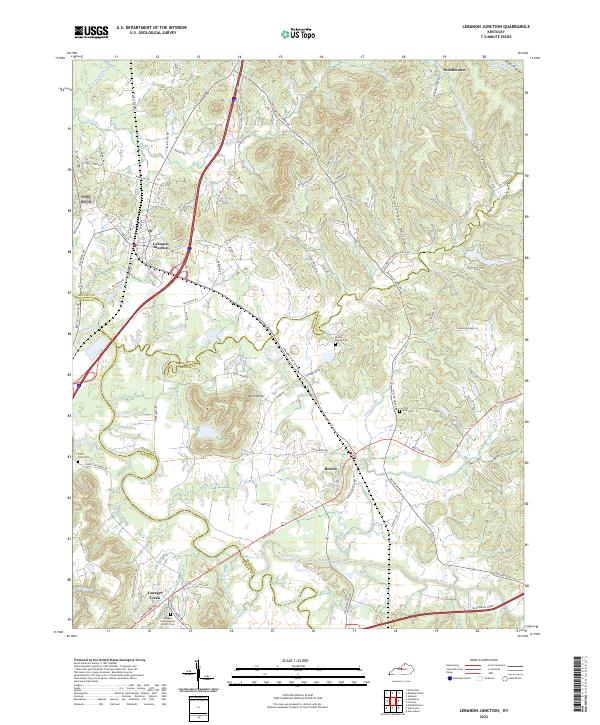 2022 Lebanon Junction2022 Print · USGSSouthern Bullitt County at the start of the 2020s remains a landscape defined by the convergence of the Rolling Fork and Beech Fork rivers. Researchers can trace family sites and local landmarks from Lebanon Junction to Boston, including the Saint Clare Cemetery and Keith Knob.
 - 2022 Map of Pitts Point, 2022 Print
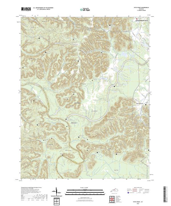 2022 Pitts Point2022 Print · USGSThe confluence of the Salt River and Rolling Fork defines this Bullitt County landscape in the early 2020s. Genealogists can trace family roots through numerous remote burial sites like Wooldridge Cem, Cundiff Cem, and Troutman Cem.
 - 2022 Map of Fort Knox, 2022 Print
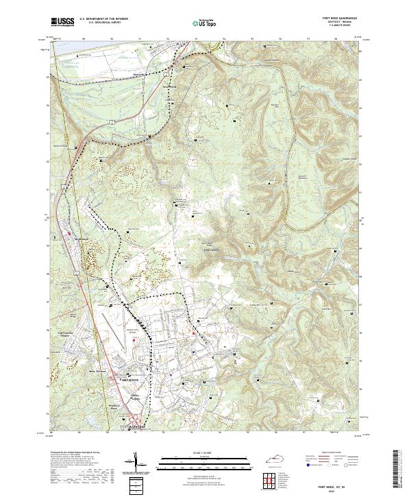 2022 Fort Knox2022 Print · USGSThe military landscape of Hardin County and the confluence of the Ohio and Salt Rivers are seen here in the early 2020s. Genealogists can locate family burial sites like Geoghegan Cem and the Fort Knox Post Cem alongside Godman Army Airfield.
 - 2022 Map of Cravens, 2022 Print
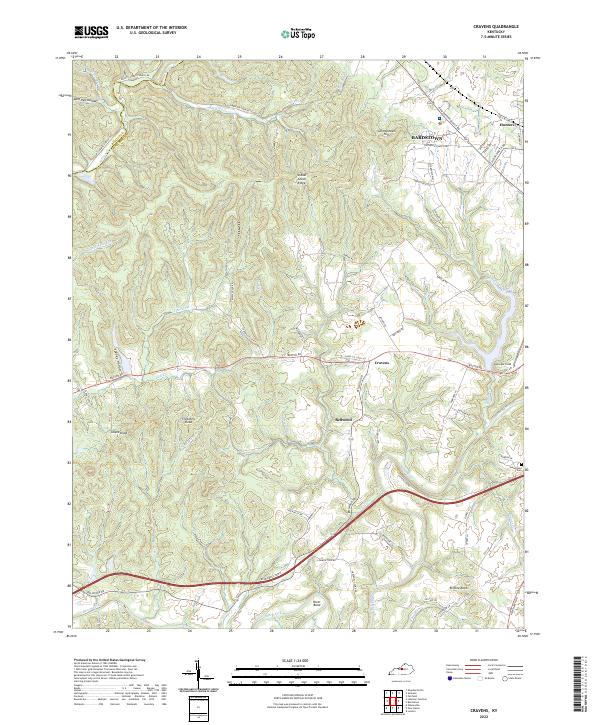 2022 Cravens2022 Print · USGSNelson County just outside Bardstown comes into focus in this contemporary survey of its ridges and river forks. Researchers can trace land ties and local landmarks from Samuels Field to the family-named Allens Knob and the Sutherland Cem.
End of results
Showing maps 1-13 of 13
Top cities of Bullitt County
- Mount Washington historical maps
- Shepherdsville historical maps
- Hillview historical maps
- Pioneer Village historical maps
- Lebanon Junction historical maps
- Hebron Estates historical maps
See more
Frequently asked questions
- What are the different types of historical maps available for Bullitt County?
- What is the oldest map of Bullitt County?
- Where can I purchase historical maps of Bullitt County for my home or office?
- Where can I download high-res historical maps of Bullitt County?
- Are there historical topographic maps available for Bullitt County?
- Is there historical aerial imagery available for Bullitt County?
- Where are historical maps of Bullitt County sourced from?