2000s (21st Century) Maps of Bullitt County, Kentucky
Explore 65 historic maps of Bullitt County from the 2000s (21st Century). These maps offer a rare glimpse into what life looked like during the 2000s — showing old roads, neighborhoods, homes, and landmarks that have changed or disappeared over time.
Whether you're researching your family's past, planning a metal detecting trip, or studying how Bullitt County's landscape evolved across the 2000s, these high-resolution maps are a powerful tool for exploring the history of this region.
- Focus on a specific era: All maps on this page are from the 2000s, giving you a focused view of this time period.
- See what’s changed: Compare century-old streets, trails, and buildings to today's modern landscape using overlays and satellite layers.
- Research with precision: Use these maps for genealogy, historical research, land use analysis, or educational projects.
- View, download, or print: Maps are fully viewable online in high resolution, and can be downloaded or printed for your own records.
Start exploring Bullitt County's history through authentic maps from the 2000s. This is your window into the past.
Bullitt County, KY maps
(65)- 2010 Map of Waterford, 2010 Print
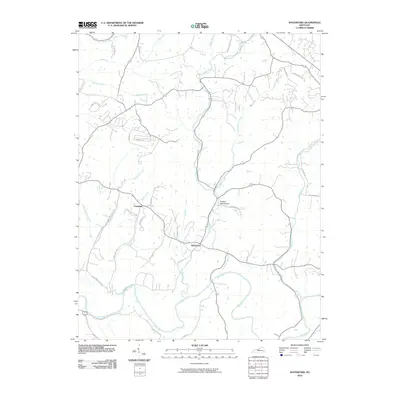 2010 Waterford2010 Print · USGSThis rural Kentucky landscape near the Jefferson and Spencer county line is shown here in the early twenty-first century. Genealogists and local historians can trace the course of the Salt River and locate the small communities of Waterford and Crenshaw.
 - 2010 Map of Samuels, 2010 Print
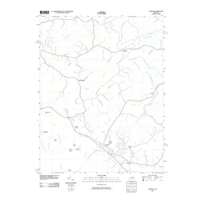 2010 Samuels2010 Print · USGSBullitt County’s rural communities are captured here in the early twenty-first century as the landscape transitioned toward modern residential growth. Researchers can trace family roots through Saint Gregorys Cemetery and local settlements like Henpeck, Brownington, and Samuels.
 - 2010 Map of Fairfield, 2010 Print
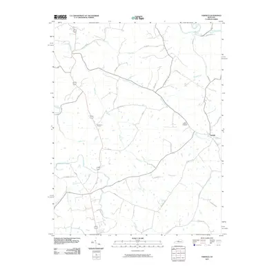 2010 Fairfield2010 Print · USGSFairfield and the surrounding Nelson County countryside are captured here in the early twenty-first century. Genealogists can locate family sites such as Saint Michaels Cemetery and Montgomery Cemetery or trace old routes like Mobley Mill Rd.
 - 2010 Map of Valley Station, 2010 Print
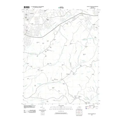 2010 Valley Station2010 Print · USGSSouthwest of Louisville in the early twenty-first century, this area balances residential expansion with the steep terrain of the Kentucky Knobs. Researchers can locate numerous local burial grounds including Mount Holly Cemetery and Graham Cemetery, or trace the winding paths through Metz Gap and Dodge Hollow.
 - 2010 Map of Shepherdsville, 2010 Print
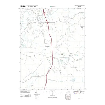 2010 Shepherdsville2010 Print · USGSShepherdsville and the surrounding Bullitt County landscape are documented here in the early twenty-first century. Family history researchers can locate several small burial sites, such as Maraman Cemetery and Smith Cemetery, while tracing the terrain around Bardstown Junction and Clermont.
 - 2010 Map of Lebanon Junction, 2010 Print
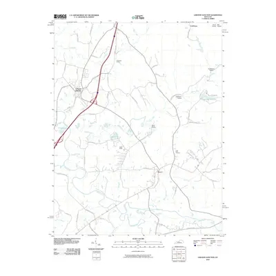 2010 Lebanon Junction2010 Print · USGSThe Bullitt County countryside near Lebanon Junction is captured here during a period of modern growth among traditional riverbottom farms. Genealogists and local historians can trace family locations near Mount Moriah Cemetery, Keith Knob, and the riverside community of Boston.
 - 2010 Map of Mount Washington, 2010 Print
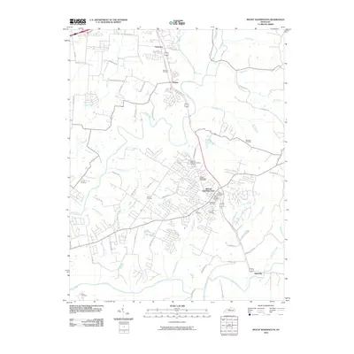 2010 Mount Washington2010 Print · USGSMount Washington and the southern reaches of Jefferson County appear here in the early twenty-first century as suburban growth meets traditional rural terrain. Genealogists can trace family names at Hell Cemetery, Gentey Cemetery, and Highland Memorial Gardens Cemetery near the Salt River.
 - 2010 Map of Cravens, 2010 Print
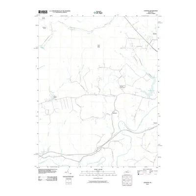 2010 Cravens2010 Print · USGSThe rural landscape of Nelson County is captured here in the early 21st century as modern thoroughfares intersect with deep-rooted settlements. Genealogists and local historians can trace family landmarks like Sutherland Cemetery and the small communities of Bellwood and Hunters.
 - 2010 Map of Pitts Point, 2010 Print
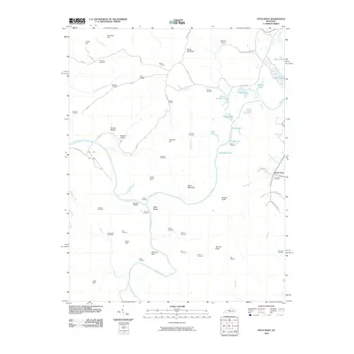 2010 Pitts Point2010 Print · USGSThe confluence of the Salt River and Rolling Fork in Bullitt County is shown here in the early twenty-first century. Genealogists can trace decades of local family history through numerous small burial sites, including the Snellen Cemetery, Holsclaw Cemetery, and Mumford Cemetery.
 - 2010 Map of Colesburg, 2010 Print
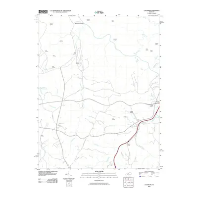 2010 Colesburg2010 Print · USGSHardin County's rolling hills and creek bottoms are documented here in the decade following the millennium, showing a landscape of scattered farms and small crossroads. Genealogists can trace several ancestral sites including Patterson Chapel Cemetery and Larkin Cemetery near the waters of Rolling Fork.
 - 2010 Map of Brooks, 2010 Print
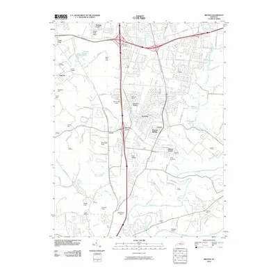 2010 Brooks2010 Print · USGSThe suburbs south of Louisville are seen here in the first decade of the millennium as residential development expanded through the Kentucky knobs. Genealogists and local historians can locate many family-named burial grounds like McCauley Cemetery and Ball Cemetery or landmarks such as the Blue Lick Airport.
 - 2010 Map of Fort Knox, 2010 Print
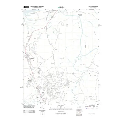 2010 Fort Knox2010 Print · USGSThe northern edge of the Hardin County military complex is captured here at the start of the 2010s. Researchers can locate the United States Bullion Depository, Godman Army Air Field, and numerous family burial sites like McIntire Cemetery.
 - 2011 Map of Kosmosdale, 2011 Print
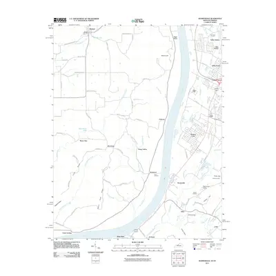 2011 Kosmosdale2011 Print · USGSThe banks of the Ohio River near the mouth of the Salt River come alive in this recent survey of the Kentucky-Indiana border. Researchers can find numerous family burial grounds like Colvin Cemetery and Pauley Cemetery, alongside river towns like West Point and Kosmosdale.
 - 2013 Map of Shepherdsville, 2013 Print
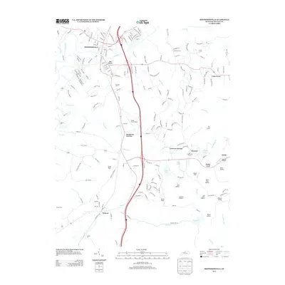 2013 Shepherdsville2013 Print · USGSShepherdsville and the Salt River valley are captured here just after the turn of the millennium. Researchers can trace family history through numerous landmarks like Maraman Cem, Bardstown Junction, and the historic community of Clermont.
 - 2013 Map of Mount Washington, 2013 Print
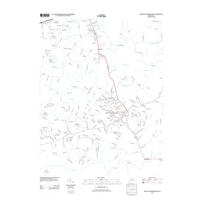 2013 Mount Washington2013 Print · USGSJefferson County in the early twenty-first century reveals a landscape where suburban expansion meets long-standing rural landmarks. Researchers can trace family history through a high density of local burial sites, from Mt Washington Cem to Gentry Cem and Fairmount Cem.
 - 2013 Map of Valley Station, 2013 Print
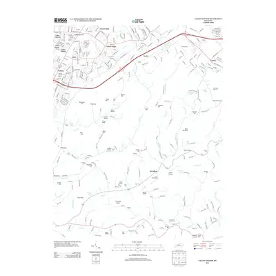 2013 Valley Station2013 Print · USGSJefferson County south of Louisville in the early 2010s shows a mix of suburban growth and deeply rooted local landmarks. Genealogists can locate family burial sites like Bethany Cem and Weird Cem or trace the geography of Penile and Fairdale.
 - 2013 Map of Brooks, 2013 Print
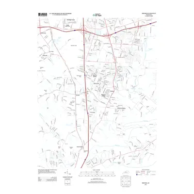 2013 Brooks2013 Print · USGSJefferson and Bullitt Counties come alive in this early 21st-century survey of the growing communities south of Louisville. Researchers can trace family history through several burial sites like Brooks Cem and Collins Cem or locate landmarks such as the Blue Lick Airport.
 - 2013 Map of Fairfield, 2013 Print
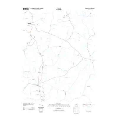 2013 Fairfield2013 Print · USGSNelson County in the early twenty-first century is captured here as a landscape of historic crossroads and winding watercourses. Genealogists and local researchers can pinpoint Saint Michaels Cem, the settlement of Highgrove, and the banks of the Salt River.
 - 2013 Map of Samuels, 2013 Print
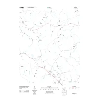 2013 Samuels2013 Print · USGSBrownington and the surrounding Kentucky countryside are captured here during a period of modern rural continuity. Genealogists can trace family connections through small settlements like Deatsville and Lotus or landmarks such as Saint Gregorys Cem.
 - 2013 Map of Colesburg, 2013 Print
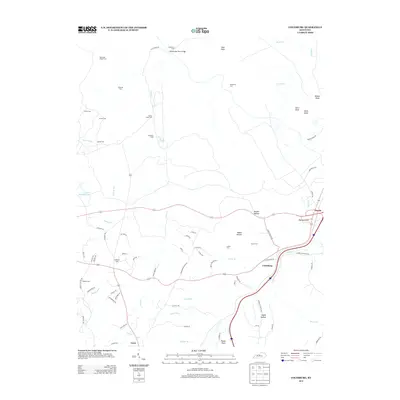 2013 Colesburg2013 Print · USGSColesburg and the surrounding Hardin County terrain are documented here just after the turn of the millennium. Genealogists can trace family heritage through numerous rural burial sites like McMillen Cem and Atcher Cem, or locate historic crossings at Wooldridge Ferry Bridge.
 - 2013 Map of Waterford, 2013 Print
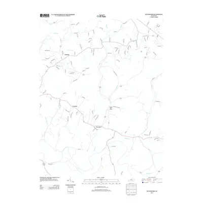 2013 Waterford2013 Print · USGSThe rural-suburban landscape south of Louisville is captured in detail during the early 2010s. Researchers can trace the layout of small communities like Waterford and Whitfield, or explore the winding paths of Plum Cr and the Salt River.
 - 2013 Map of Kosmosdale, 2013 Print
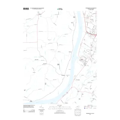 2013 Kosmosdale2013 Print · USGSThe Ohio River valley south of Louisville comes into focus in the early twenty-first century, showing the interface between industrial river sites and growing residential suburbs. Genealogists can trace family heritage through local landmarks like Mill Creek Cem, Rabbit Hash Ridge, and the small settlement of Elizabeth.
 - 2013 Map of Lebanon Junction, 2013 Print
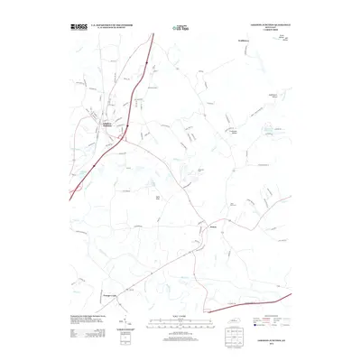 2013 Lebanon Junction2013 Print · USGSKentucky's river-and-rail corridor is captured here in the early twenty-first century, showing the junction of the Rolling Fork and Beech Fork rivers. Researchers can trace family history through sites like Mt. Moriah Cem, the rural outpost of Scuffletown, and the streets of Lebanon Junction.
 - 2013 Map of Cravens, 2013 Print
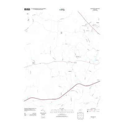 2013 Cravens2013 Print · USGSBardstown's rural outskirts in Nelson County are documented here just after the turn of the millennium. Local historians can trace family land and small settlements like Cravens and Bellwood, or find the Sutherland Cem near Beech Fork.
 - 2013 Map of Pitts Point, 2013 Print
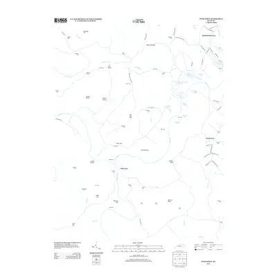 2013 Pitts Point2013 Print · USGSThe confluence of the Salt River and Rolling Fork in Bullitt County is shown here in the early twenty-first century. Genealogists and historians can locate numerous family burial sites, including Holsclaw Cem and Froman Cem, within the modern Fort Knox boundaries.
Showing maps 1-25 of 65
Top cities of Bullitt County
- Mount Washington historical maps
- Shepherdsville historical maps
- Hillview historical maps
- Pioneer Village historical maps
- Lebanon Junction historical maps
- Hebron Estates historical maps
See more
Frequently asked questions
- What are the different types of historical maps available for Bullitt County?
- What is the oldest map of Bullitt County?
- Where can I purchase historical maps of Bullitt County for my home or office?
- Where can I download high-res historical maps of Bullitt County?
- Are there historical topographic maps available for Bullitt County?
- Is there historical aerial imagery available for Bullitt County?
- Where are historical maps of Bullitt County sourced from?