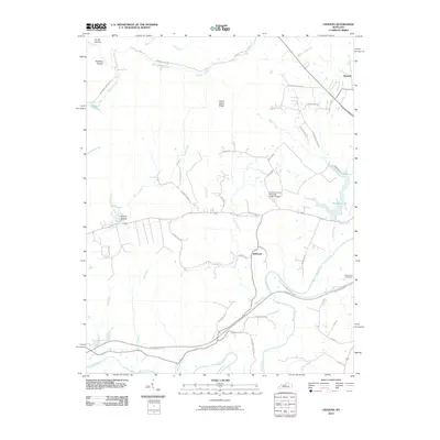
2010 Map of Cravens
USGS Topo · Published 2010About this map
Bellwood and Hunters anchor this portion of Nelson County, where the landscape is defined by the winding course of the Beech Fork and its numerous tributaries. The topography is marked by a series of distinct hollows and ridges, such as Spooky Hollow, Wolf Pen Hollow, and Indian Grave Ridge, which shape the local drainage into Cedar Creek and Harrison Creek.
Find a feature on this map
44 named features on this map. Tap any name to fly to it.
Don’t see what you’re looking for? This feature index may not catch every label — zoom into the map to look around manually.
Map Details
Editions of this 2010 Cravens Map
This is the sole edition of this map. No revisions or reprints were ever made.
Other maps of this area

1949 · Cravens
USGS Topo · 1:24,000

1949 · Shepherdsville
USGS Topo · 1:24,000

1949 · Samuels
USGS Topo · 1:24,000

1949 · Shepherdsville
USGS Topo · 1:62,500

1953 · Loretto
USGS Topo · 1:24,000

1953 · Nelsonville
USGS Topo · 1:24,000

1953 · Bardstown
USGS Topo · 1:24,000

1953 · New Haven
USGS Topo · 1:24,000

1953 · Fairfield
USGS Topo · 1:24,000

1957 · Winchester
USGS Topo · 1:250,000