Old Maps of Pitts Point, Kentucky for Hiking & Exploration
Hike through history with 14 historic maps of Pitts Point. Explore old trails, ghost towns, and forgotten backroads — perfect for outdoor adventurers and local explorers.
- Rediscover forgotten places: Map out old mining camps, roads, and footpaths that no longer exist on modern maps.
- Layer with modern tools: Combine with LiDAR or satellite views to plan hikes through historical terrain.
- Made for exploration: Popular among hikers, overlanders, and local history lovers.
Use these maps to find adventure and explore the hidden past of Pitts Point.
Pitts Point, KY maps
(14)- 1936 Map of Vine Grove
 1936 Vine Grove1936 Print · USGSHardin and Bullitt counties are shown here during a period of massive military expansion before the mid-century. Researchers can trace the development of Fort Knox alongside established communities like Vine Grove and old rural landmarks like Stovall Chapel or the Glenbeddis Sch.
 - 1943 Map of Vine Grove
 1943 Vine Grove1943 Print · USGSHardin and Meade Counties appear here during a period of massive mid-century growth at Fort Knox. Genealogists can trace family homesteads near landmarks like Stovall Chapel, Red Hill, and the many rural schools including Hays Sch and Deckard Sch.
 - 1946 Map of Pitts Point
 1946 Pitts Point1946 Print · USGSIn the mid-1940s, this area of Bullitt and Hardin County was transforming into a vital military landscape. Genealogists can locate numerous community landmarks like Hays School, Stowers Branch Cem, and the river junction at Pitts Point.
 - 1946 Map of Vine Grove, 1959 Print
 1946 Vine Grove1959 Print · USGSMid-century Hardin County is defined by the massive expansion of the Fort Knox Military Reservation and its surrounding rail-and-highway hubs. Researchers can trace dozens of family cemeteries and vanished landmarks like the Woolridge Ferry Bridge, Sherrard Sch, and the community of Pitts Point.
 - 1957 Map of Winchester, 1968 Print
 1957 Winchester1968 Print · USGSCentral Kentucky's landscape in the mid-twentieth century features the sprawling Fort Knox and the early parkway system. Genealogists and historians can trace rail lines like the Southern Railway and find landmarks from Bernheim Forest to Pilot Knob.3 unique versions available
 - 1960 Map of Winchester
 1960 Winchester1960 Print · USGSCentral Kentucky's diverse landscape is shown here at mid-century, from the bluegrass plains to the rugged Pottsville Escarpment. Genealogists and historians can trace the rail-and-river network connecting towns like Bardstown and Stanford alongside landmarks like Lake Cumberland.
 - 1960 Map of Pitts Point, 1961 Print
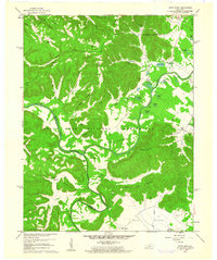 1960 Pitts Point1961 Print · USGSThe confluence of the Salt River and Rolling Fork in Bullitt County is shown here during the mid-century expansion of military holdings. Genealogists can trace family burial sites like Woolridge Cem and Holsclaw Cem or find the Hays School and Floating Bridge Site.3 unique versions available
 - 1981 Map of Elizabethtown, 1983 Print
 1981 Elizabethtown1983 Print · USGSCentral Kentucky in the early eighties shows a landscape of military installations, state parks, and historic sites. Genealogists and historians can trace rail lines like the Louisville and Nashville or locate sites like Lebanon National Cemetery and the Lincoln Memorial National Historic Site.
 - 1991 Map of Pitts Point, 1992 Print
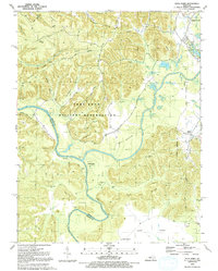 1991 Pitts Point1992 Print · USGSBullitt County in the early nineties shows the deep intersection of military life and rural Kentucky heritage. Researchers can locate numerous family burial grounds and vanished landmarks like the Pitts Point Cem, Hays School, and the Mount Eden Church.
 - 2010 Map of Pitts Point, 2010 Print
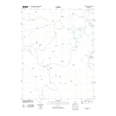 2010 Pitts Point2010 Print · USGSThe confluence of the Salt River and Rolling Fork in Bullitt County is shown here in the early twenty-first century. Genealogists can trace decades of local family history through numerous small burial sites, including the Snellen Cemetery, Holsclaw Cemetery, and Mumford Cemetery.
 - 2013 Map of Pitts Point, 2013 Print
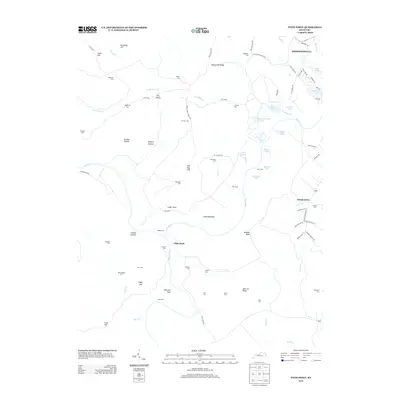 2013 Pitts Point2013 Print · USGSThe confluence of the Salt River and Rolling Fork in Bullitt County is shown here in the early twenty-first century. Genealogists and historians can locate numerous family burial sites, including Holsclaw Cem and Froman Cem, within the modern Fort Knox boundaries.
 - 2016 Map of Pitts Point, 2016 Print
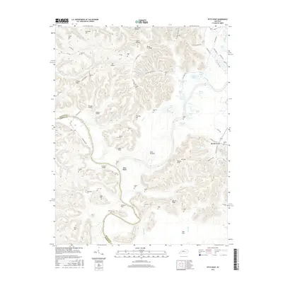 2016 Pitts Point2016 Print · USGSThe river bottoms and ridges near the Bullitt and Hardin county line are shown here in the mid-2010s, centered on the historic Pitts Point confluence. Genealogists can locate dozens of family burial sites like Anderson, Hardy, and Viers tucked among landmarks like The Knobs.
 - 2019 Map of Pitts Point, 2019 Print
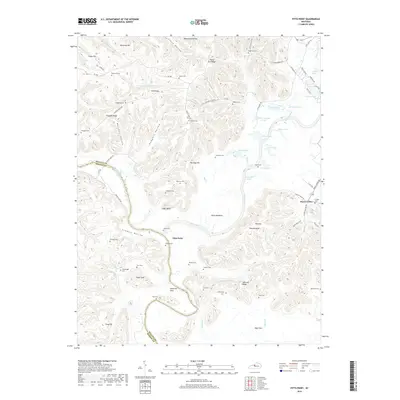 2019 Pitts Point2019 Print · USGSThe confluence of the Salt River and Rolling Fork defines this Bullitt County landscape in the early twenty-first century. Genealogists can trace family heritage through a remarkable density of burial sites like Troutman Cem, Pitts Point, and Atherton Flats.
 - 2022 Map of Pitts Point, 2022 Print
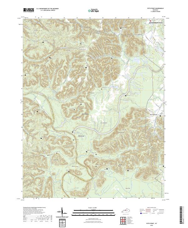 2022 Pitts Point2022 Print · USGSThe confluence of the Salt River and Rolling Fork defines this Bullitt County landscape in the early 2020s. Genealogists can trace family roots through numerous remote burial sites like Wooldridge Cem, Cundiff Cem, and Troutman Cem.
End of results
Showing maps 1-14 of 14
Top cities near Pitts Point
- Louisville historical maps
- Elizabethtown historical maps
- Radcliff historical maps
- Mount Washington historical maps
- Shepherdsville historical maps
- Hillview historical maps
See more
Frequently asked questions
- What are the different types of historical maps available for Pitts Point?
- What is the oldest map of Pitts Point?
- Where can I purchase historical maps of Pitts Point for my home or office?
- Where can I download high-res historical maps of Pitts Point?
- Are there historical topographic maps available for Pitts Point?
- Is there historical aerial imagery available for Pitts Point?
- Where are historical maps of Pitts Point sourced from?