2010s Maps of Casey County, Kentucky
Explore 68 historic maps of Casey County from the 2010s. These maps offer a rare glimpse into what life looked like during the 2010s — showing old roads, neighborhoods, homes, and landmarks that have changed or disappeared over time.
Whether you're researching your family's past, planning a metal detecting trip, or studying how Casey County's landscape evolved across the 2010s, these high-resolution maps are a powerful tool for exploring the history of this region.
- Focus on a specific era: All maps on this page are from the 2010s, giving you a focused view of this time period.
- See what’s changed: Compare century-old streets, trails, and buildings to today's modern landscape using overlays and satellite layers.
- Research with precision: Use these maps for genealogy, historical research, land use analysis, or educational projects.
- View, download, or print: Maps are fully viewable online in high resolution, and can be downloaded or printed for your own records.
Start exploring Casey County's history through authentic maps from the 2010s. This is your window into the past.
Casey County, KY maps
(68)- 2010 Map of Mannsville, 2010 Print
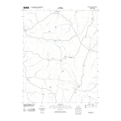 2010 Mannsville2010 Print · USGSThe rural uplands of Adair County are captured here at the start of the 2010s, showing a landscape of high ridges and winding creek valleys. Researchers can trace numerous family burial grounds and small settlements, from Speck to the Christie Chapel Cemetery.
 - 2010 Map of Bradfordsville, 2010 Print
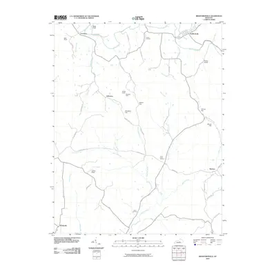 2010 Bradfordsville2010 Print · USGSMarion County life and its river-and-road network are detailed in this survey from the early twenty-first century. Genealogists and local historians can trace family locations near Liberty Cemetery, Peck Ford, and the small community of Merrimac.
 - 2010 Map of Clementsville, 2010 Print
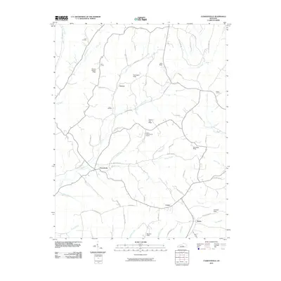 2010 Clementsville2010 Print · USGSCentral Kentucky's rural ridge-and-hollow country is documented here during the early twenty-first century. Genealogists and local historians can trace family land and landmarks like Gilpin Cemetery, Noel Chapel, and the uniquely named Chicken Gizzard Ridge.
 - 2010 Map of Bradfordsville NE, 2010 Print
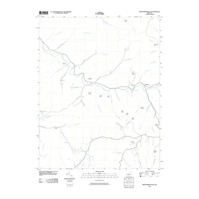 2010 Bradfordsville NE2010 Print · USGSJacktown and the surrounding Kentucky knobs are captured here in 2010, showing a landscape defined by the winding Big South Fork. Researchers can trace local heritage through numerous family burial sites like Weatherford Cemetery and Malone Cemetery, or locate landmarks such as Stacy Falls.
 - 2010 Map of Mintonville, 2010 Print
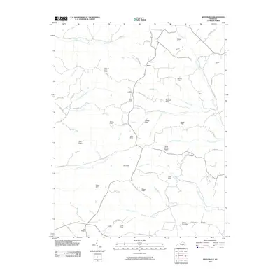 2010 Mintonville2010 Print · USGSThe rural ridges of Casey County come into focus in the early 2000s, showing a landscape of family-named knobs and winding creeks. Researchers can trace local history through sites like Spaw Cemetery, Argyle, and high points such as Green River Knob and Tarter Knob.
 - 2010 Map of Eli, 2010 Print
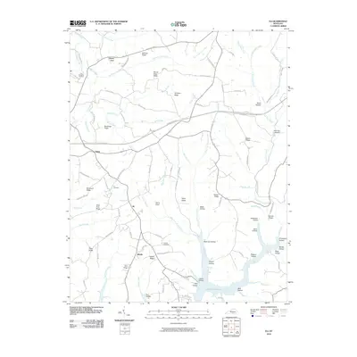 2010 Eli2010 Print · USGSRussell County, Kentucky, is shown in the early twenty-first century as rural communities overlook the inlets of the regional reservoir. Researchers can trace family history at the Eli Cemetery or locate old home sites near Honey Acre and Whittle.
 - 2010 Map of Eubank, 2010 Print
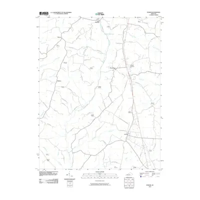 2010 Eubank2010 Print · USGSPulaski County's rural corridors and family settlements are captured here in the early twenty-first century. Genealogists and local historians can trace legacy sites like Double Spring Cemetery, Falconbury Cemetery, and the old Pond School Rd.
 - 2010 Map of Hustonville, 2010 Print
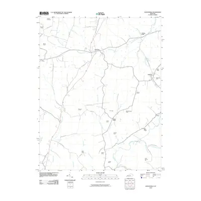 2010 Hustonville2010 Print · USGSLincoln County at the start of the 2010s reveals a landscape of high knobs and winding creek bottoms. Genealogists and local historians can trace family sites at Brown Cemetery, the settlement of Chicken Bristle, and landmarks like McKinney Bluff.
 - 2010 Map of Ellisburg, 2010 Print
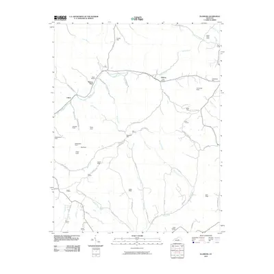 2010 Ellisburg2010 Print · USGSIn the early twenty-first century, this corner of Casey County reveals a landscape of high knobs and deep creek hollows. Researchers can trace family history through numerous burial sites like Adam Cemetery and Carr Cemetery, or locate the historic site of Peytons Store.
 - 2010 Map of Yosemite, 2010 Print
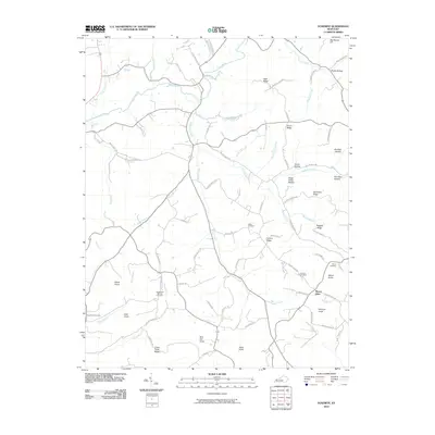 2010 Yosemite2010 Print · USGSCasey County in the early twenty-first century remains a landscape of deep hollows and high knobs where family legacies are preserved in the terrain. Researchers can trace ancestral locations near Mount Olive or visit historic burial grounds like Durham Cemetery and Old Willow Springs Cemetery.
 - 2010 Map of Phil, 2010 Print
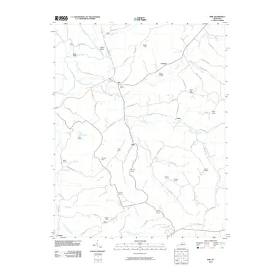 2010 Phil2010 Print · USGSCasey County ridge country is captured here in the early twenty-first century, showing a landscape defined by its hollows and river bends. Researchers can trace family roots through Carson Cemetery and Miller Cemetery or locate the rural hubs of Phil and Teddy.
 - 2010 Map of Science Hill, 2010 Print
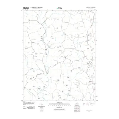 2010 Science Hill2010 Print · USGSPulaski County at the start of the decade shows a landscape of ridge-top settlements and creek-bottom hollows. Family historians can trace ancestral sites at Dick Cemetery or Van Hook Cemetery near the communities of Ansel and Science Hill.
 - 2010 Map of Gravel Switch, 2010 Print
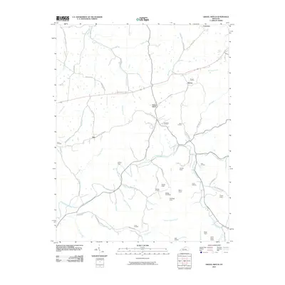 2010 Gravel Switch2010 Print · USGSMarion County, Kentucky, remains a landscape of rolling knobs and creek-side settlements in the early twenty-first century. Genealogists can trace family roots through the Aliceton Cemetery and Elder Cemetery, or locate rural hamlets like Riley and Gravel Switch.
 - 2010 Map of Dunnville, 2010 Print
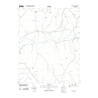 2010 Dunnville2010 Print · USGSAdair County's rural river valleys and family ridges are preserved here as they appeared in the early twenty-first century. Genealogists can trace family heritage through local landmarks like Thomastown Cemetery, William Cemetery, and the settlements of Pellyton and Dunnville.
 - 2010 Map of Liberty, 2010 Print
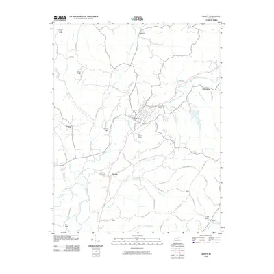 2010 Liberty2010 Print · USGSThe Green River valley and the town of Liberty are the focus of this central Kentucky survey from the early 2000s. Genealogists and local historians can trace family-named routes and rural landmarks like Walnut Hill Cemetery, Pricetown, and Beech Bottom.
 - 2010 Map of Junction City, 2010 Print
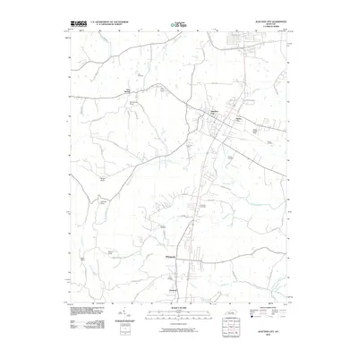 2010 Junction City2010 Print · USGSBoyle County crossroads come into focus during the early twenty-first century as the rail and road networks of Junction City and Shelby City expand. Genealogists can trace family landmarks and burial sites like Benedict Cemetery and Givans Cemetery or locate the airfield at Stuart Powell Field.
 - 2010 Map of Parksville, 2010 Print
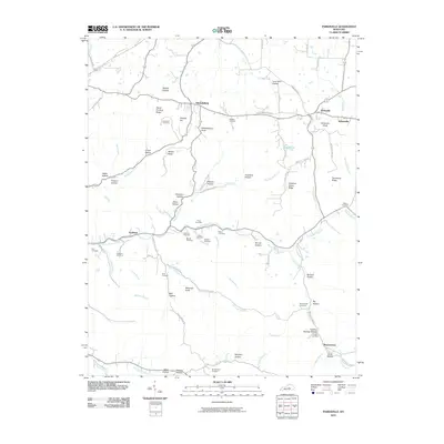 2010 Parksville2010 Print · USGSBoyle County communities like Parksville and Mitchellsburg are documented here in the early twenty-first century. Family researchers can trace dozens of local burial sites like Whitehouse Cemetery and Kirkland Cemetery across a landscape of hollows and ridges.
 - 2013 Map of Bradfordsville NE, 2013 Print
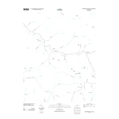 2013 Bradfordsville NE2013 Print · USGSJacktown and the surrounding Kentucky knobs are captured here in the early twenty-first century. Researchers can locate family burial sites like Weatherford Cem and Malone Cem or trace the Button Knob Lookout Tower and Stacy Falls.
 - 2013 Map of Bradfordsville, 2013 Print
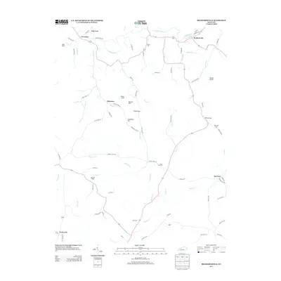 2013 Bradfordsville2013 Print · USGSBradfordsville and the surrounding Kentucky countryside appear here in the early twenty-first century, centered on the Rolling Fork watershed. Genealogists and local historians can locate rural burial sites like Tallow Creek Cem and trace old routes through Stayton Gap or toward Merrimac.
 - 2013 Map of Dunnville, 2013 Print
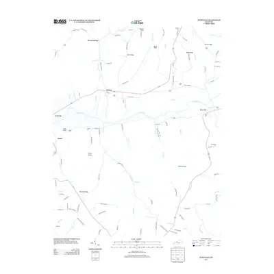 2013 Dunnville2013 Print · USGSSouth-central Kentucky’s river valleys and upland ridges are captured here during the early 2010s. Local researchers can trace family roots through numerous burial sites like Hatfield Cem and Williams Cem, or explore the rural layout of Pellyton and Neatsville.
 - 2013 Map of Clementsville, 2013 Print
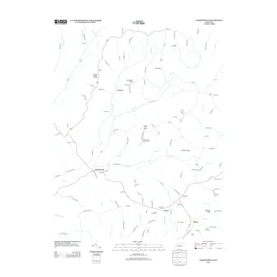 2013 Clementsville2013 Print · USGSKentucky's rural uplands are mapped here in the early twenty-first century, showcasing a landscape of ridge-top roads and creek-valley settlements. Genealogists can trace family roots through numerous sites like Noel Chapel, Belton Cem, and the uniquely named Chicken Gizzard Ridge.
 - 2013 Map of Gravel Switch, 2013 Print
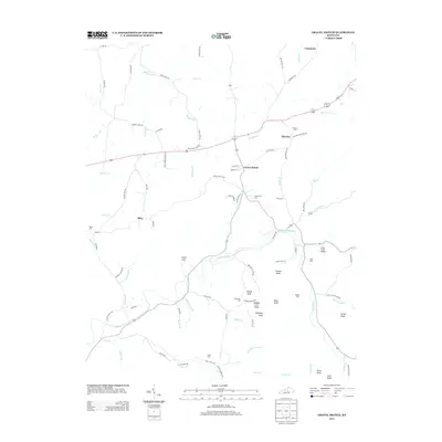 2013 Gravel Switch2013 Print · USGSMarion County in the early twenty-first century reveals a landscape of dispersed rural settlements and family landmarks. Researchers can trace ancestral connections through several local sites including Aliceton Cem, Craintown, and the high ground of Buffalo Lick Knob.
 - 2013 Map of Mannsville, 2013 Print
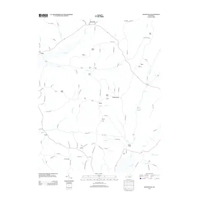 2013 Mannsville2013 Print · USGSAdair County and the surrounding ridges are shown here in the early twenty-first century, featuring a dense network of rural hamlets and cemeteries. Genealogists can trace family landmarks like Stayton Cem, Gaddis Ridge Cem, and the settlement at Casey Creek.
 - 2013 Map of Liberty, 2013 Print
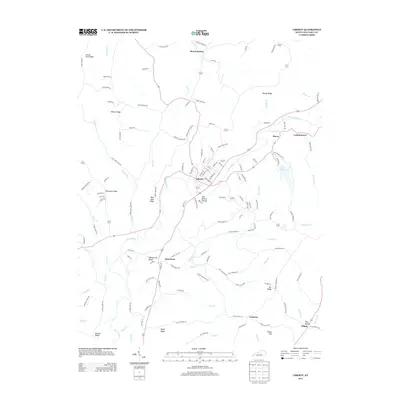 2013 Liberty2013 Print · USGSThe Green River valley in central Kentucky comes into focus during this early twenty-first-century survey of Casey County. Local historians can trace family-named routes and small communities from Liberty to Gilpin, including Mill Branch Hollow and Pricetown.
 - 2013 Map of Science Hill, 2013 Print
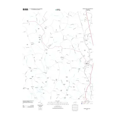 2013 Science Hill2013 Print · USGSPulaski County at the start of the 2010s shows a landscape of interconnected ridge settlements and valley streams. Researchers can trace family history through local landmarks like Spaw Cemetery Rd or explore the area's rural development around Science Hill, Ansel, and Hogue.
Showing maps 1-25 of 68
Top cities of Casey County
Frequently asked questions
- What are the different types of historical maps available for Casey County?
- What is the oldest map of Casey County?
- Where can I purchase historical maps of Casey County for my home or office?
- Where can I download high-res historical maps of Casey County?
- Are there historical topographic maps available for Casey County?
- Is there historical aerial imagery available for Casey County?
- Where are historical maps of Casey County sourced from?