2020s Maps of Cumberland County, Kentucky
Explore 13 historic maps of Cumberland County from the 2020s. These maps offer a rare glimpse into what life looked like during the 2020s — showing old roads, neighborhoods, homes, and landmarks that have changed or disappeared over time.
Whether you're researching your family's past, planning a metal detecting trip, or studying how Cumberland County's landscape evolved across the 2020s, these high-resolution maps are a powerful tool for exploring the history of this region.
- Focus on a specific era: All maps on this page are from the 2020s, giving you a focused view of this time period.
- See what’s changed: Compare century-old streets, trails, and buildings to today's modern landscape using overlays and satellite layers.
- Research with precision: Use these maps for genealogy, historical research, land use analysis, or educational projects.
- View, download, or print: Maps are fully viewable online in high resolution, and can be downloaded or printed for your own records.
Start exploring Cumberland County's history through authentic maps from the 2020s. This is your window into the past.
Cumberland County, KY maps
(13)- 2022 Map of Dale Hollow Dam, 2022 Print
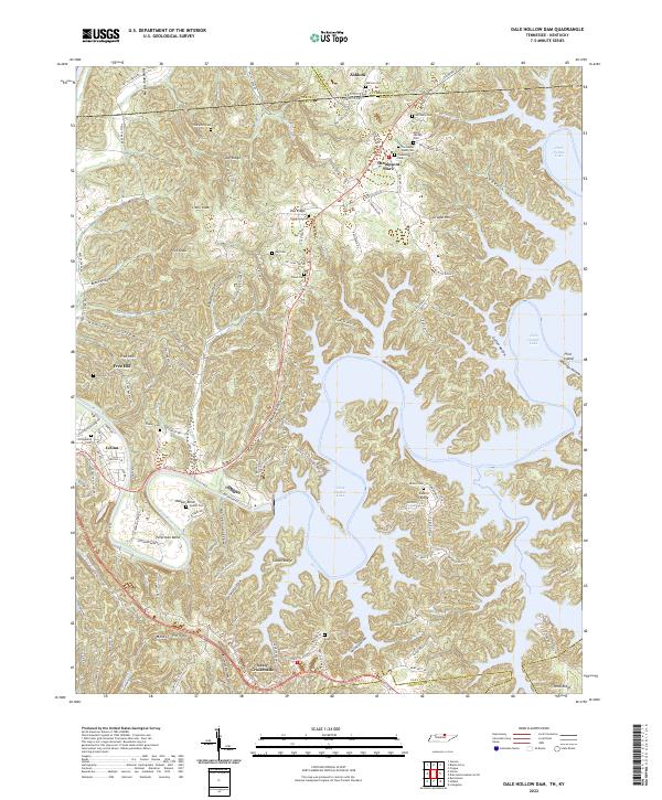 2022 Dale Hollow Dam2022 Print · USGSClay County and the Tennessee-Kentucky border are defined by the winding waters of the Obey River and the plateau ridges. Genealogists can trace family heritage through numerous remote burial sites like Free Hill Cem, Tinsley Cem, and Thompson Webb Cem.
 - 2022 Map of Dale Hollow Reservoir SE, 2022 Print
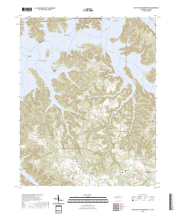 2022 Dale Hollow Reservoir SE2022 Print · USGSThe Dale Hollow Reservoir region in North-Central Tennessee is captured here in the early twenty-first century, showing the complex interaction of modern waters and old upland settlements. Trace family history through numerous burial sites like Chowning Cem or explore the ridges surrounding Willow Grove and Taylors Crossroads.
 - 2022 Map of Breeding, 2022 Print
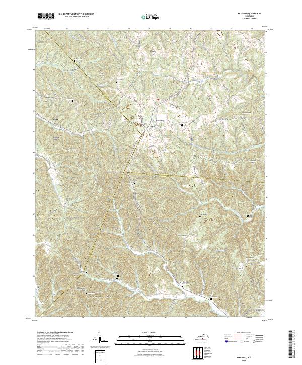 2022 Breeding2022 Print · USGSThis rural portion of Southern Kentucky at the Adair and Cumberland county line shows a landscape of family-named ridges and hollows. Genealogists can locate numerous family burial sites and landmarks like the Garrett Family Cem, Firquin Grave Yard, and White Hill Cem.
 - 2022 Map of Vernon, 2022 Print
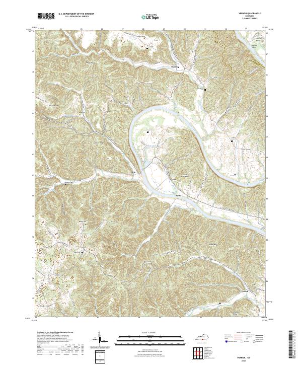 2022 Vernon2022 Print · USGSMonroe County, Kentucky, is defined by the winding path of the Cumberland River in the early twenty-first century. Researchers can trace ancestral locations through numerous family cemeteries like Gee Cem and Thompson Cem or explore riverside locales such as Turkey Neck Bend.
 - 2022 Map of Dubre, 2022 Print
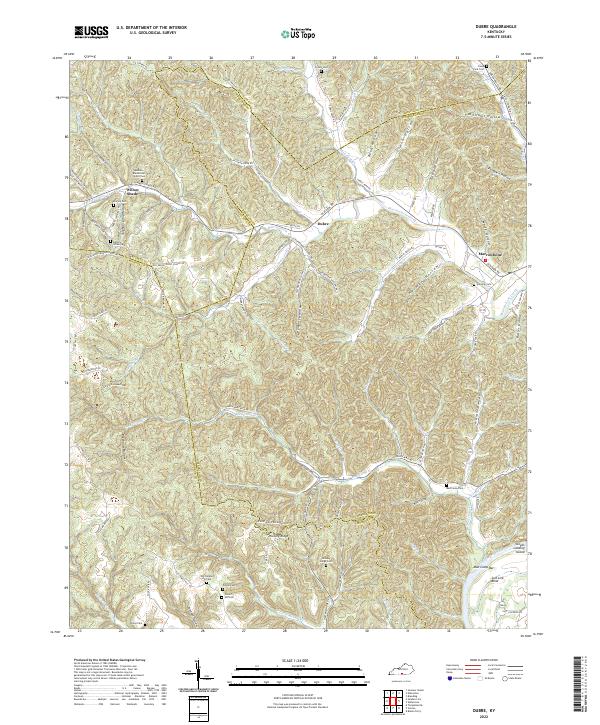 2022 Dubre2022 Print · USGSSouthern Kentucky's ridge-and-hollow country is documented here in the early 2020s, showing where Metcalfe, Cumberland, and Monroe counties meet. Researchers can trace family history through numerous landmarks like Old Temple Hill Cem, Franklin Cem, and the settlement of Willow Shade.
 - 2022 Map of Creelsboro, 2022 Print
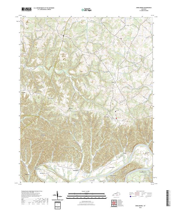 2022 Creelsboro2022 Print · USGSThe Kentucky riverlands near the Cumberland come alive in this recent survey. Researchers can locate the Rock House Natural Bridge or trace family lineages near Old Olga and the Ragen Cem.
 - 2022 Map of Waterview, 2022 Print
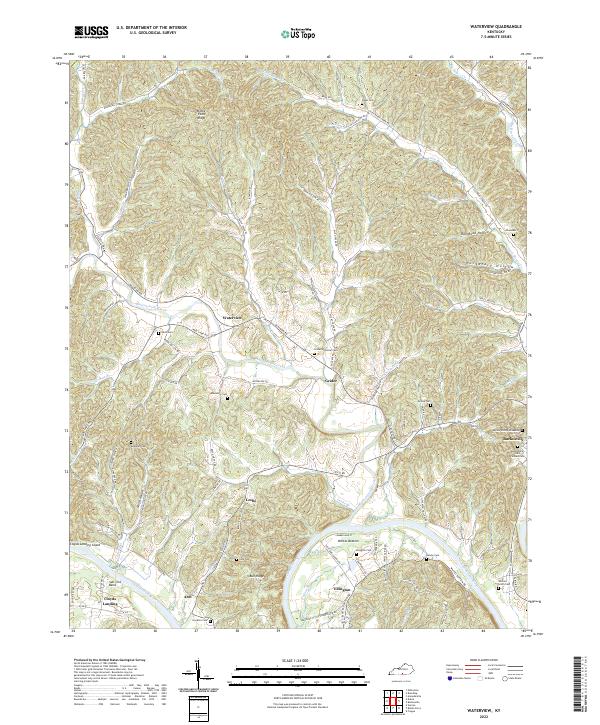 2022 Waterview2022 Print · USGSCumberland County's river-carved landscape comes into focus in this contemporary survey of the hills and hollows surrounding the Cumberland River. Researchers can trace family history through sites like the Burkesville Odd Fellows Cem and the remote Alpine Hilltop Gravesite.
 - 2022 Map of Burkesville, 2022 Print
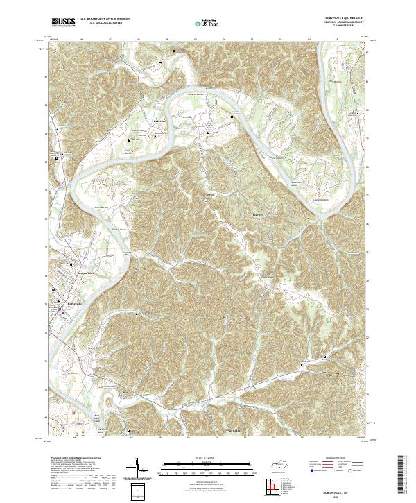 2022 Burkesville2022 Print · USGSCumberland County, Kentucky, is captured in this recent survey, showcasing the deep river bends and rural communities. Researchers can trace local history through sites like the Cumberland County Courthouse, Bakertown Cem, and the Xerxes Post Office Rd.
 - 2022 Map of Amandaville, 2022 Print
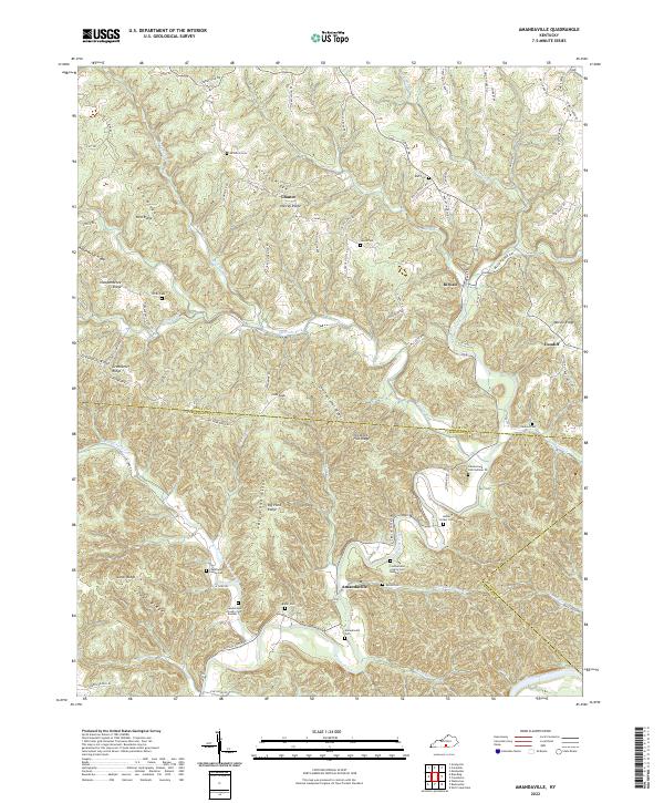 2022 Amandaville2022 Print · USGSAdair and Cumberland Counties in the early 2020s remain defined by their winding creek bottoms and high ridges. Genealogists can trace family legacies at Amandaville Cem, Duvall Cem, and many numbered sites along the Cumberland River.
 - 2022 Map of Blacks Ferry, 2022 Print
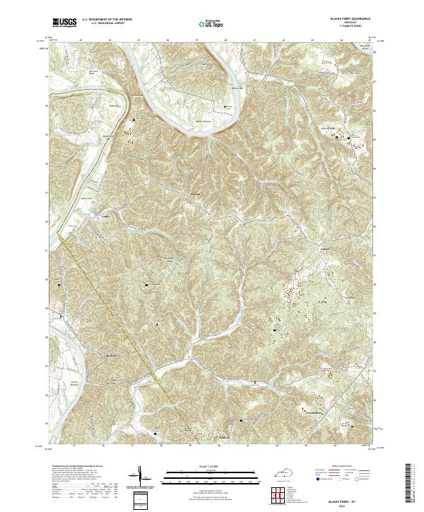 2022 Blacks Ferry2022 Print · USGSThe Cumberland River loops through the Kentucky borderlands of Cumberland and Monroe counties in this recent survey. Local historians and genealogists can trace family footprints across Peytonsburg and Judio, or locate ancestral burial sites like Coe Ridge Cem and Killman Cem.
 - 2022 Map of Albany, 2022 Print
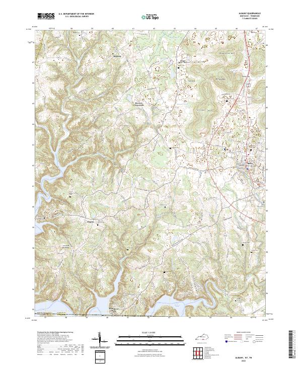 2022 Albany2022 Print · USGSClinton County, Kentucky, near the Tennessee line, is centered on the seat of Albany during the early 2020s. Researchers can trace family history through numerous rural burial grounds such as Memorial Hill Cem and Cedar Hill Church Cem, or locate landmarks like the Clinton County Courthouse.
 - 2022 Map of Frogue, 2022 Print
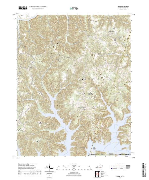 2022 Frogue2022 Print · USGSThe Cumberland and Clinton County line meets the Tennessee border in this modern map of a deeply dissected reservoir landscape. Genealogists can locate numerous family burial grounds like Mount Pleasant Cem and Grace Cem or trace old routes near Frogue and Hegira.
 - 2022 Map of Wolf Creek Dam, 2022 Print
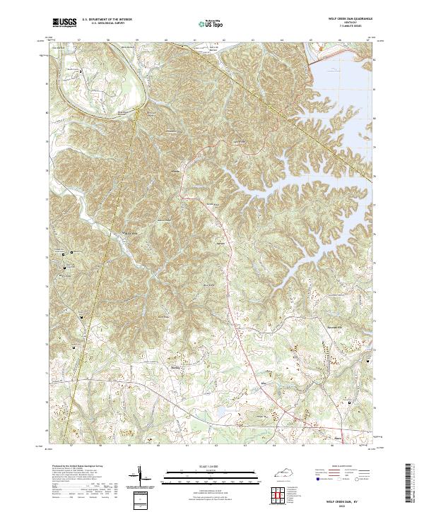 2022 Wolf Creek Dam2022 Print · USGSClinton and Russell counties appear here in the early 2020s, showing the intersection of ridge-top living and the deep Cumberland River valley. Researchers can locate family landmarks like the Reeder-Family Cem and the distinctive Seventy Six Falls near the old settlement of Seventy-Six.
End of results
Showing maps 1-13 of 13
Top cities of Cumberland County
Frequently asked questions
- What are the different types of historical maps available for Cumberland County?
- What is the oldest map of Cumberland County?
- Where can I purchase historical maps of Cumberland County for my home or office?
- Where can I download high-res historical maps of Cumberland County?
- Are there historical topographic maps available for Cumberland County?
- Is there historical aerial imagery available for Cumberland County?
- Where are historical maps of Cumberland County sourced from?