Old Maps of Whitesville, Kentucky for Metal Detecting
Plan your next treasure hunt with 20 historic maps of Whitesville. Find old homesites, ghost towns, trails, and gathering spots that may be lost to time — perfect for identifying promising metal detecting locations.
- Locate forgotten sites: Uncover places like long-lost settlements, abandoned rail lines, or gathering spots.
- Plan better hunts: Use map overlays combined with LiDAR or satellite views to narrow in on historically rich areas.
- Made for detectorists: Thousands of hobbyists use these maps to discover relics, coins, and hidden history.
Use these historic maps to boost your research and find new opportunities beneath the surface of Whitesville.
Whitesville, KY maps
(20)- 1907 Map of Whitesville, 1962 Print
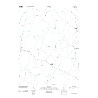
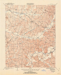 1907 Whitesville1962 Print · USGSDaviess and Ohio counties are captured here in the early 1900s, showcasing a rural landscape of crossroads settlements and river fords. Genealogists can locate specific family-named landmarks and community hubs like Hewlett's Store, Tanglewood School, and Little Zion Church.
 - 1909 Map of Whitesville
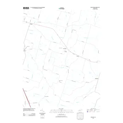
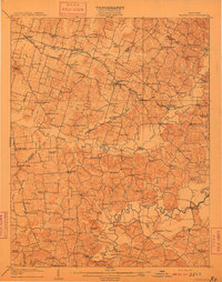 1909 Whitesville1909 Print · USGSKentucky's rural interior comes into focus here during the early 1900s, showing a landscape of small farming communities and river crossings. Genealogists can trace family roots through dozens of local landmarks like Whalen PO, St Thomas Church, and Berry School.2 unique versions available
 - 1953 Map of Philpot, 1954 Print
 1953 Philpot1954 Print · USGSDaviess and Ohio counties in the early fifties show a landscape of oil production and rural community life. Trace family roots at Karns Grove Ch or follow the Illinois Central Line past Philpot and Whitesville.
 - 1953 Map of Whitesville, 1955 Print
 1953 Whitesville1955 Print · USGSDaviess and Ohio counties in the early fifties reveal a landscape of active energy production and rail-dependent commerce. Local historians can trace the Illinois Central line through Reynolds Sta or locate family sites at St Thomas Cem and Old Panther Ch.
 - 1954 Map of Evansville
 1954 Evansville1954 Print · USGSThe Ohio River borderlands between Indiana and Kentucky appear here during a period of robust industrial and military growth. Genealogists and researchers can trace the rail corridors of the Illinois Central and find landmarks like US Lock and Dam No 48 or Camp Breckinridge.
 - 1957 Map of Evansville, 1969 Print
 1957 Evansville1969 Print · USGSIndiana and Kentucky meet along the Ohio River in this mid-century survey of a vital industrial and transport corridor. Genealogists and historians can trace the development of river towns like Owensboro and Newburgh or locate old rail lines like the Southern Ry.3 unique versions available
 - 1961 Map of Evansville
 1961 Evansville1961 Print · USGSThe Ohio River valley and its surrounding coalfields are captured here during the late fifties and early sixties. Trace the industrial rail networks of the Illinois Central RR and explore regional landmarks like Mammoth Cave National Park and Angel Mounds State Memorial.2 unique versions available
 - 1973 Map of Philpot, 1974 Print
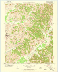
 1973 Philpot1974 Print · USGSDaviess and Ohio Counties were hubs of energy and transport in the early seventies, dominated by gas storage fields and the Illinois Central Gulf line. Researchers can trace rural lineages through the Bethabara Cem, Dawson Ch, and family-named routes like Barnhill Road.
 - 1986 Map of Tell City
 1986 Tell City1986 Print · USGSThe Ohio River valley and the Kentucky interior come alive in this mid-eighties record of industry and recreation. Genealogists and historians can trace small rural settlements like Victoria Crossroads, local landmarks such as St Rose, and the extensive shoreline of Rough River Lake.
 - 1991 Map of Tell City
 1991 Tell City1991 Print · USGSThe Ohio River valley at the start of the nineties reveals a landscape of riverfront industry and sprawling conservation lands. Genealogists can locate family landmarks like Wesley Chapel and rural communities such as Reynolds Station and Maceo.
 - 2010 Map of Whitesville, 2010 Print
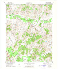
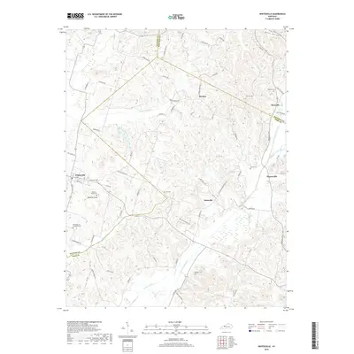
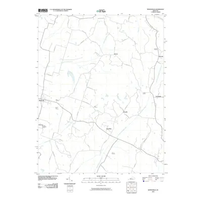 2010 Whitesville2010 Print · USGSCovers Whitesville, including Roseville, Herbert, and other nearby areas
 - 2010 Map of Philpot, 2010 Print
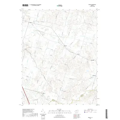
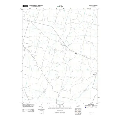 2010 Philpot2010 Print · USGSCovers Whitesville, including Habit, Grandview, and other nearby areas
 - 2013 Map of Philpot, 2013 Print
 2013 Philpot2013 Print · USGSCovers Whitesville, including Habit, Grandview, and other nearby areas
 - 2013 Map of Whitesville, 2013 Print
 2013 Whitesville2013 Print · USGSCovers Whitesville, including Roseville, Herbert, and other nearby areas
 - 2016 Map of Whitesville, 2016 Print
 2016 Whitesville2016 Print · USGSCovers Whitesville, including Roseville, Herbert, and other nearby areas
 - 2016 Map of Philpot, 2016 Print
 2016 Philpot2016 Print · USGSCovers Whitesville, including Habit, Grandview, and other nearby areas
 - 2019 Map of Whitesville, 2019 Print
 2019 Whitesville2019 Print · USGSCovers Whitesville, including Roseville, Herbert, and other nearby areas
 - 2019 Map of Philpot, 2019 Print
 2019 Philpot2019 Print · USGSCovers Whitesville, including Habit, Grandview, and other nearby areas
 - 2022 Map of Whitesville, 2022 Print
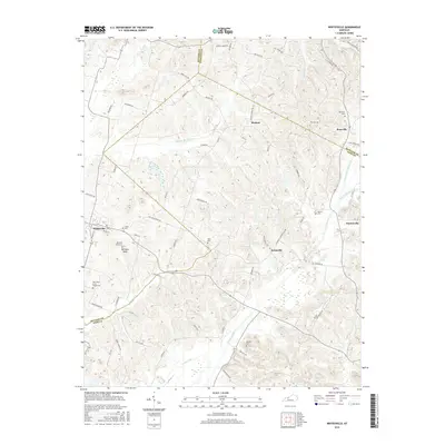
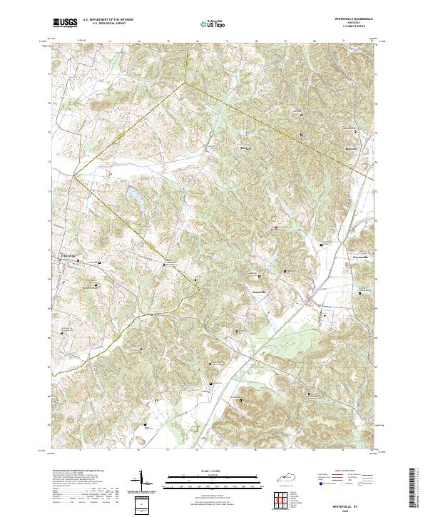 2022 Whitesville2022 Print · USGSThe tri-county border area of Daviess, Ohio, and Hancock counties is mapped here in the early twenty-first century. Genealogists can locate numerous small burial sites, including Saint Mary of the Woods Cem, Barnetts Knob Cem, and Friendship Community Cem.
 - 2022 Map of Philpot, 2022 Print
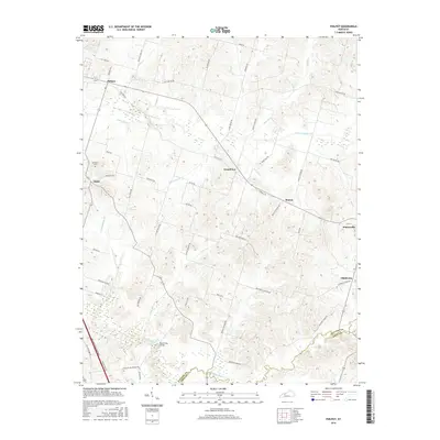
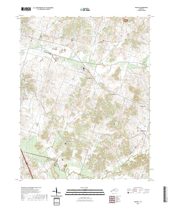 2022 Philpot2022 Print · USGSEastern Daviess County comes into focus in the early 2020s, showing a landscape of rural crossroads and family legacies. Researchers can locate many small burial sites like Richardson Jones Cem and trace the paths of N Fork Panther Cr through Grandview and Whitesville.
End of results
Showing maps 1-20 of 20
Top cities near Whitesville
- Owensboro historical maps
- Hartford historical maps
- Rockport historical maps
- Cannelton historical maps
- Cloverport historical maps
- Hawesville historical maps
See more
Frequently asked questions
- What are the different types of historical maps available for Whitesville?
- What is the oldest map of Whitesville?
- Where can I purchase historical maps of Whitesville for my home or office?
- Where can I download high-res historical maps of Whitesville?
- Are there historical topographic maps available for Whitesville?
- Is there historical aerial imagery available for Whitesville?
- Where are historical maps of Whitesville sourced from?