2000s (21st Century) Maps of Union City, Kentucky
Explore 5 historic maps of Union City from the 2000s (21st Century). These maps offer a rare glimpse into what life looked like during the 2000s — showing old roads, neighborhoods, homes, and landmarks that have changed or disappeared over time.
Whether you're researching your family's past, planning a metal detecting trip, or studying how Union City's landscape evolved across the 2000s, these high-resolution maps are a powerful tool for exploring the history of this region.
- Focus on a specific era: All maps on this page are from the 2000s, giving you a focused view of this time period.
- See what’s changed: Compare century-old streets, trails, and buildings to today's modern landscape using overlays and satellite layers.
- Research with precision: Use these maps for genealogy, historical research, land use analysis, or educational projects.
- View, download, or print: Maps are fully viewable online in high resolution, and can be downloaded or printed for your own records.
Start exploring Union City's history through authentic maps from the 2000s. This is your window into the past.
Union City, KY maps
(5)- 2010 Map of Mammoth Cave, 2010 Print
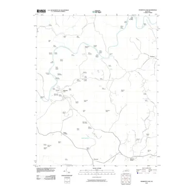 2010 Mammoth Cave2010 Print · USGSCovers Union City, including Chaumont, Tom Johns Crossing, and other nearby areas
 - 2013 Map of Mammoth Cave, 2013 Print
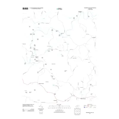 2013 Mammoth Cave2013 Print · USGSCovers Union City, including Chaumont, Tom Johns Crossing, and other nearby areas
 - 2016 Map of Mammoth Cave, 2016 Print
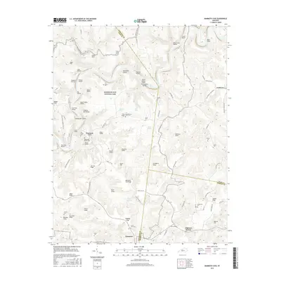 2016 Mammoth Cave2016 Print · USGSCovers Union City, including Chaumont, Tom Johns Crossing, and other nearby areas
 - 2019 Map of Mammoth Cave, 2019 Print
 2019 Mammoth Cave2019 Print · USGSCovers Union City, including Chaumont, Tom Johns Crossing, and other nearby areas
 - 2022 Map of Mammoth Cave, 2022 Print
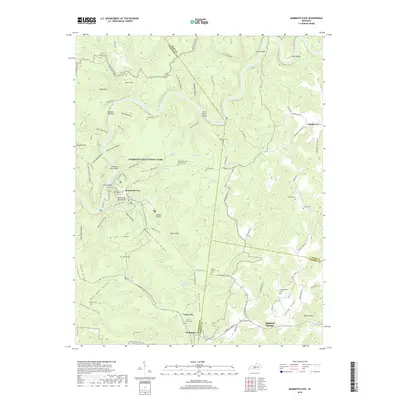
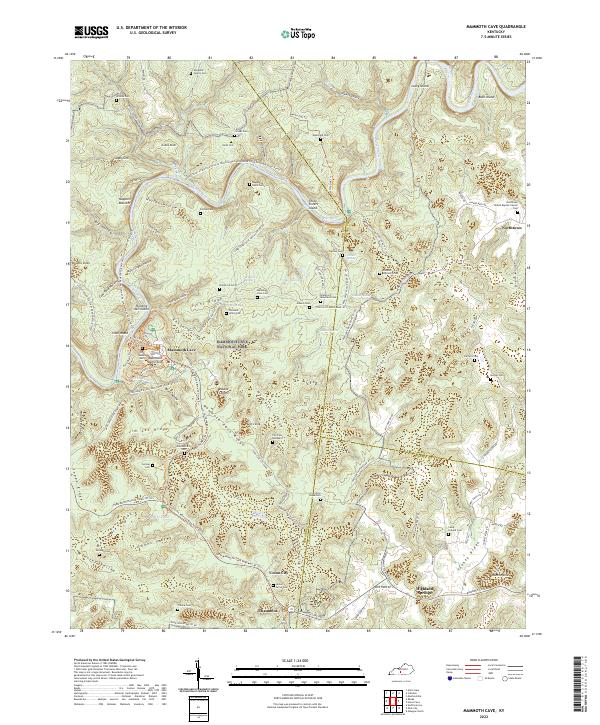 2022 Mammoth Cave2022 Print · USGSEdmonson and Hart counties are captured here as they appeared in 2022, centered on the world-renowned karst landscape of the Green River corridor. Researchers can trace historic family burial sites like Old Guides Cem or follow the route of the Mammoth Cave Railroad Bike And Hike Trl.
End of results
Showing maps 1-5 of 5
Top cities near Union City
- Glasgow historical maps
- Cave City historical maps
- Horse Cave historical maps
- Munfordville historical maps
- Brownsville historical maps
- Smiths Grove historical maps
See more
Frequently asked questions
- What are the different types of historical maps available for Union City?
- What is the oldest map of Union City?
- Where can I purchase historical maps of Union City for my home or office?
- Where can I download high-res historical maps of Union City?
- Are there historical topographic maps available for Union City?
- Is there historical aerial imagery available for Union City?
- Where are historical maps of Union City sourced from?