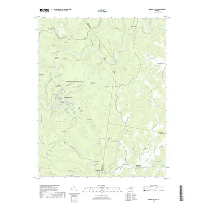
2019 Map of Mammoth Cave
USGS Topo · Published 2019About this map
Mammoth Cave National Park encompasses a complex subterranean and surface landscape defined by its karst topography and the winding Green River. The subterranean reaches are marked by surface features such as the Mammoth Dome Sink, Double Cellars, and Hunts Sink, which indicate the vast cave systems below Flint Ridge and Mammoth Cave Ridge. Cultural history is preserved in numerous small burial grounds throughout the park and surrounding areas, including the Old Guides Cem, which honors those who explored these caverns, and the Mammoth Cave Baptist Cem. Former transportation corridors are visible in the Mammoth Cave Railroad Bike and Hike Trail, tracing the path of the old rail line that once brought visitors to the cave entrance. Settlements like Chaumont, Union City, and Northtown anchor the region's rural boundaries across Edmonson, Hart, and Barren counties.
Find a feature on this map
104 named features on this map. Tap any name to fly to it.
Don’t see what you’re looking for? This feature index may not catch every label — zoom into the map to look around manually.
Map Details
Editions of this 2019 Mammoth Cave Map
This is the sole edition of this map. No revisions or reprints were ever made.
Other maps of this area

1922 · Mammoth Cave
USGS Topo · 1:62,500

1923 · Mammoth Cave
USGS Topo · 1:62,500

1925 · Cub Run
USGS Topo · 1:62,500

1934 · Munfordville
USGS Topo · 1:48,000

1935 · Horse Cave
USGS Topo · 1:48,000

1937 · Munfordville
USGS Topo · 1:62,500

1938 · Horse Cave
USGS Topo · 1:62,500

1953 · Munfordville
USGS Topo · 1:24,000

1954 · Evansville
USGS Topo · 1:250,000

1954 · Horse Cave
USGS Topo · 1:24,000