
1953 Map of Munfordville
USGS Topo · Published 1955About this map
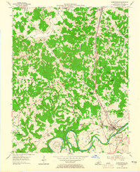
The Green River carves a deep, sinuous path through this mid-century Hart County landscape, defining the sharp topography of Lower Bend and Row Bend. In the southeast, Munfordville serves as a critical junction where the Louisville and Nashville railroad and the Dixie Highway converge to cross the river. The presence of a Civil War Monument near Woodsonville points to the area's strategic importance during the conflict, marking the site of significant river crossings.
Find a feature on this map
43 named features on this map. Tap any name to fly to it.
Don’t see what you’re looking for? This feature index may not catch every label — zoom into the map to look around manually.
Map Details
Editions of this 1953 Munfordville Map
2 editions found
Other maps of this area

1922 · Mammoth Cave
USGS Topo · 1:62,500

1923 · Mammoth Cave
USGS Topo · 1:62,500

1925 · Cub Run
USGS Topo · 1:62,500

1934 · Munfordville
USGS Topo · 1:48,000

1935 · Horse Cave
USGS Topo · 1:48,000

1937 · Munfordville
USGS Topo · 1:62,500

1938 · Horse Cave
USGS Topo · 1:62,500
1953 · Canmer
USGS Topo · 1:24,000

1954 · Evansville
USGS Topo · 1:250,000

1954 · Park
USGS Topo · 1:24,000