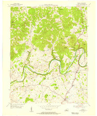
1953 Map of Canmer
USGS Topo · Published 1955About this map
The Green River carves a dramatic, winding path through this portion of Hart County, creating distinct peninsulas like Sims Bend and Thomas Bend. In the early 1950s, the landscape was defined by these deep river loops and a series of prominent elevations including Frenchman Knob and Smith Knobs. The rural economy and community life centered on small settlements like Canmer and Hardyville, both situated along the primary north-south corridor of Highway 31E. This roadway serves as the backbone for the region's development, connecting several country churches such as Gilead Ch and local education at Memorial Sch. The map reveals a pattern of upland farming and hollows, where names like Moonshine Hollow and Three Kiln Knob hint at the traditional land use and local geography of the mid-twentieth century.
Find a feature on this map
31 named features on this map. Tap any name to fly to it.
Don’t see what you’re looking for? This feature index may not catch every label — zoom into the map to look around manually.
Map Details
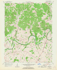
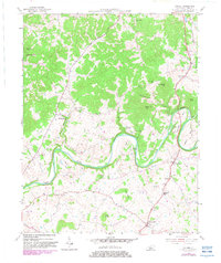
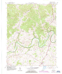
Editions of this 1953 Canmer Map
4 editions found
Other maps of this area

1934 · Munfordville
USGS Topo · 1:48,000

1935 · Horse Cave
USGS Topo · 1:48,000

1937 · Munfordville
USGS Topo · 1:62,500

1938 · Horse Cave
USGS Topo · 1:62,500

1953 · Hudgins
USGS Topo · 1:24,000

1953 · Munfordville
USGS Topo · 1:24,000

1953 · Magnolia
USGS Topo · 1:24,000

1953 · Center
USGS Topo · 1:24,000

1954 · Park
USGS Topo · 1:24,000

1954 · Horse Cave
USGS Topo · 1:24,000