Loading...
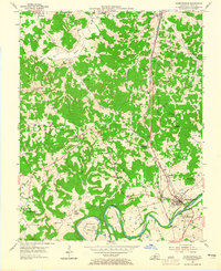
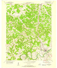
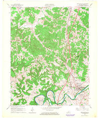
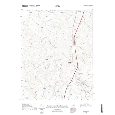
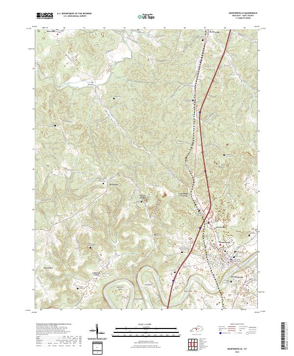
Loading map...1953 Map of Munfordville
USGS Topo · Published 1965About this map
The Green River meanders sharply through the heart of Hart County, creating dramatic topographic bends like Lowlar Bend and Row Bend before reaching the historic crossing at Munfordville. This mid-century landscape is defined by the heavy infrastructure of the Louisville and Nashville railroad and the Dixie Highway, which parallel one another through Bonnieville and past the high ground of Dividing Ridge.
Find a feature on this map
46 named features on this map. Tap any name to fly to it.
Don’t see what you’re looking for? This feature index may not catch every label — zoom into the map to look around manually.
Map Details
Date Portrayed1953
Date Published1965
PublisherU.S. Geological Survey
Map TypeTopographic
Scale1:24,000
Physical Dimensions22 x 27 inches
Editions of this 1953 Munfordville Map
2 editions found
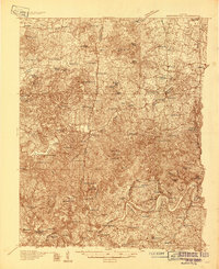
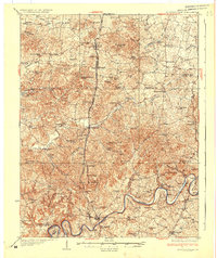
Historical Maps of Munfordville Through Time
9 maps found
Featured Locations
Source Details
SourceU.S. Geological Survey
CopyrightPublic Domain