2010s Maps of Fleming County, Kentucky
Explore 56 historic maps of Fleming County from the 2010s. These maps offer a rare glimpse into what life looked like during the 2010s — showing old roads, neighborhoods, homes, and landmarks that have changed or disappeared over time.
Whether you're researching your family's past, planning a metal detecting trip, or studying how Fleming County's landscape evolved across the 2010s, these high-resolution maps are a powerful tool for exploring the history of this region.
- Focus on a specific era: All maps on this page are from the 2010s, giving you a focused view of this time period.
- See what’s changed: Compare century-old streets, trails, and buildings to today's modern landscape using overlays and satellite layers.
- Research with precision: Use these maps for genealogy, historical research, land use analysis, or educational projects.
- View, download, or print: Maps are fully viewable online in high resolution, and can be downloaded or printed for your own records.
Start exploring Fleming County's history through authentic maps from the 2010s. This is your window into the past.
Fleming County, KY maps
(56)- 2010 Map of Cowan, 2010 Print
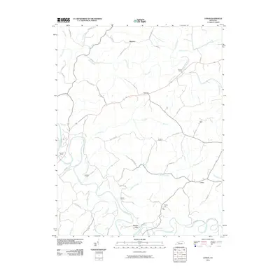 2010 Cowan2010 Print · USGSThe Licking River valley comes into sharp focus during this era, revealing a landscape of small settlements and family burial grounds. Researchers can trace the winding Old Buffalo Trl, locate Big Tunnel at Tunnel Hill, and find ancestral sites like Standiford Cemetery.
 - 2010 Map of Moorefield, 2010 Print
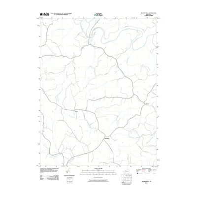 2010 Moorefield2010 Print · USGSNicholas County at the start of the 21st century remains a landscape of traditional Kentucky ridge-and-valley farming. Researchers can trace historic family properties along Old Moorefield Rd or locate the rural communities of Weston, Moorefield, and Sprout.
 - 2010 Map of Burtonville, 2010 Print
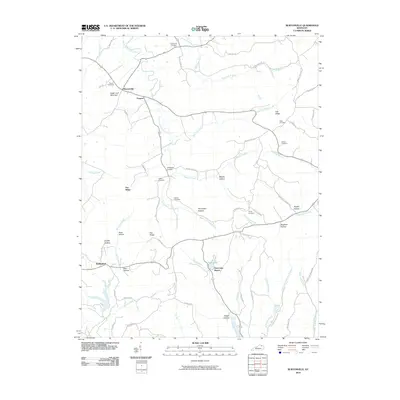 2010 Burtonville2010 Print · USGSThe rural hills of Lewis County are captured here in the early twenty-first century, showing a landscape defined by the North Fork Licking River. Researchers can trace family history through numerous burial sites like Burtonville Cemetery or locate the Park Lake Resort.
 - 2010 Map of Tollesboro, 2010 Print
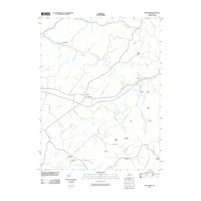 2010 Tollesboro2010 Print · USGSThe rural uplands of Lewis County are documented here in the early twenty-first century as the area transitioned between traditional farming and modern development. Genealogists can trace family connections through the Whitehouse Post Office, the grounds of Ruggles Camp, and old settlements like Ribolt.
 - 2010 Map of Flemingsburg, 2010 Print
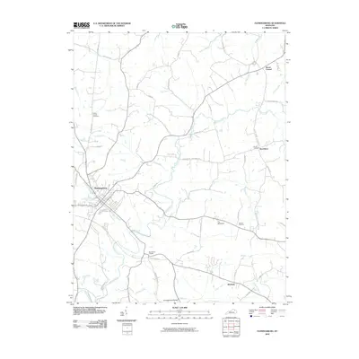 2010 Flemingsburg2010 Print · USGSFleming County in the early twenty-first century remains a landscape of historic crossroads and creek-side settlements. Genealogists and local historians can locate family burial grounds like Arnold Cemetery and trace civil landmarks from Beechburg to the Double D Trestle.
 - 2010 Map of Sherburne, 2010 Print
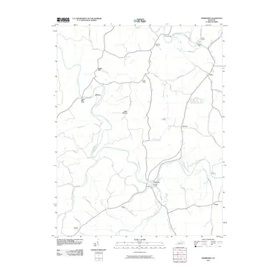 2010 Sherburne2010 Print · USGSNicholas County settlements and river crossings are well-defined in this 2010 survey of the Licking River valley. Researchers can trace rural lineages through sites like Gilead Cemetery and locate historical landmarks including The Iron Bridge and Marthas Mills.
 - 2010 Map of Elizaville, 2010 Print
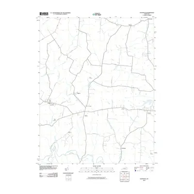 2010 Elizaville2010 Print · USGSFleming County's rural communities and farm networks are captured here at the start of the 2010s. Researchers can trace family history through a high concentration of burial sites like Elizaville Cemetery and landmarks such as the Ewing Fairgrounds.
 - 2010 Map of Hillsboro, 2010 Print
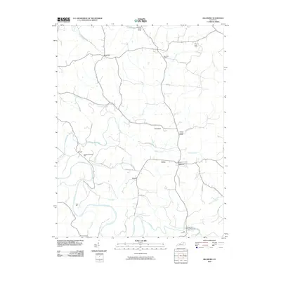 2010 Hillsboro2010 Print · USGSFleming County, Kentucky, maintains its traditional rural structure in the early twenty-first century, anchored by family-named landmarks and river crossings. Trace local history through Hillsboro Cemetery, the historic Days Mill, and the Grange City Fox Creek Bridge.
 - 2010 Map of Orangeburg, 2010 Print
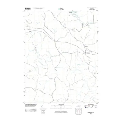 2010 Orangeburg2010 Print · USGSMason County’s rural character and riverfront history are on display in this 2010 survey of the area south of the Ohio. Researchers can trace family ties and old landmarks through Rectorville, Nash Cemetery, and the historic site of Taylors Mill.
 - 2010 Map of Plummers Landing, 2010 Print
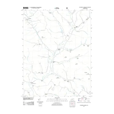 2010 Plummers Landing2010 Print · USGSFleming County's rural character is on full display in this 2010 survey of the hollows and hills surrounding Plummers Landing. Genealogists and local historians can trace family roots through sites like the Goddard Covered Bridge, Muses Mills Church, and the Jackson Family Cemetery.
 - 2011 Map of Farmers, 2011 Print
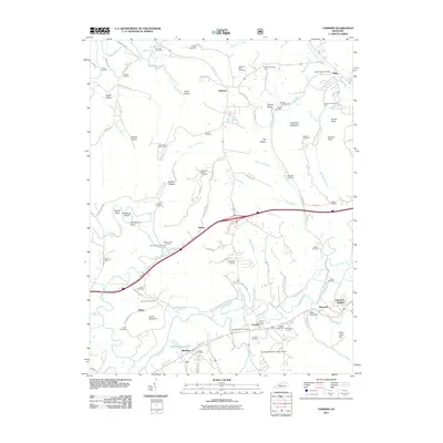 2011 Farmers2011 Print · USGSThe Licking River valley and its surrounding ridges are captured here in the early twenty-first century. Genealogists can trace family history through dozens of local sites like Woodford Black Cemetery, Moores Ferry, and the community of Farmers.
 - 2011 Map of Cranston, 2011 Print
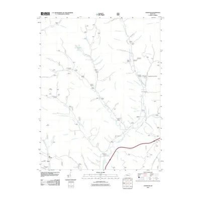 2011 Cranston2011 Print · USGSRowan County's rural communities and family cemeteries are documented here in the early twenty-first century. Genealogists can trace family footprints across dozens of sites like the Wyatt Cemetery, the Hogge Cemetery, and the settlement at Waltz.
 - 2011 Map of Colfax, 2011 Print
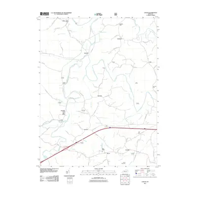 2011 Colfax2011 Print · USGSBath County at the turn of the decade shows a deep-rooted rural landscape where the Licking River meets old Kentucky mining and forging sites. Researchers can trace family history through the Old Virginia Cemetery or locate industrial relics like the Ore Mines and Whickliffe Forge Slate Valley.
 - 2011 Map of Stricklett, 2011 Print
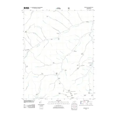 2011 Stricklett2011 Print · USGSSettlement along the Kinniconick Creek drainage in Lewis County is documented here during the early twenty-first century. Genealogists can trace family names through numerous hollows and cemeteries like McEldowney Cemetery, McCless Hollow, and Brown Cemetery Three.
 - 2013 Map of Stricklett, 2013 Print
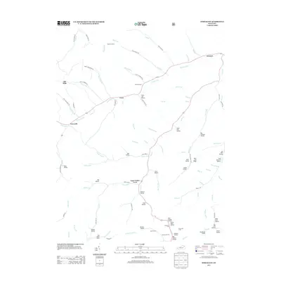 2013 Stricklett2013 Print · USGSThe Lewis County countryside near Stricklett and Petersville is shown here in the early twenty-first century as a network of creek-side settlements and family hollows. Genealogists and local historians can trace small community landmarks like McEldowney Cem, Crum, and the Washman Lookout.
 - 2013 Map of Cowan, 2013 Print
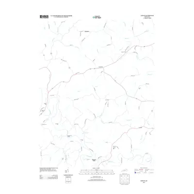 2013 Cowan2013 Print · USGSBlue Licks and the surrounding rural valleys of Robertson County appear in fine detail during the early twenty-first century. Genealogists and local historians can trace family roots through sites like Standiford Cem, Evans Mills, and Blue Licks Spring.
 - 2013 Map of Flemingsburg, 2013 Print
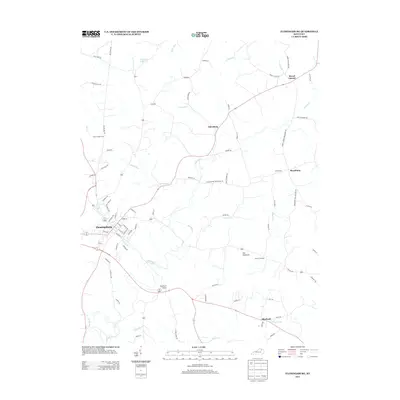 2013 Flemingsburg2013 Print · USGSFleming County's rural heartland and the county seat of Flemingsburg are meticulously detailed in the early twenty-first century. Genealogists and local historians can pinpoint Fitche Chapel Cem, the unique Double D Trestle, and outlying settlements like Mount Carmel.
 - 2013 Map of Elizaville, 2013 Print
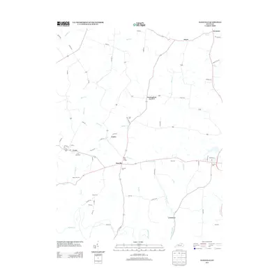 2013 Elizaville2013 Print · USGSFleming County remains a landscape of rural tradition and small settlements in the early twenty-first century. Genealogists and local historians can trace the locations of numerous burial grounds like Jackson Cem and Frank Cem, or locate the Ewing Fairgrounds and Mud Lick Bridge.
 - 2013 Map of Plummers Landing, 2013 Print
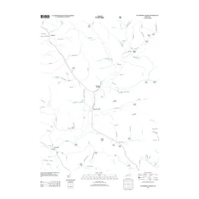 2013 Plummers Landing2013 Print · USGSFleming County’s rural crossroads and water-powered history are preserved in this recent survey of the Kentucky hills. Genealogists and local historians can trace family burial sites like Hurst Cem and explore landmark structures including the Goddard Covered Bridge and Ringos Mills Bridge.
 - 2013 Map of Burtonville, 2013 Print
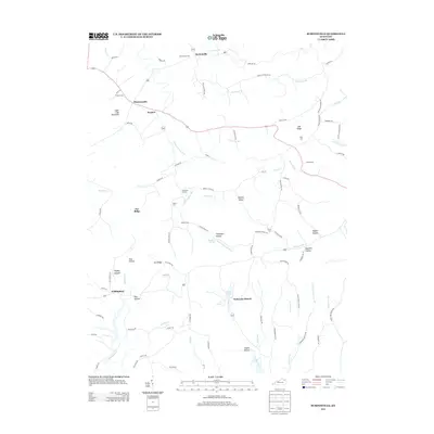 2013 Burtonville2013 Print · USGSThis rural Kentucky landscape in the early twenty-first century reveals a network of upland ridges and deep hollows centered on the N Fork Licking River. Genealogists and local historians can trace family ties through numerous sites like Burtonville Cem, Wallingford, and Carpenter Corners.
 - 2013 Map of Moorefield, 2013 Print
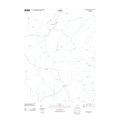 2013 Moorefield2013 Print · USGSNicholas County settlements and creek-bottom lands are shown in detail during the early 21st century. Genealogists and historians can trace family landmarks along Ishmael Chapel Rd or locate the Locust Grove Church Cemetery and the village of Moorefield.
 - 2013 Map of Colfax, 2013 Print
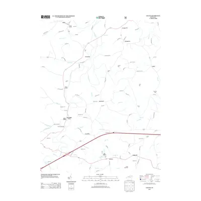 2013 Colfax2013 Print · USGSThe Licking River valley in the early twenty-first century reveals a landscape shaped by early industry and local family lineages. Researchers can trace the proximity of the Ore Mines to small communities like Shrout and locate family burial sites like Atchison Cem.
 - 2013 Map of Hillsboro, 2013 Print
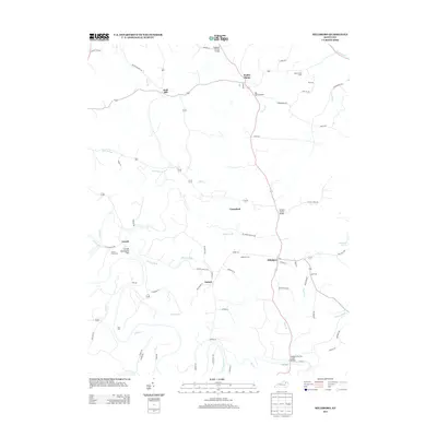 2013 Hillsboro2013 Print · USGSFleming County in the early 2000s remains a landscape of winding creeks and rural crossroads south of the Ohio River. Genealogists and local historians can trace the positions of the Locust Graveyard, Days Mill, and the Graham Trestle Bridge.
 - 2013 Map of Sherburne, 2013 Print
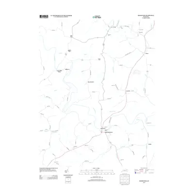 2013 Sherburne2013 Print · USGSThe Licking River valley comes to life in this survey of the Nicholas County countryside during the early twenty-first century. Genealogists and local historians can locate several family cemeteries like Gilead Cem and historic crossings such as The Iron Bridge.
 - 2013 Map of Farmers, 2013 Print
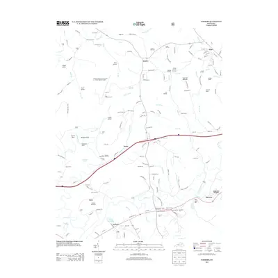 2013 Farmers2013 Print · USGSThe Licking River meanders through Bath and Rowan counties in the early twenty-first century, shaping a landscape of deep bends and fertile valleys. Genealogists can trace decades of local history through numerous sites like Woodford Black Cem, Moores Ferry, and the Ingram-Stevens Cem.
Showing maps 1-25 of 56
Top cities of Fleming County
Frequently asked questions
- What are the different types of historical maps available for Fleming County?
- What is the oldest map of Fleming County?
- Where can I purchase historical maps of Fleming County for my home or office?
- Where can I download high-res historical maps of Fleming County?
- Are there historical topographic maps available for Fleming County?
- Is there historical aerial imagery available for Fleming County?
- Where are historical maps of Fleming County sourced from?