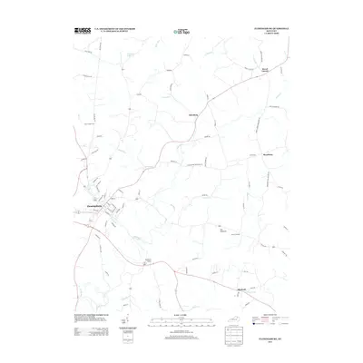
2013 Map of Flemingsburg
USGS Topo · Published 2013About this map
Flemingsburg serves as the central hub for this portion of Fleming County, where a dense network of local roads like Taylor Mill Rd and Mount Gilead Rd connects several smaller outlying settlements. The landscape is defined by the winding course of Fleming Cr and its numerous tributaries, including Sleepy Run and Wilson Run. Small communities such as Mount Carmel, Dalesburg, and Beechburg are scattered across the terrain, reflecting a long-standing pattern of rural Kentucky habitation. For those researching local history, the map provides precise locations for Fitche Chapel Cem and Arnold Cem, as well as the unique Double D Trestle. The transition from the developed streets of the county seat to the elevated prominence of Fox Mountain illustrates the area's varied topography and agricultural character.
Find a feature on this map
82 named features on this map. Tap any name to fly to it.
Don’t see what you’re looking for? This feature index may not catch every label — zoom into the map to look around manually.
Map Details
Editions of this 2013 Flemingsburg Map
This is the sole edition of this map. No revisions or reprints were ever made.
Other maps of this area

1915 · Maysville
USGS Topo · 1:62,500

1919 · Maysville
USGS Topo · 1:62,500

1929 · Springdale
USGS Topo · 1:48,000

1935 · Springdale
USGS Topo · 1:62,500

1951 · Hillsboro
USGS Topo · 1:24,000

1951 · Plummers Landing
USGS Topo · 1:24,000

1951 · Burtonville
USGS Topo · 1:24,000

1951 · Flemingsburg
USGS Topo · 1:24,000

1952 · Sherburne
USGS Topo · 1:24,000

1952 · Elizaville
USGS Topo · 1:24,000