
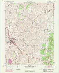
1951 Map of Flemingsburg
USGS Topo · Published 1953About this map
Flemingsburg serves as the focal point of this early 1950s survey, situated at the junction of the Flemingsburg and Northern railroad and several primary local arteries including Fox Spring Road. The surrounding landscape is characterized by a dense network of watercourses and rural settlements, with the Fleming Creek drainage system carving through the terrain alongside Wilson Run and Allison Creek. Local industry and history are evident in the presence of a Rock Quarry and numerous family and community landmarks. Researchers can identify several small outlying hubs such as Mount Carmel, Dalesburg, and Beechburg. The map also documents social and religious life through the labeling of Fitche Chapel and several burial sites like Arnold Cem and Fitche Chapel Cem, providing a detailed spatial record of the county seat and its immediate rural hinterland before significant modern development.
Find a feature on this map
35 named features on this map. Tap any name to fly to it.
Don’t see what you’re looking for? This feature index may not catch every label — zoom into the map to look around manually.
Map Details
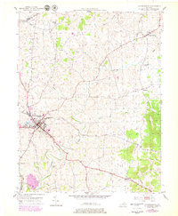
Editions of this 1951 Flemingsburg Map
3 editions found
Other maps of this area

1915 · Maysville
USGS Topo · 1:62,500

1919 · Maysville
USGS Topo · 1:62,500

1929 · Springdale
USGS Topo · 1:48,000

1935 · Springdale
USGS Topo · 1:62,500

1951 · Hillsboro
USGS Topo · 1:24,000

1951 · Plummers Landing
USGS Topo · 1:24,000

1951 · Burtonville
USGS Topo · 1:24,000

1952 · Sherburne
USGS Topo · 1:24,000

1952 · Elizaville
USGS Topo · 1:24,000
1952 · Orangeburg
USGS Topo · 1:24,000