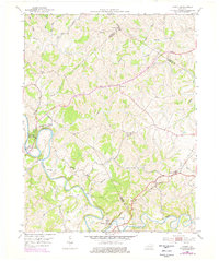
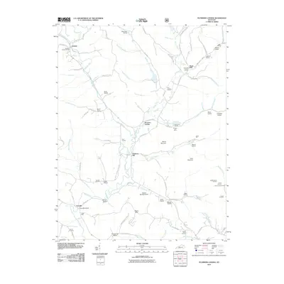
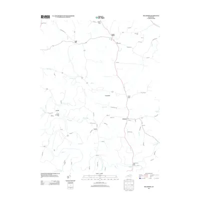
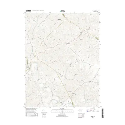
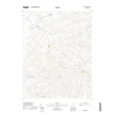
1952 Map of Sherburne
USGS Topo · Published 1953About this map
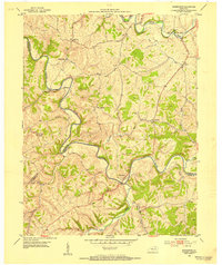
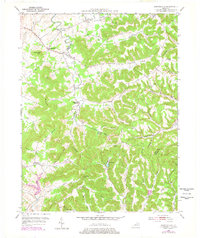
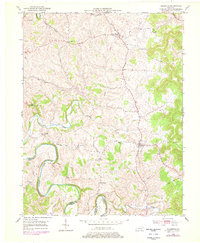
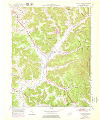
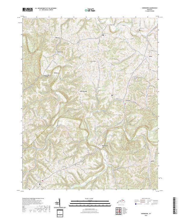
The Licking River winds deeply through the tri-county border of Nicholas, Fleming, and Bath counties in this 1952 study. The settlement of Sherburne sits at a strategic bend in the river, serving as a focal point for a landscape defined by sharp ridges and narrow creek bottoms. To the northwest, the historic crossing at Upper Blue Licks marks an area of significant local importance, while the scattered communities of Milltown, Craintown, and Tilton are connected by a network of winding valley roads.
Find a feature on this map
33 named features on this map. Tap any name to fly to it.
Don’t see what you’re looking for? This feature index may not catch every label — zoom into the map to look around manually.
Map Details
Editions of this 1952 Sherburne Map
This is the sole edition of this map. No revisions or reprints were ever made.
Historical Maps of Pebble Through Time
30 maps found
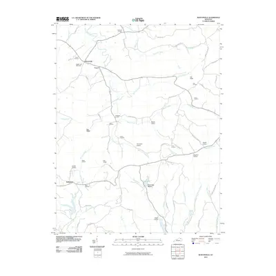
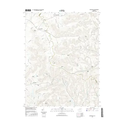
1951 Burtonville
Fleming County, KY
1951 Hillsboro
Fleming County, KY
1951 Plummers Landing
Fleming County, KY
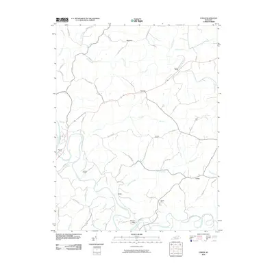
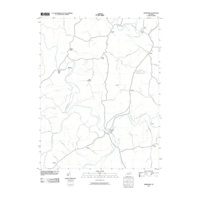
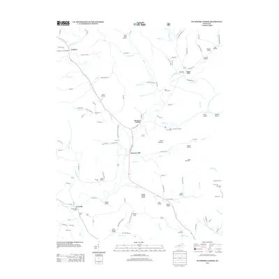
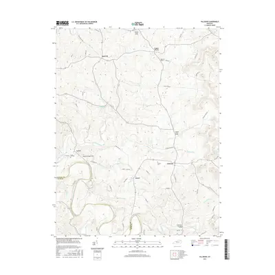
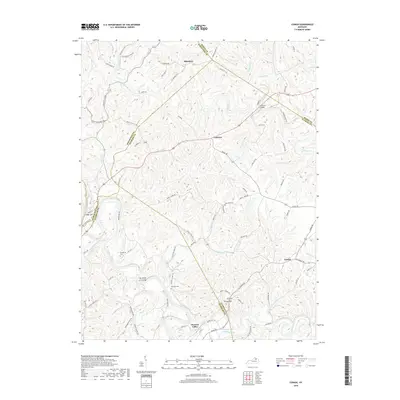
1952 Cowan
Fleming County, KY
1952 Sherburne
Fleming County, KY
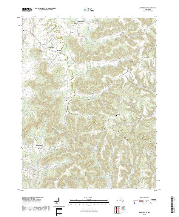
2010 Burtonville
Fleming County, KY
2010 Cowan
Fleming County, KY
2010 Hillsboro
Fleming County, KY
2010 Plummers Landing
Fleming County, KY
2010 Sherburne
Fleming County, KY
2013 Burtonville
Fleming County, KY
2013 Cowan
Fleming County, KY
2013 Hillsboro
Fleming County, KY
2013 Plummers Landing
Fleming County, KY
2013 Sherburne
Fleming County, KY
2016 Burtonville
Fleming County, KY
2016 Cowan
Fleming County, KY
2016 Hillsboro
Fleming County, KY
2016 Plummers Landing
Fleming County, KY
2016 Sherburne
Fleming County, KY
2019 Burtonville
Fleming County, KY
2019 Cowan
Fleming County, KY
2019 Hillsboro
Fleming County, KY
2019 Plummers Landing
Fleming County, KY

2019 Sherburne
Fleming County, KY
2022 Burtonville
Fleming County, KY
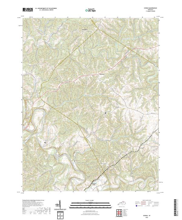
2022 Cowan
Fleming County, KY
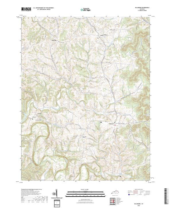
2022 Hillsboro
Fleming County, KY
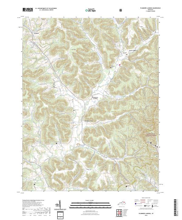
2022 Plummers Landing
Fleming County, KY
2022 Sherburne
Fleming County, KY