
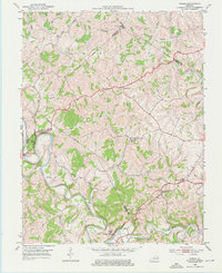
1952 Map of Cowan
USGS Topo · Published 1953About this map
Licking River meanders through this section of the Kentucky Bluegrass region, where the borders of Fleming, Nicholas, Mason, and Robertson counties converge. This 1952 survey highlights the Blue Licks Battlefield State Park, preserving the site of one of the final battles of the American Revolutionary War. The landscape is characterized by its agricultural heritage, with small settlements like Cowan, Alhambra, and Fairview connected by winding ridge roads.
Find a feature on this map
38 named features on this map. Tap any name to fly to it.
Don’t see what you’re looking for? This feature index may not catch every label — zoom into the map to look around manually.
Map Details
Editions of this 1952 Cowan Map
3 editions found
Other maps of this area

1915 · Maysville
USGS Topo · 1:62,500

1919 · Maysville
USGS Topo · 1:62,500

1952 · Sherburne
USGS Topo · 1:24,000

1952 · Elizaville
USGS Topo · 1:24,000

1952 · Sardis
USGS Topo · 1:24,000

1952 · Mount Olivet
USGS Topo · 1:24,000

1952 · Piqua
USGS Topo · 1:24,000
1952 · Mays Lick
USGS Topo · 1:24,000

1953 · Carlisle
USGS Topo · 1:24,000

1953 · Moorefield
USGS Topo · 1:24,000