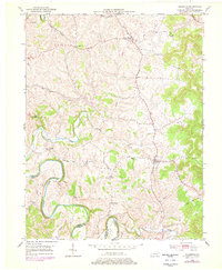
1951 Map of Hillsboro
USGS Topo · Published 1978About this map
The winding loops of the Licking River define the southern and western reaches of this landscape on the border of Fleming and Bath counties. This mid-century survey, updated in the late 1970s, documents a rural network of small communities and crossroads settlements such as Hillsboro, Poplar Plains, and Sunset. The terrain is deeply incised by numerous waterways, including Locust Creek, Fox Creek, and Indian Creek, which converge toward the river valley.
Find a feature on this map
23 named features on this map. Tap any name to fly to it.
Don’t see what you’re looking for? This feature index may not catch every label — zoom into the map to look around manually.
Map Details
Editions of this 1951 Hillsboro Map
5 editions found
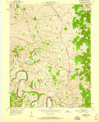
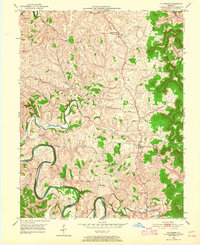
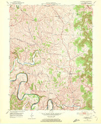
Other maps of this area

1929 · Salt Lick
USGS Topo · 1:62,500

1934 · Salt Lick
USGS Topo · 1:62,500

1951 · Hillsboro
USGS Topo · 1:24,000

1951 · Plummers Landing
USGS Topo · 1:24,000

1951 · Burtonville
USGS Topo · 1:24,000

1951 · Flemingsburg
USGS Topo · 1:24,000

1952 · Owingsville
USGS Topo · 1:24,000

1952 · Sherburne
USGS Topo · 1:24,000

1952 · Elizaville
USGS Topo · 1:24,000

1953 · Farmers
USGS Topo · 1:24,000