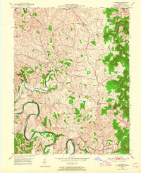
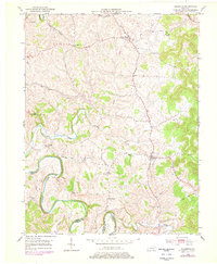
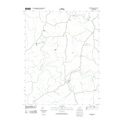
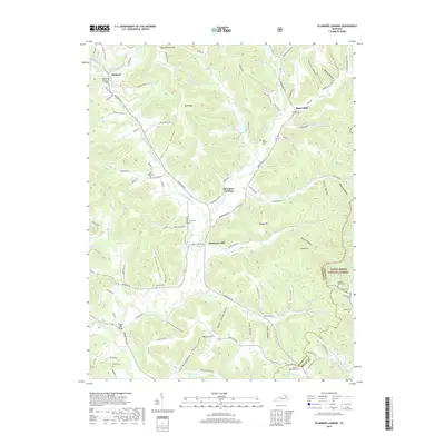
1951 Map of Hillsboro
USGS Topo · Published 1965About this map
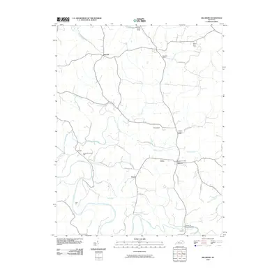
Hillsboro and Poplar Plains serve as the primary nodes of activity in this 1951 study of the Fleming County landscape. The area is defined by its complex drainage network, where the Licking River forms a major southern boundary, winding through the terrain alongside numerous tributaries such as Locust Creek, Fox Creek, and Indian Creek. The map documents a predominantly rural and religious local culture, anchored by landmarks like Mt Hope Camp and Eden Chapel. Small crossroad settlements like Sunset and Bald Hill appear among the ridges, while the presence of an Inactive Rock Quarry near the northern edge suggests the earlier extraction of local stone. For genealogists, the Hillsboro Cemetery provides a specific point of reference within the settlement of Hillsboro, situated amidst the undulating hills and creek branches that characterize this part of Kentucky.
Find a feature on this map
20 named features on this map. Tap any name to fly to it.
Don’t see what you’re looking for? This feature index may not catch every label — zoom into the map to look around manually.
Map Details
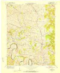
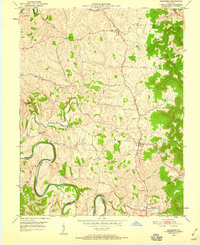
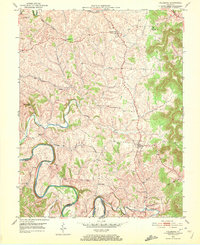
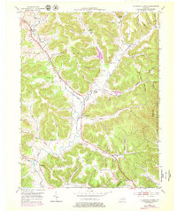
Editions of this 1951 Hillsboro Map
5 editions found
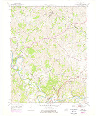
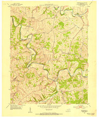
Historical Maps of Hillsboro Through Time
30 maps found

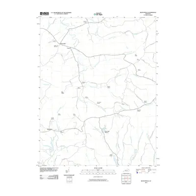
1951 Burtonville
Fleming County, KY
1951 Hillsboro
Fleming County, KY
1951 Plummers Landing
Fleming County, KY
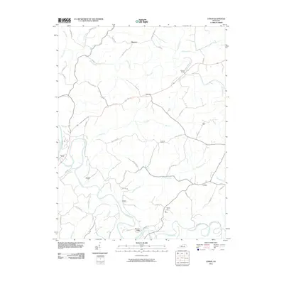
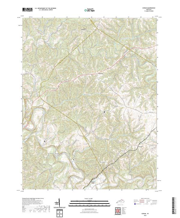
1952 Cowan
Fleming County, KY
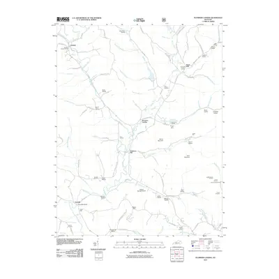
1952 Sherburne
Fleming County, KY
2010 Burtonville
Fleming County, KY
2010 Cowan
Fleming County, KY
2010 Hillsboro
Fleming County, KY
2010 Plummers Landing
Fleming County, KY
2010 Sherburne
Fleming County, KY

2013 Burtonville
Fleming County, KY

2013 Cowan
Fleming County, KY

2013 Hillsboro
Fleming County, KY
2013 Plummers Landing
Fleming County, KY
2013 Sherburne
Fleming County, KY

2016 Burtonville
Fleming County, KY

2016 Cowan
Fleming County, KY
2016 Hillsboro
Fleming County, KY

2016 Plummers Landing
Fleming County, KY

2016 Sherburne
Fleming County, KY

2019 Burtonville
Fleming County, KY

2019 Cowan
Fleming County, KY

2019 Hillsboro
Fleming County, KY
2019 Plummers Landing
Fleming County, KY

2019 Sherburne
Fleming County, KY

2022 Burtonville
Fleming County, KY
2022 Cowan
Fleming County, KY

2022 Hillsboro
Fleming County, KY

2022 Plummers Landing
Fleming County, KY

2022 Sherburne
Fleming County, KY