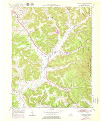
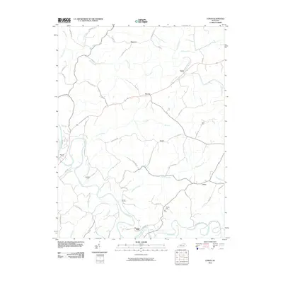
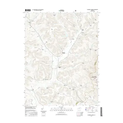
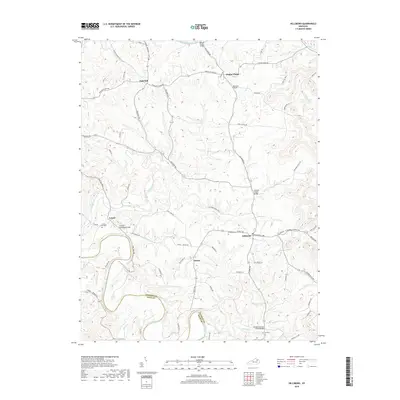
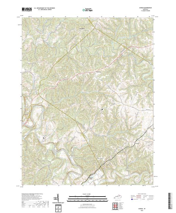
1952 Map of Cowan
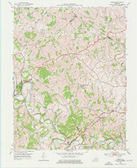
USGS Topo · Published 1975About this map
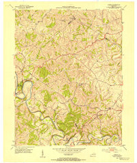
The Licking River carves a winding path through the borderlands of Fleming, Robertson, and Nicholas counties in the early 1950s. This region is anchored by the historic Blue Licks Battlefield State Park and the nearby Blue Licks Spr, marking a site of significant frontier history. The landscape is defined by its watercourses, including Fleming Creek and Johnson Creek, which shaped the placement of early rural settlements like Cowan and Fairview.
Find a feature on this map
36 named features on this map. Tap any name to fly to it.
Don’t see what you’re looking for? This feature index may not catch every label — zoom into the map to look around manually.
Map Details
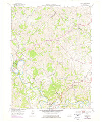
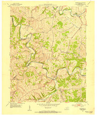
Editions of this 1952 Cowan Map
3 editions found
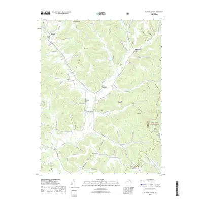
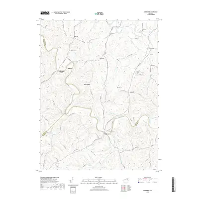
Historical Maps of Cowan Through Time
30 maps found
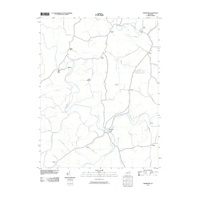
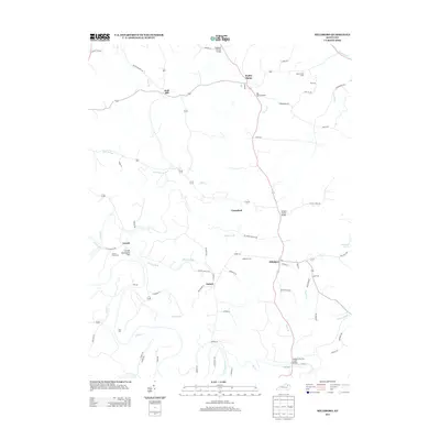
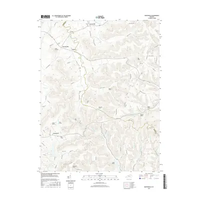
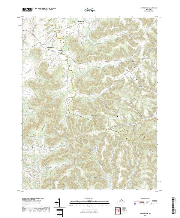
1951 Burtonville
Fleming County, KY
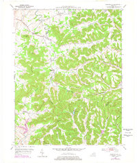
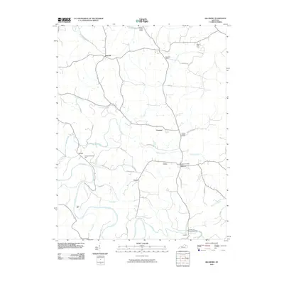
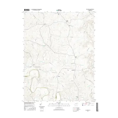
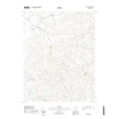
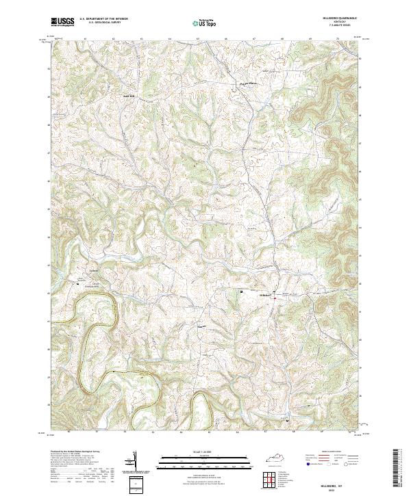
1951 Hillsboro
Fleming County, KY
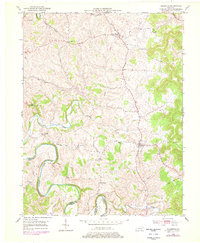
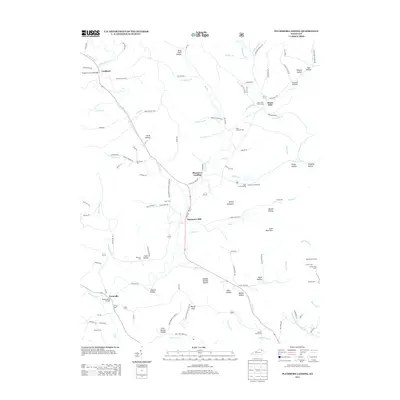
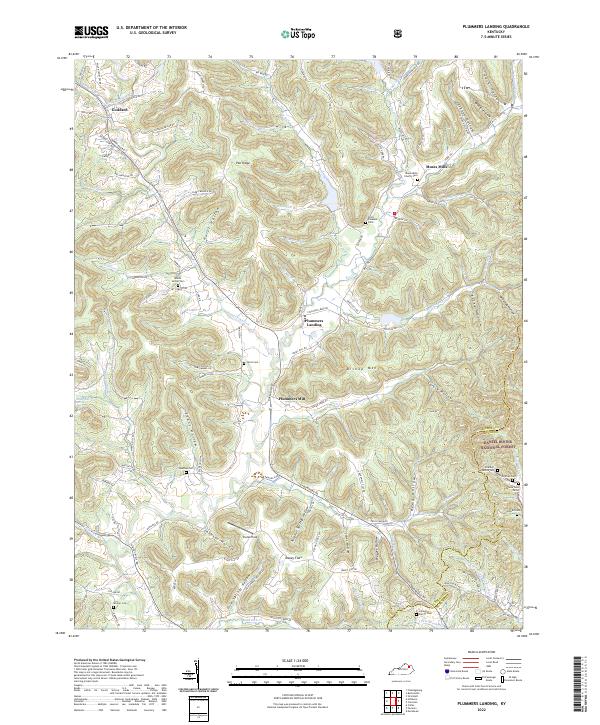
1951 Plummers Landing
Fleming County, KY
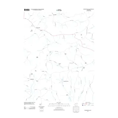
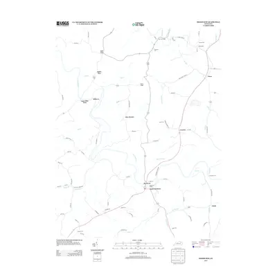
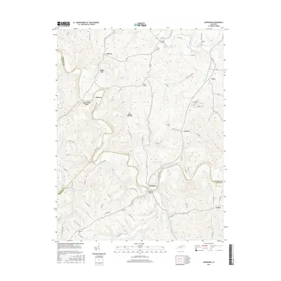
1952 Cowan
Fleming County, KY
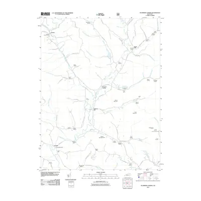
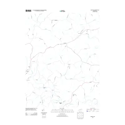
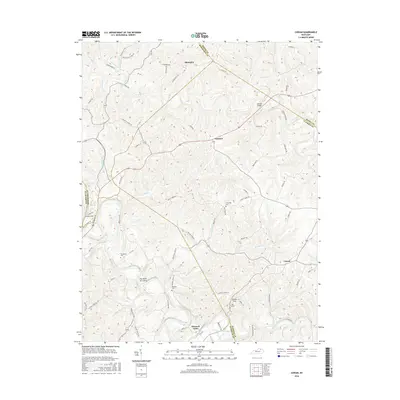
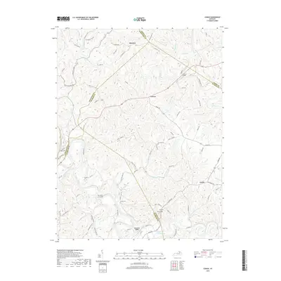
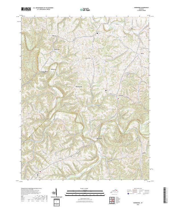
1952 Sherburne
Fleming County, KY
2010 Burtonville
Fleming County, KY
2010 Cowan
Fleming County, KY
2010 Hillsboro
Fleming County, KY
2010 Plummers Landing
Fleming County, KY
2010 Sherburne
Fleming County, KY
2013 Burtonville
Fleming County, KY
2013 Cowan
Fleming County, KY
2013 Hillsboro
Fleming County, KY
2013 Plummers Landing
Fleming County, KY
2013 Sherburne
Fleming County, KY
2016 Burtonville
Fleming County, KY
2016 Cowan
Fleming County, KY
2016 Hillsboro
Fleming County, KY
2016 Plummers Landing
Fleming County, KY
2016 Sherburne
Fleming County, KY
2019 Burtonville
Fleming County, KY
2019 Cowan
Fleming County, KY
2019 Hillsboro
Fleming County, KY
2019 Plummers Landing
Fleming County, KY
2019 Sherburne
Fleming County, KY
2022 Burtonville
Fleming County, KY
2022 Cowan
Fleming County, KY
2022 Hillsboro
Fleming County, KY
2022 Plummers Landing
Fleming County, KY
2022 Sherburne
Fleming County, KY