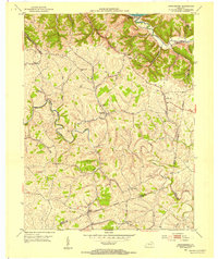
1952 Map of Orangeburg
USGS Topo · Published 1954About this map
The North Fork Licking River meanders through the heart of this landscape, its tight bends defining the topography of southern Mason County in the early 1950s. At the center of the local road network lies Orangeburg, a hub for the surrounding rural communities of Plumville, Rectorville, and Somo. This area is characterized by a high density of country churches, including Bethany Ch and Oak Woods Ch, which served the scattered farmsteads along the ridges and hollows.
Find a feature on this map
34 named features on this map. Tap any name to fly to it.
Don’t see what you’re looking for? This feature index may not catch every label — zoom into the map to look around manually.
Map Details
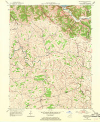
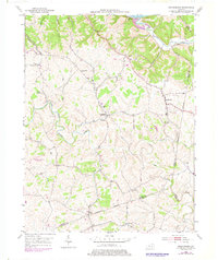
Editions of this 1952 Orangeburg Map
3 editions found
Other maps of this area

1915 · Maysville
USGS Topo · 1:62,500

1919 · Maysville
USGS Topo · 1:62,500

1929 · Springdale
USGS Topo · 1:48,000

1935 · Springdale
USGS Topo · 1:62,500

1951 · Burtonville
USGS Topo · 1:24,000

1951 · Flemingsburg
USGS Topo · 1:24,000

1952 · Maysville East
USGS Topo · 1:24,000

1952 · Elizaville
USGS Topo · 1:24,000

1952 · Maysville West
USGS Topo · 1:24,000
1952 · Mays Lick
USGS Topo · 1:24,000