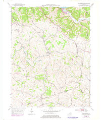
1952 Map of Orangeburg
USGS Topo · Published 1978About this map
The North Fork Licking River winds through the heart of this landscape where Mason, Lewis, and Fleming counties meet. The terrain is characterized by deeply incised hollows and winding creek beds, including Sleepy Hollow and Owl Hollow, which drain toward the Ohio River in the north and the Licking River to the south. Small rural communities and crossroads anchor the region, such as Orangeburg and Rectorville, connected by a network of ridge-top and valley roads.
Find a feature on this map
39 named features on this map. Tap any name to fly to it.
Don’t see what you’re looking for? This feature index may not catch every label — zoom into the map to look around manually.
Map Details
Editions of this 1952 Orangeburg Map
3 editions found
Other maps of this area

1915 · Maysville
USGS Topo · 1:62,500

1919 · Maysville
USGS Topo · 1:62,500

1929 · Springdale
USGS Topo · 1:48,000

1935 · Springdale
USGS Topo · 1:62,500

1951 · Burtonville
USGS Topo · 1:24,000

1951 · Flemingsburg
USGS Topo · 1:24,000

1952 · Maysville East
USGS Topo · 1:24,000

1952 · Elizaville
USGS Topo · 1:24,000

1952 · Maysville West
USGS Topo · 1:24,000
1952 · Orangeburg
USGS Topo · 1:24,000